Uphill
722m
Length
9km
Duration
5h
Elev gain
722m
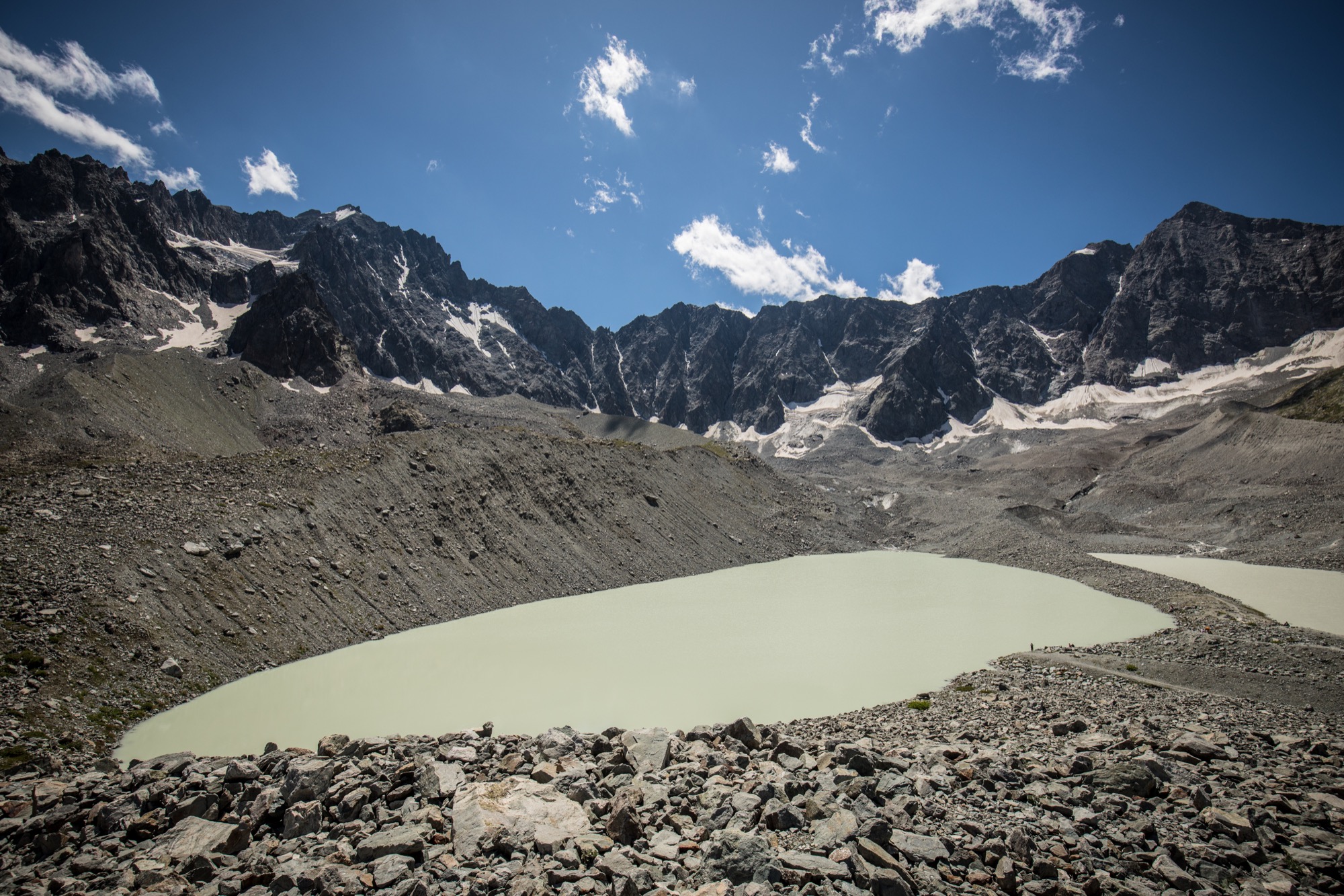
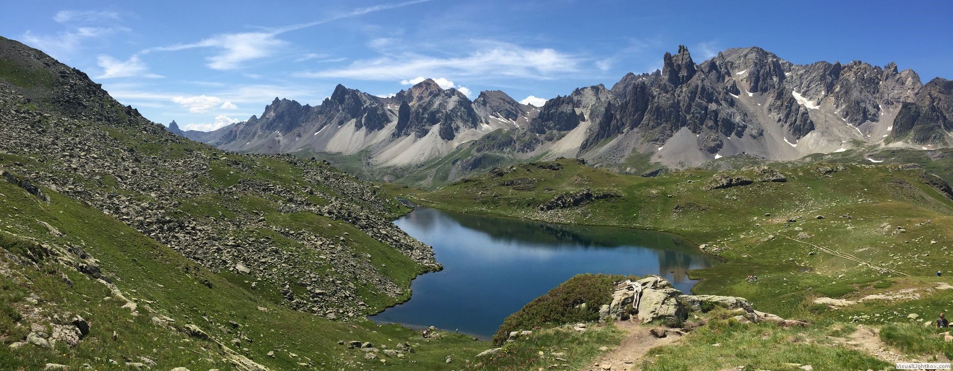
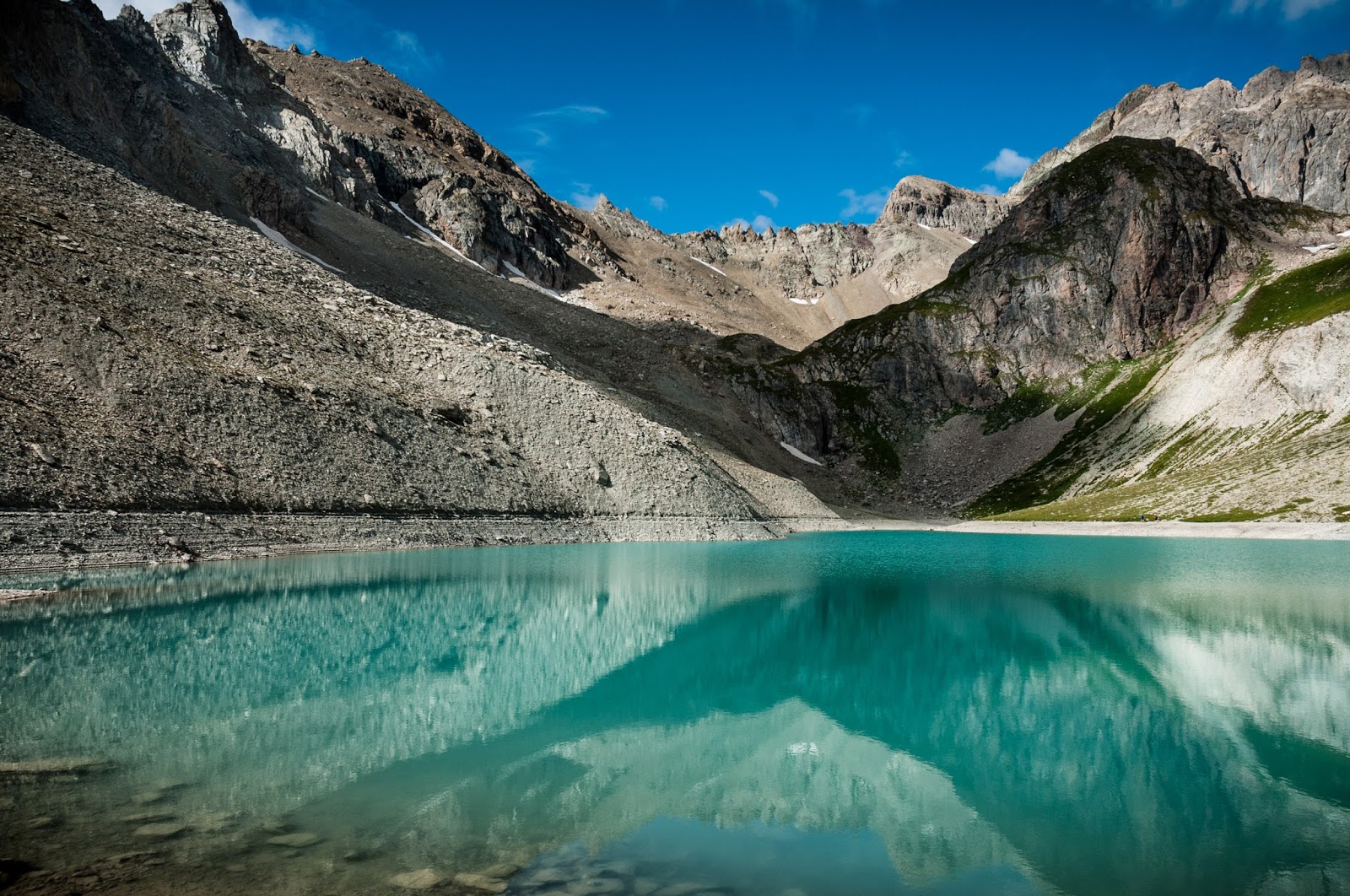
Starting from Plan de l'Alp, this trail follows the Rif torrent under the impressive cliffs of the Aiguillette du Lauzet, before crossing pastures to the turquoise waters of the Grand Lac.
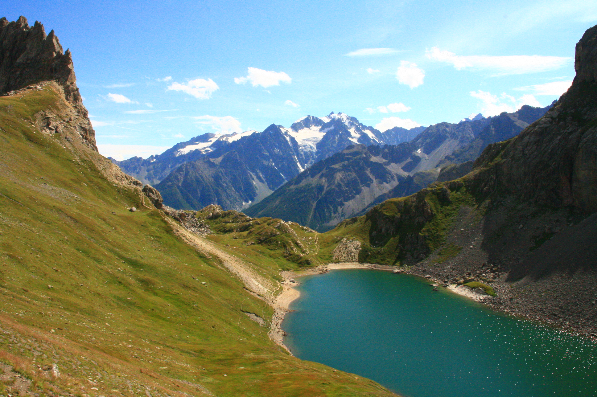
The return is via a rocky corridor, to be avoided by people prone to vertigo.

Already more than 200,000 users!
Uphill
722m
Highest point
2431m
Downhill
722m
Lowest point
1712m
Route type
Loop
Download the map on your smartphone to save battery and rest assured to always keep access to the route, even without signal.
Includes IGN France and Swisstopo.
I indicate whether dogs are allowed or prohibited on this trail
From June to September
0 ratings
Also enjoy:

Already more than 200,000 users!