Uphill
1224m
Length
15km
Duration
8h30min
Elev gain
1224m
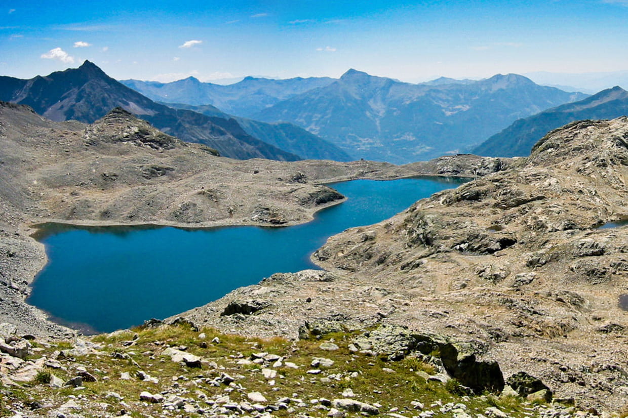
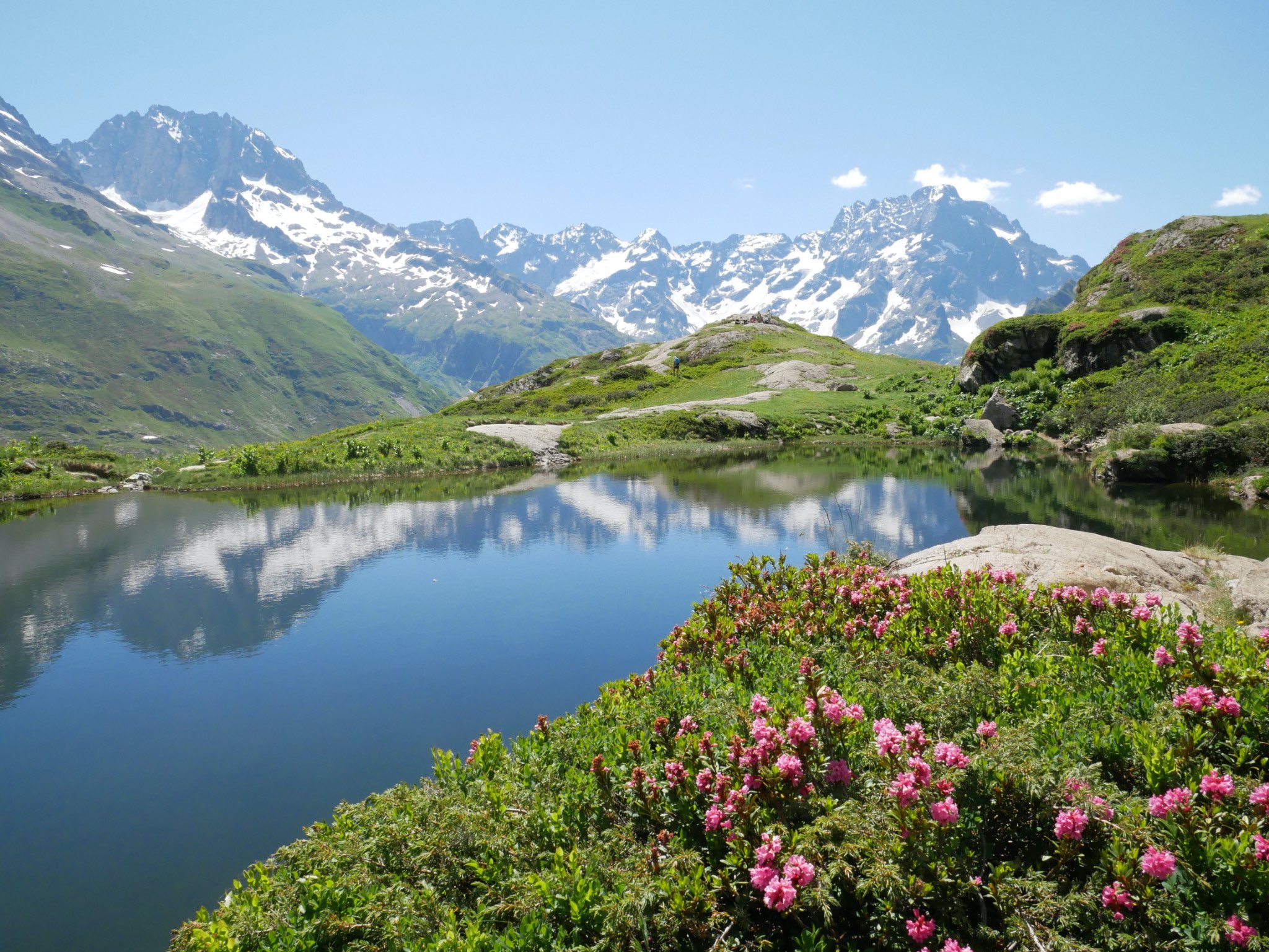
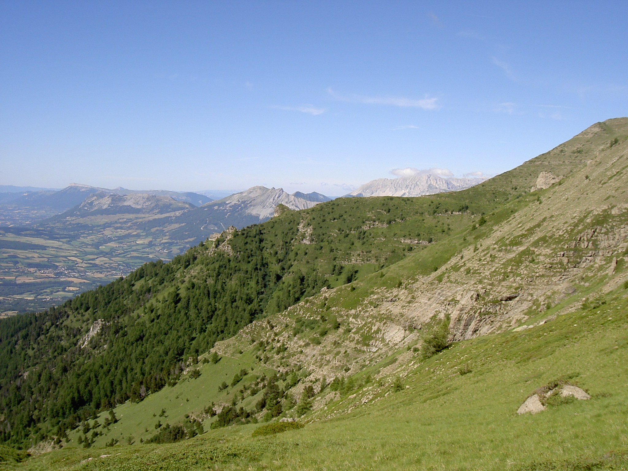
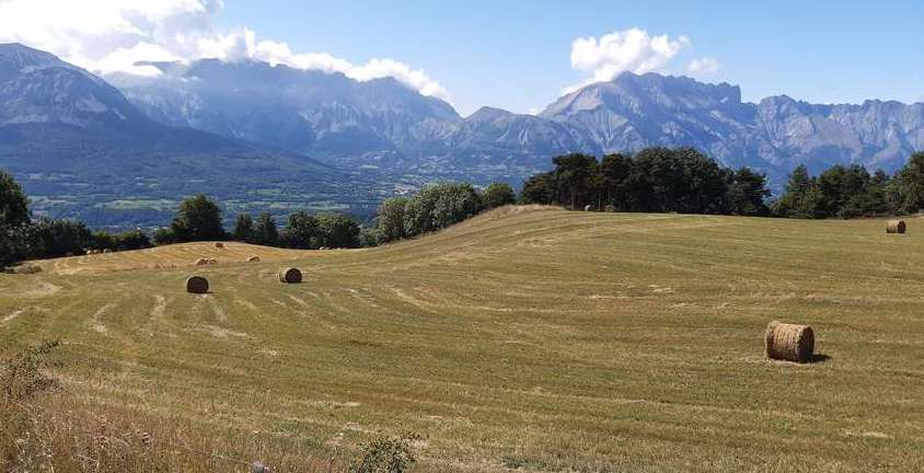
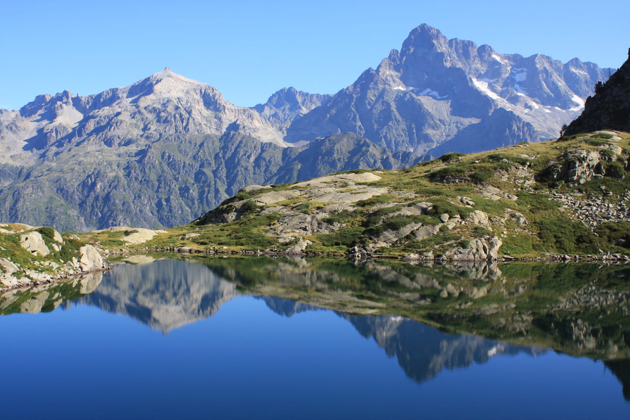
Beautiful and challenging hike to Pic de Pétarel (2619 m) and its lakes. These offer lovely reflections of Mount Olan.

Already more than 200,000 users!
Uphill
1224m
Highest point
2466m
Downhill
1224m
Lowest point
1256m
Route type
Loop
Download the map on your smartphone to save battery and rest assured to always keep access to the route, even without signal.
Includes IGN France and Swisstopo.
I indicate whether dogs are allowed or prohibited on this trail
From June to September
3 ratings
Also enjoy:

Already more than 200,000 users!