Uphill
814m
Length
9km
Duration
5h30min
Elev gain
814m
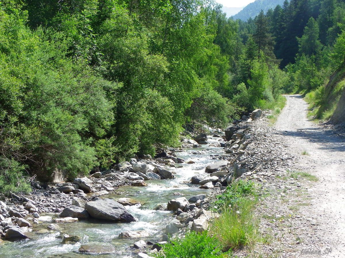
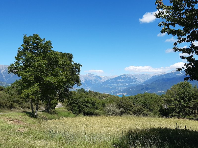
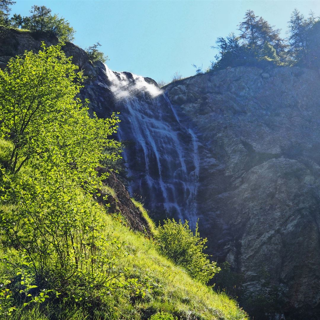
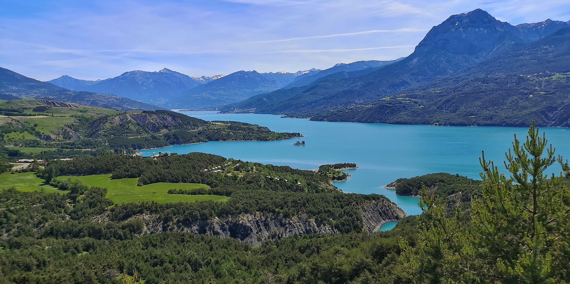
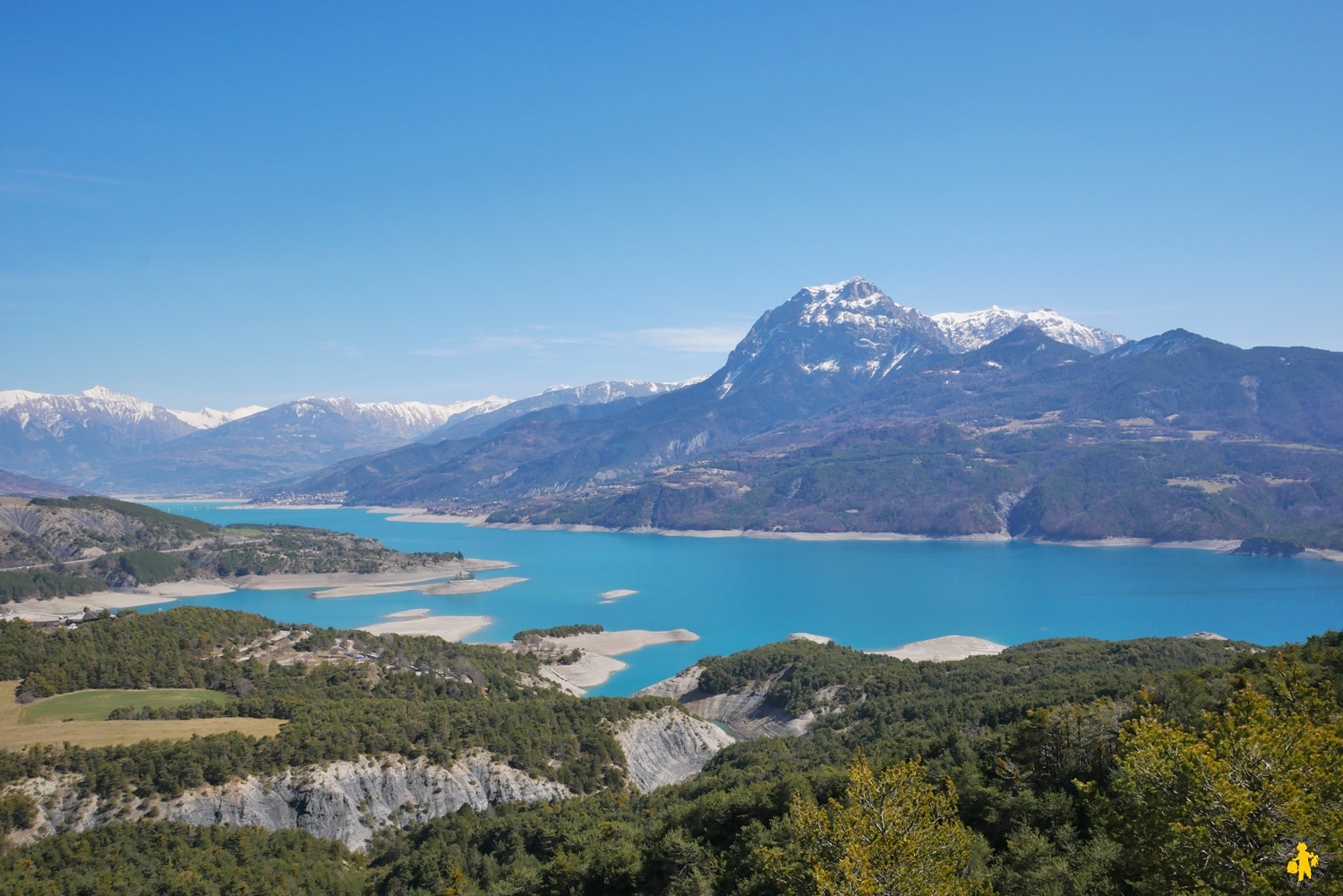
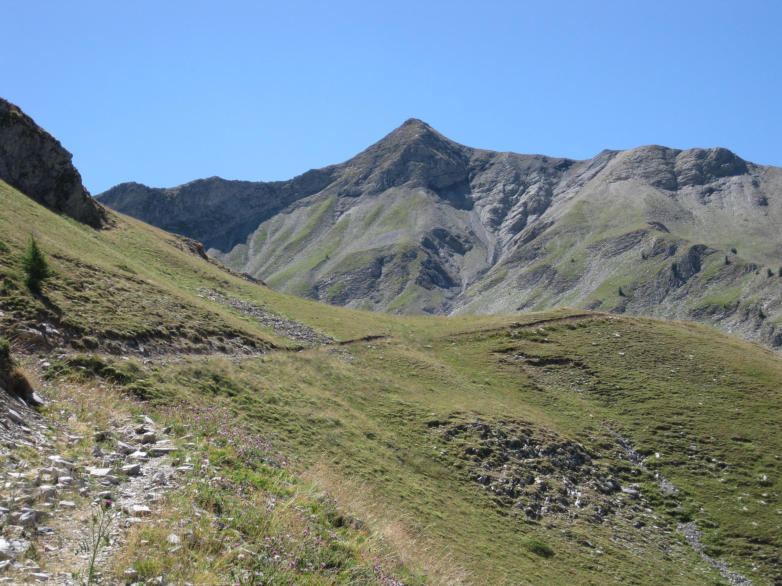
Nice hike in the Ecrins to attack the Piolit. A part is done in the forest where the flora is perennial and beautiful. At the top, a 360° panorama awaits you!

Already more than 200,000 users!
Uphill
814m
Highest point
2441m
Downhill
814m
Lowest point
1651m
Route type
There and back
Download the map on your smartphone to save battery and rest assured to always keep access to the route, even without signal.
Includes IGN France and Swisstopo.
I indicate whether dogs are allowed or prohibited on this trail
From June to September
2 ratings
Also enjoy:

Already more than 200,000 users!