Uphill
562m
Length
10km
Duration
4h
Elev gain
562m
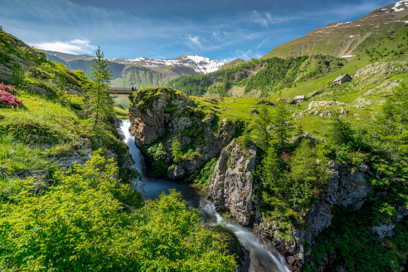
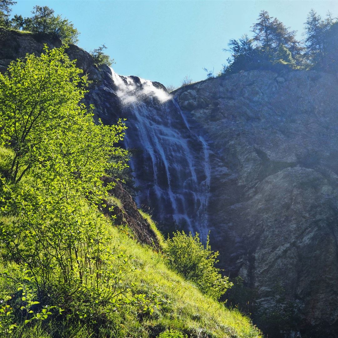
Starting at the Gourniers bridge and the Marmite des Géants, this trail runs along many small waterfalls located on the Réallon torrent. It then passes through the Saint-Marcellin chapel before reaching the Pré d'Antoni hut.

Already more than 200,000 users!
Uphill
562m
Highest point
1851m
Downhill
562m
Lowest point
1468m
Route type
There and back
Download the map on your smartphone to save battery and rest assured to always keep access to the route, even without signal.
Includes IGN France and Swisstopo.
I indicate whether dogs are allowed or prohibited on this trail
From May to October
2 ratings
Also enjoy:

Already more than 200,000 users!