Uphill
874m
Length
12km
Duration
6h
Elev gain
874m
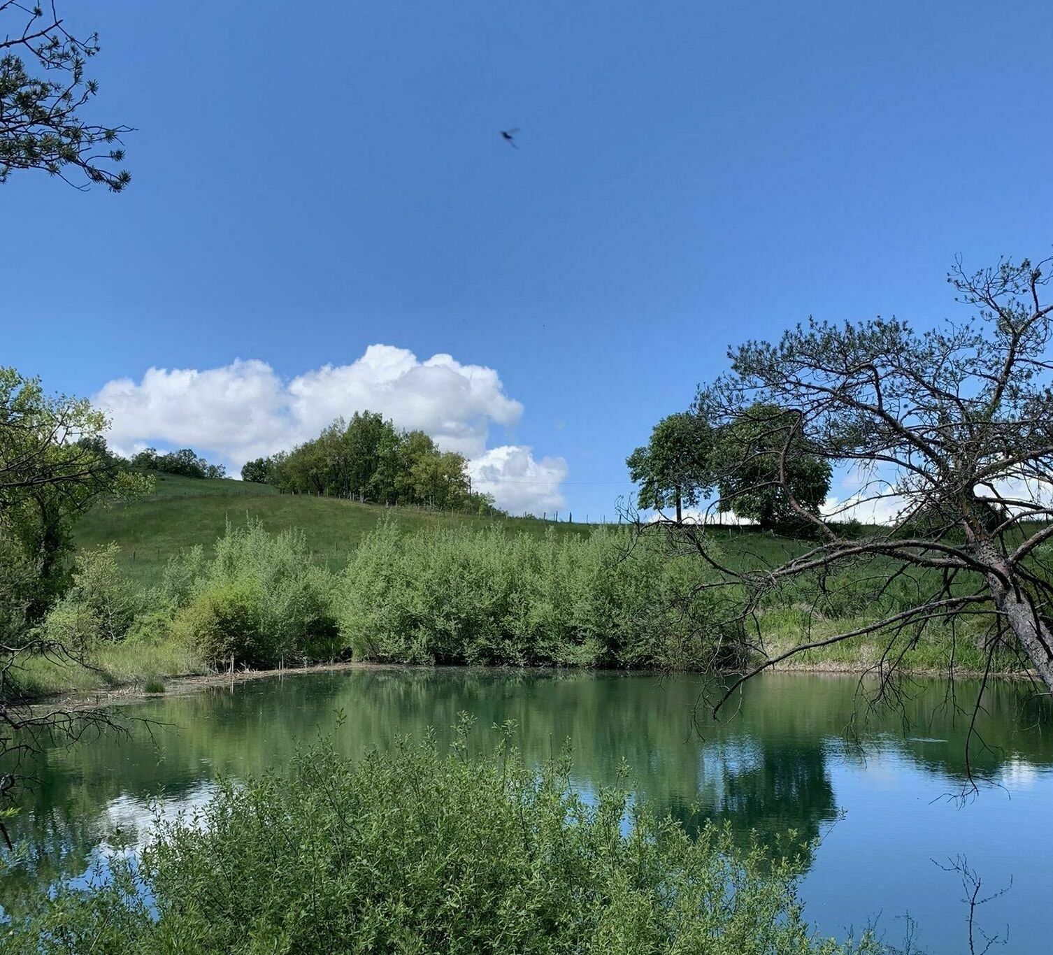
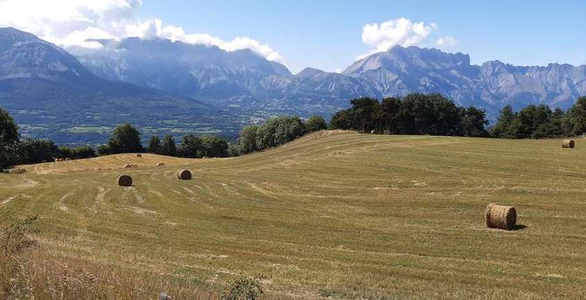
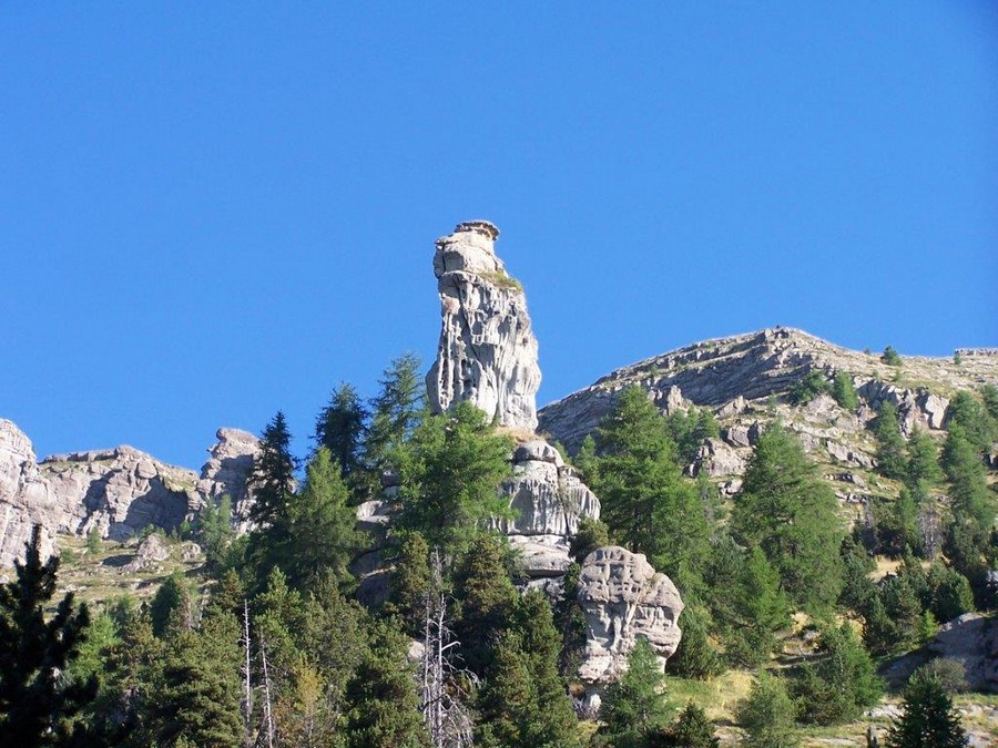
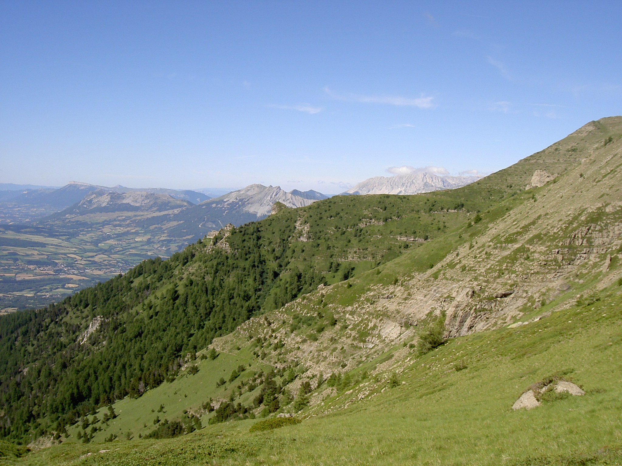
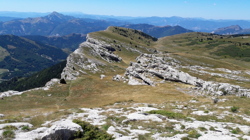
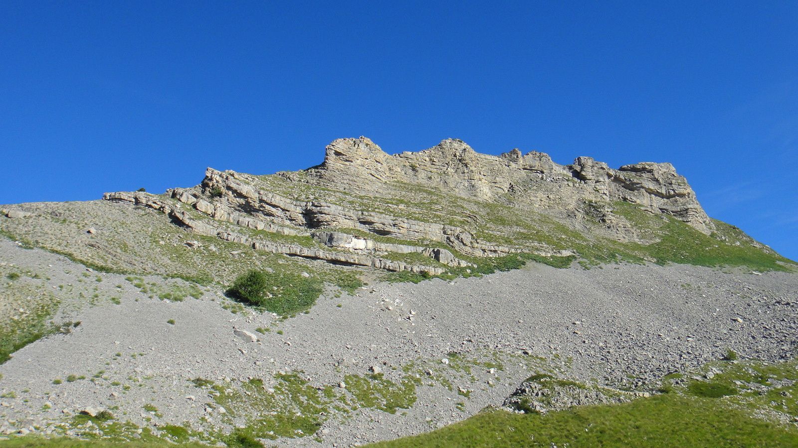
Departing from the Col de Gleize, descent into the forest to the ancient village of Chaudun. Then begins the ascent of the peak of Gleize (2,161m), which offers a magnificent panorama stretching from the Baronnies to the Ecrins.

Already more than 200,000 users!
Uphill
874m
Highest point
2149m
Downhill
874m
Lowest point
1316m
Route type
Loop
Download the map on your smartphone to save battery and rest assured to always keep access to the route, even without signal.
Includes IGN France and Swisstopo.
I indicate whether dogs are allowed or prohibited on this trail
From May to September
0 ratings
Also enjoy:

Already more than 200,000 users!