Uphill
362m
France > Provence-Alpes-Côte d'Azur > Alpes-de-Haute-Provence
Length
10km
Duration
3h30min
Elev gain
362m
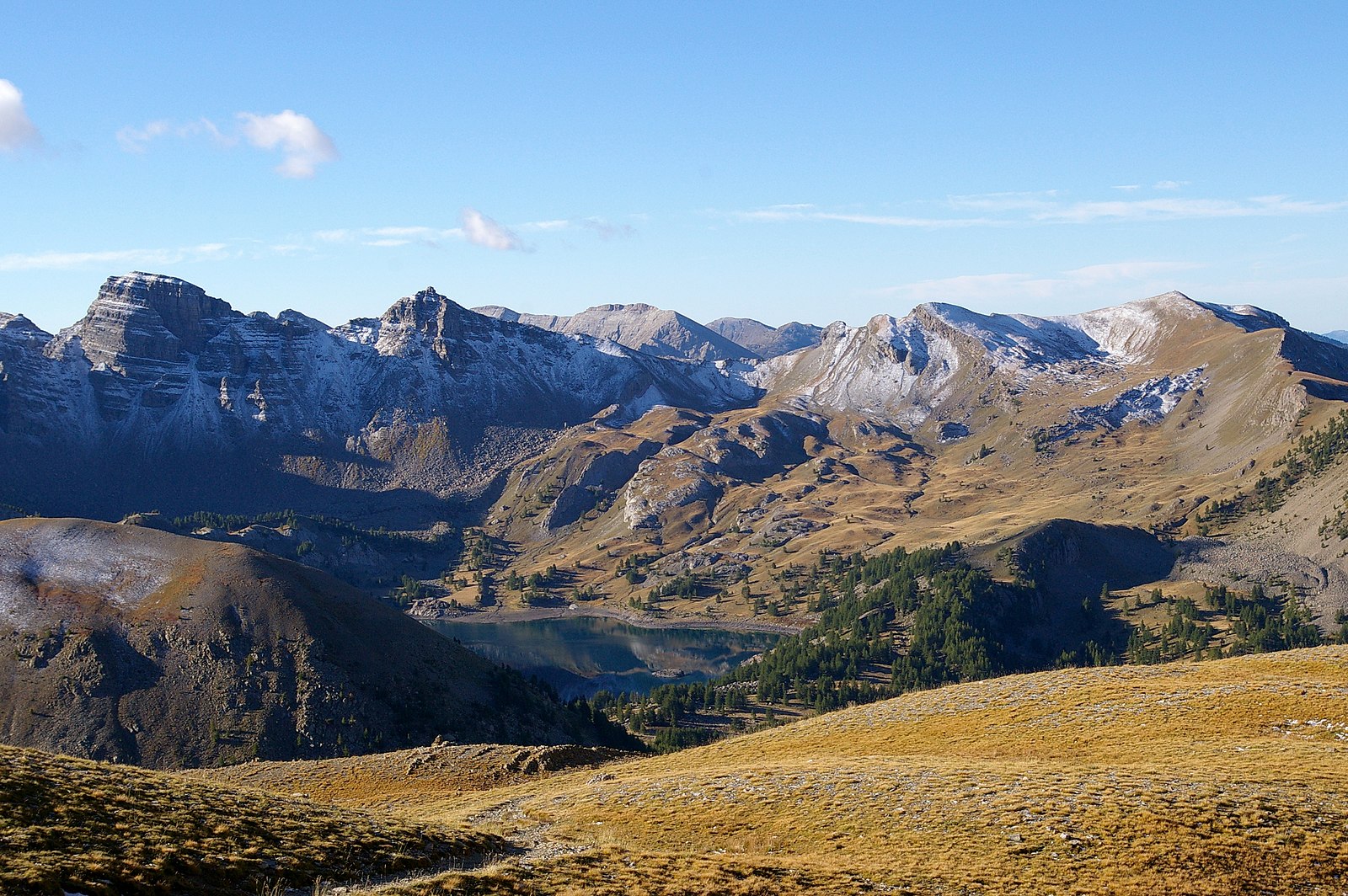
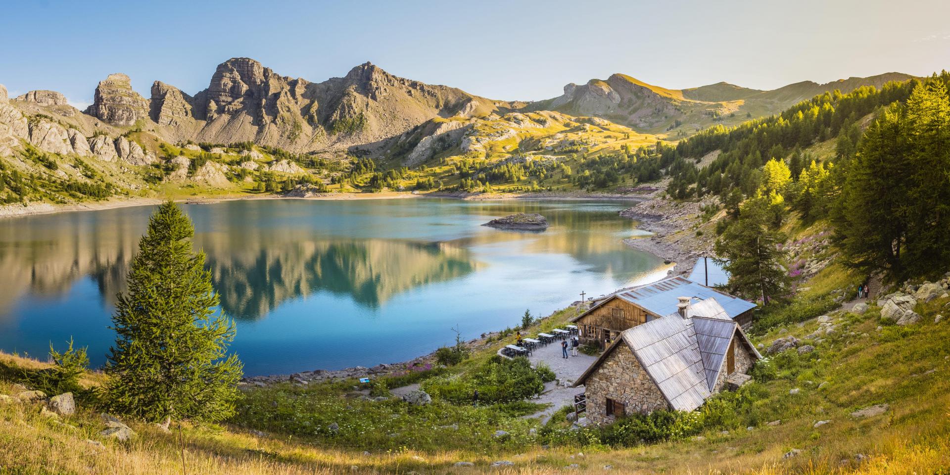
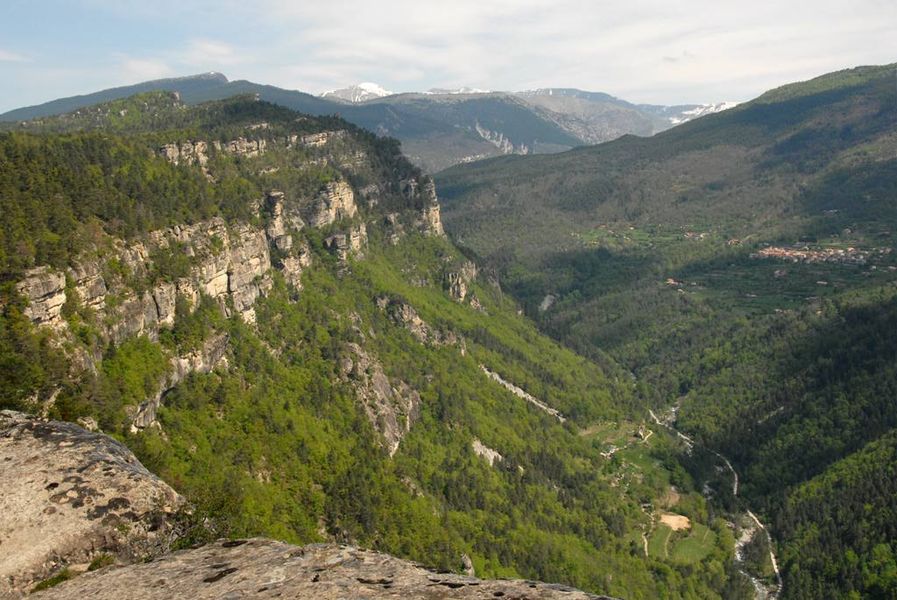
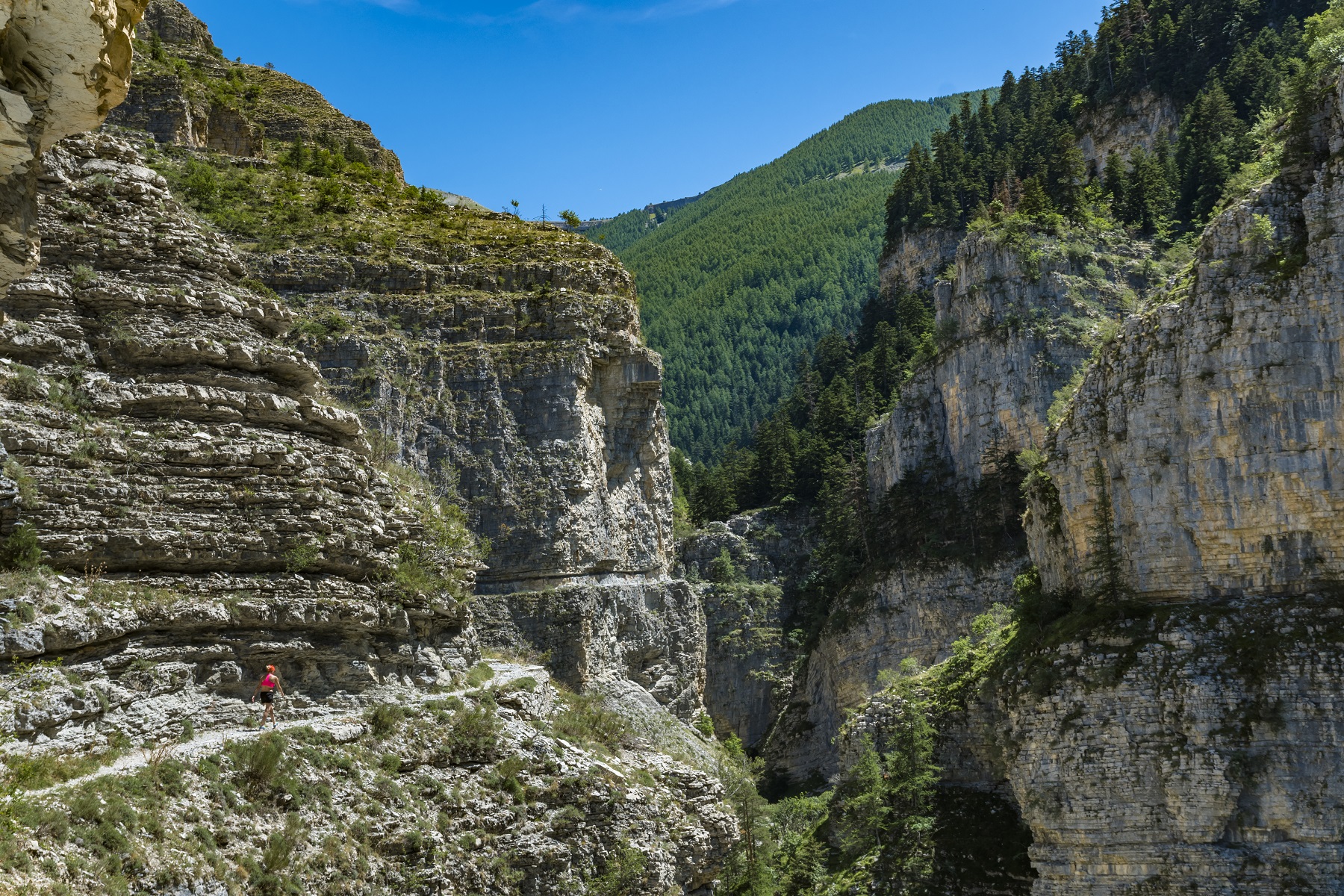
Departing from Allos, this is a nice hike in the Vacheresse wood then along the course of the Chadoulin. Many viewpoints throughout.
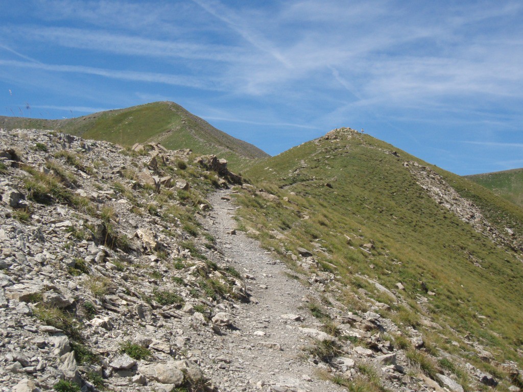
Note, however, several passages on track and on the road.

Already more than 200,000 users!
Uphill
362m
Highest point
1804m
Downhill
362m
Lowest point
1436m
Route type
Loop
Download the map on your smartphone to save battery and rest assured to always keep access to the route, even without signal.
Includes IGN France and Swisstopo.
I indicate whether dogs are allowed or prohibited on this trail
From May to October
0 ratings
Also enjoy:

Already more than 200,000 users!