Uphill
896m
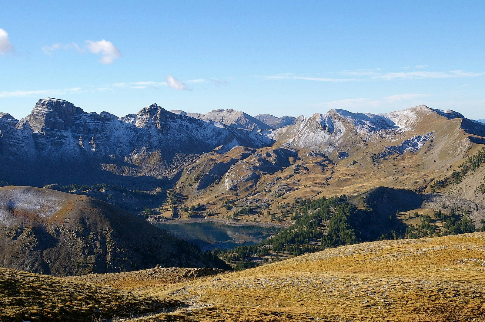
France > Provence-Alpes-Côte d'Azur > Alpes-de-Haute-Provence > Mercantour National Park
Length
15km
Duration
6h30min
Elev gain
896m
Wonderful area nestled in the Mercantour National Park. This hike takes place in a beautiful pine forest up to Mont Pelat, considered the most accessible summit of over 3,000 meters in the Southern Alps. Lake Allos, located on the way, is the largest natural high altitude lake in Europe.

Already more than 200,000 users!
Uphill
896m
Highest point
2992m
Downhill
896m
Lowest point
2109m
Route type
There and back
Download the map on your smartphone to save battery and rest assured to always keep access to the route, even without signal.
Includes IGN France and Swisstopo.
2 ratings
Also enjoy:

Already more than 200,000 users!


