Uphill
606m
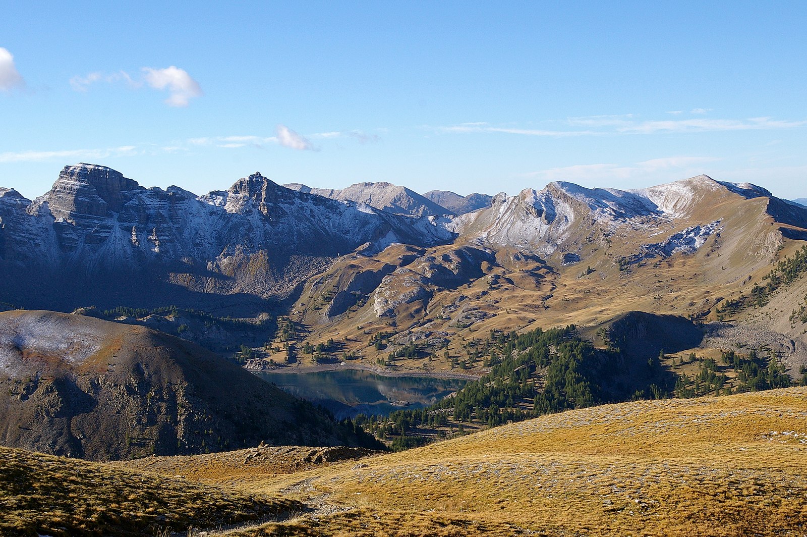
France > Provence-Alpes-Côte d'Azur > Alpes-de-Haute-Provence > Mercantour National Park
Length
13km
Duration
5h
Elev gain
606m
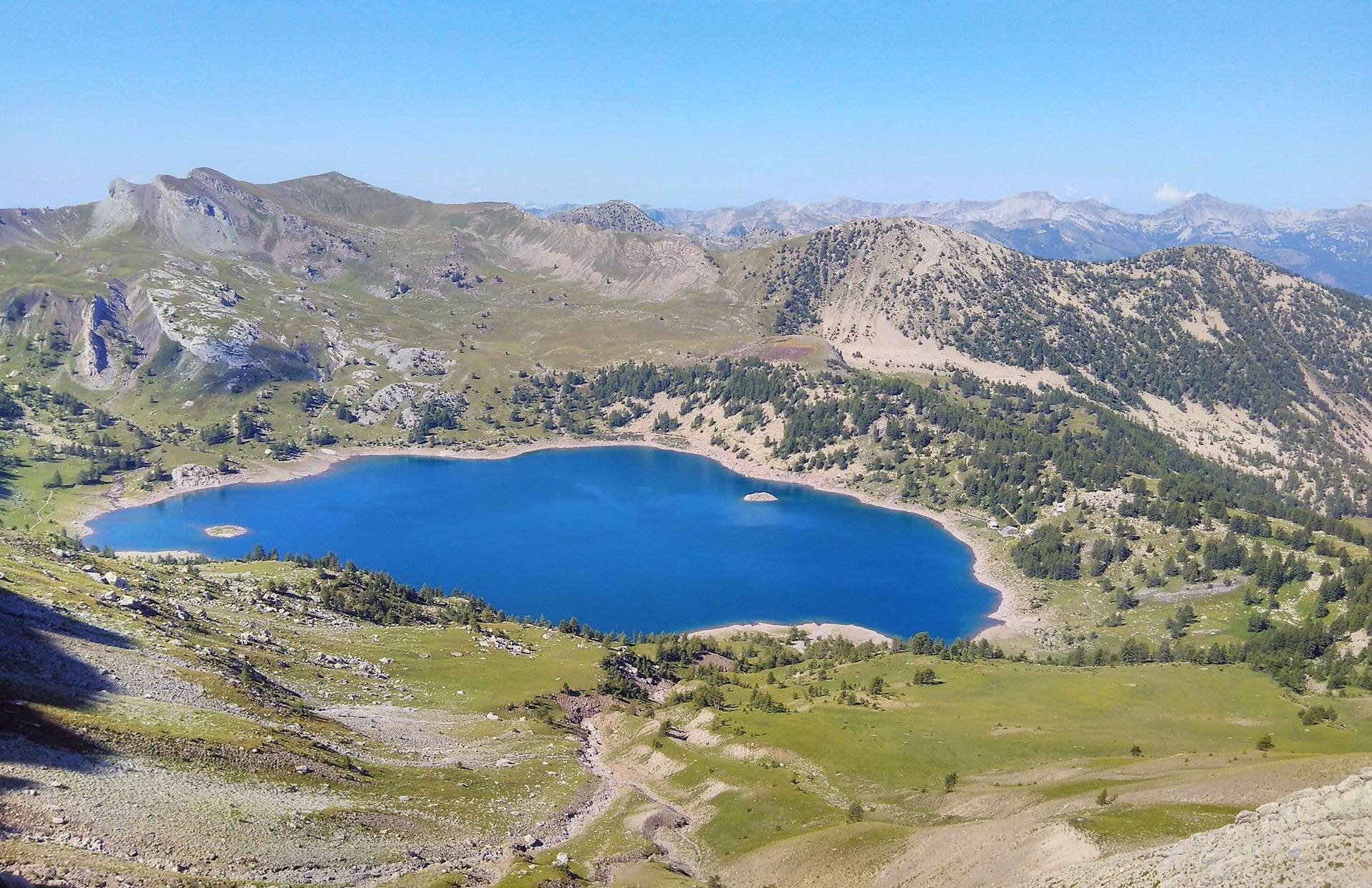
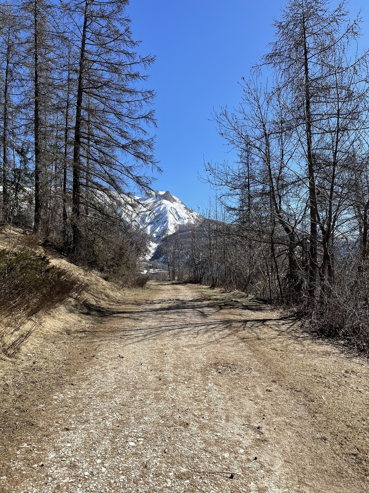
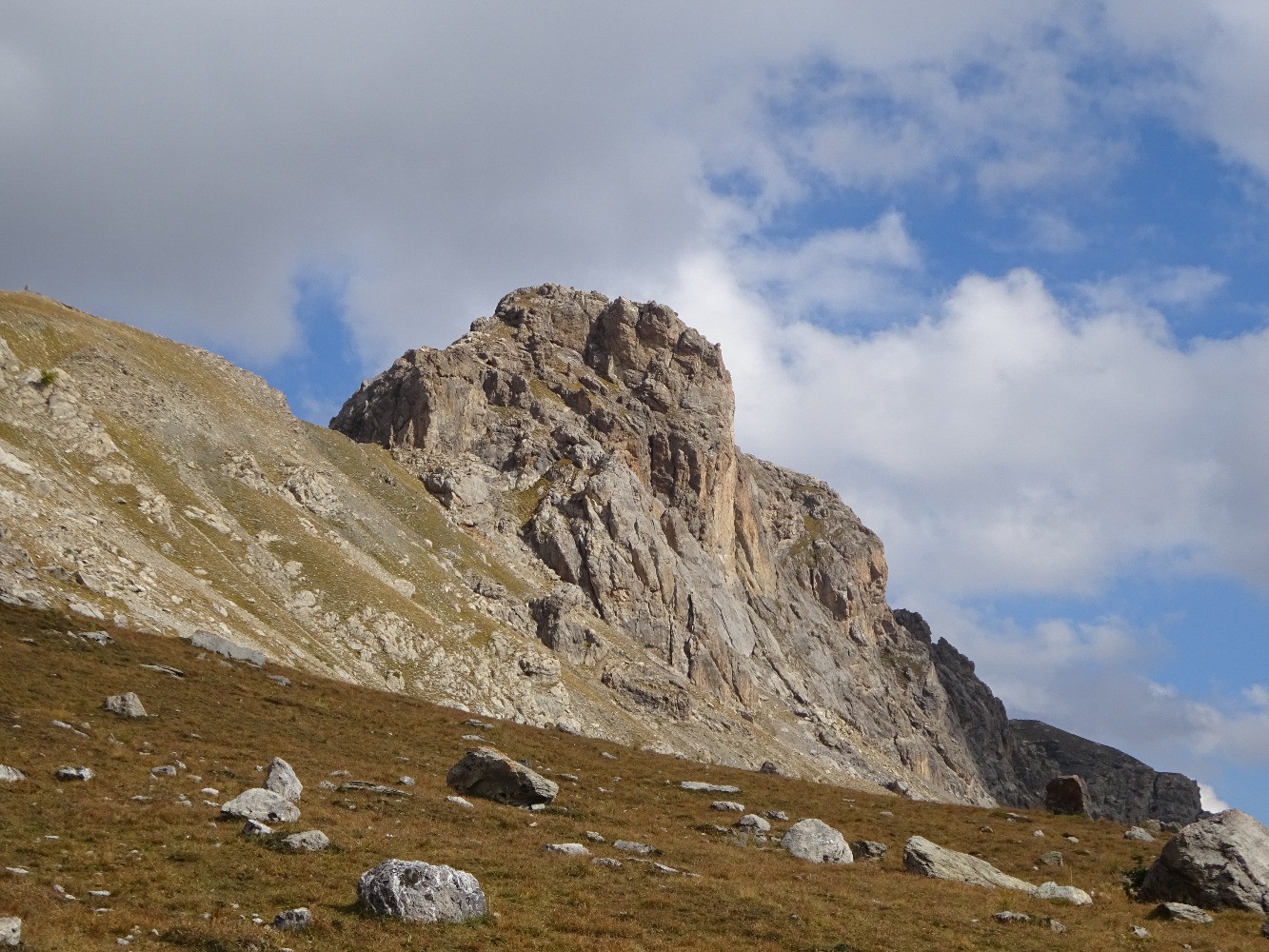
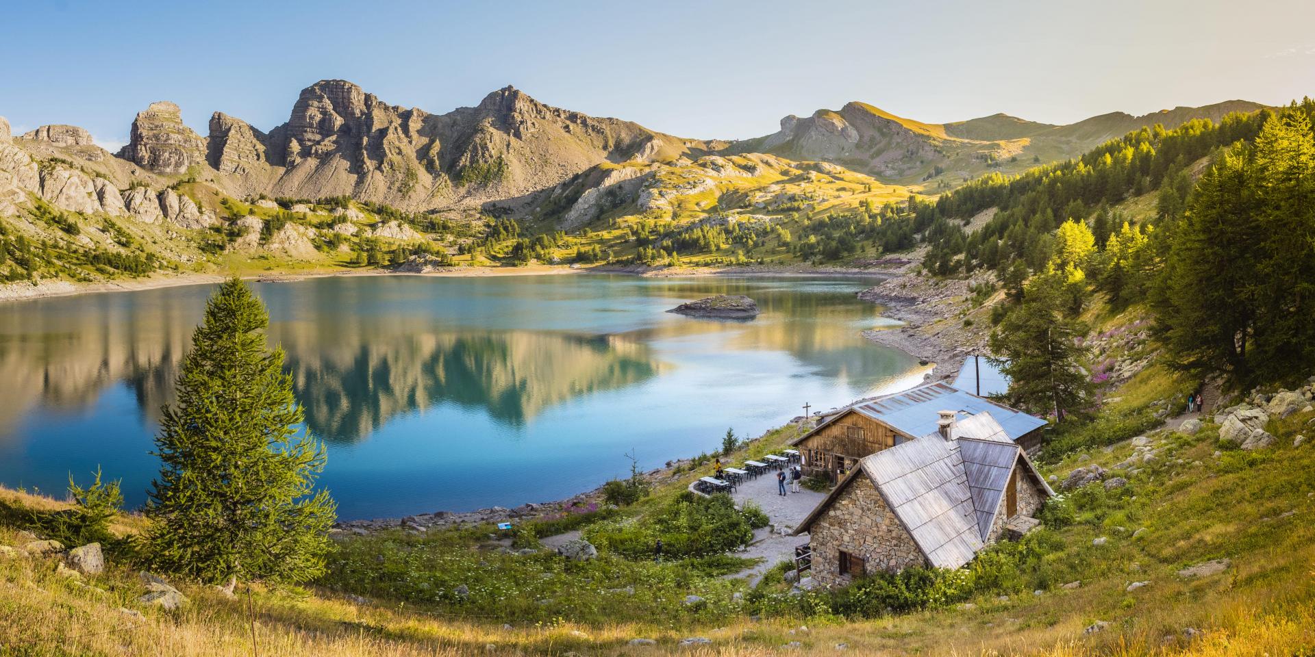
Relatively easy hike with breathtaking views. The trail passes by three lakes which leads to a summit with a lunar backdrop.
Chamois, marmots and eagles can be seen at the summit.

Already more than 200,000 users!
Uphill
606m
Highest point
2678m
Downhill
606m
Lowest point
2108m
Route type
Loop
Download the map on your smartphone to save battery and rest assured to always keep access to the route, even without signal.
Includes IGN France and Swisstopo.
2 ratings
Also enjoy:

Already more than 200,000 users!