Uphill
1022m
France > Provence-Alpes-Côte d'Azur > Alpes-de-Haute-Provence
Length
16km
Duration
7h30min
Elev gain
1022m
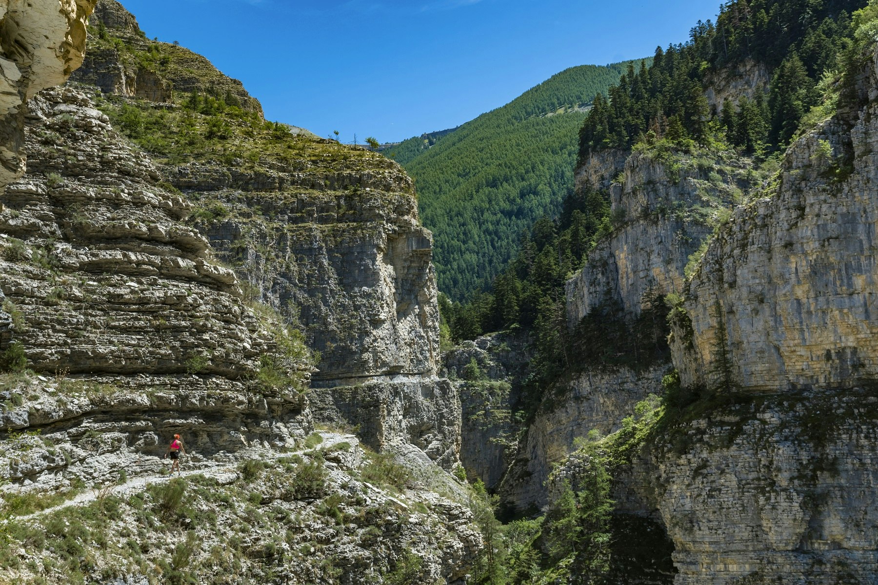
This trail from Villars Heyssier crosses the spectacular gorges of Saint-Pierre, via a path carved into the cliffs. The path then rises to Couguyon.
Please note: this walk is reserved for seasoned hikers, and includes passages that can cause vertigo.

Already more than 200,000 users!
Uphill
1022m
Highest point
2142m
Downhill
1022m
Lowest point
1264m
Route type
Loop
Download the map on your smartphone to save battery and rest assured to always keep access to the route, even without signal.
Includes IGN France and Swisstopo.
I indicate whether dogs are allowed or prohibited on this trail
From May to September
0 ratings
Also enjoy:

Already more than 200,000 users!


