Uphill
417m
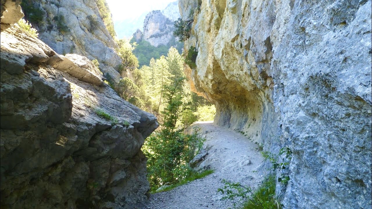
France > Provence-Alpes-Côte d'Azur > Alpes-de-Haute-Provence
Length
9km
Duration
3h30min
Elev gain
417m
Shaded hike in an exceptional setting, as close as possible to the water. Swimming possible.

Already more than 200,000 users!
Uphill
417m
Highest point
899m
Downhill
417m
Lowest point
597m
Route type
Loop
Download the map on your smartphone to save battery and rest assured to always keep access to the route, even without signal.
Includes IGN France and Swisstopo.
2 ratings
Also enjoy:

Already more than 200,000 users!


