Uphill
794m
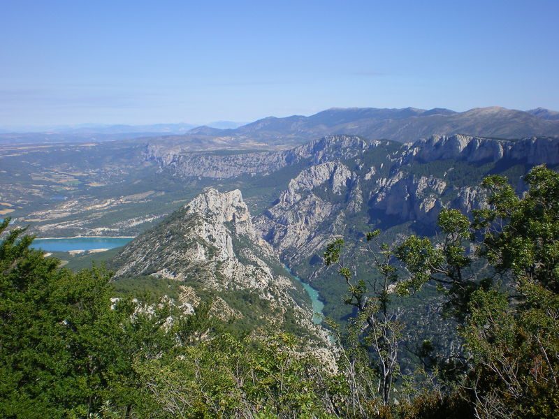
France > Provence-Alpes-Côte d'Azur > Var > Verdon Regional Natural Park
Length
11km
Duration
5h30min
Elev gain
794m
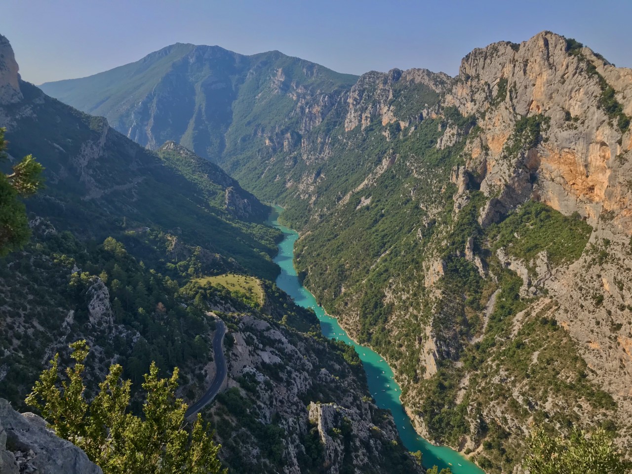
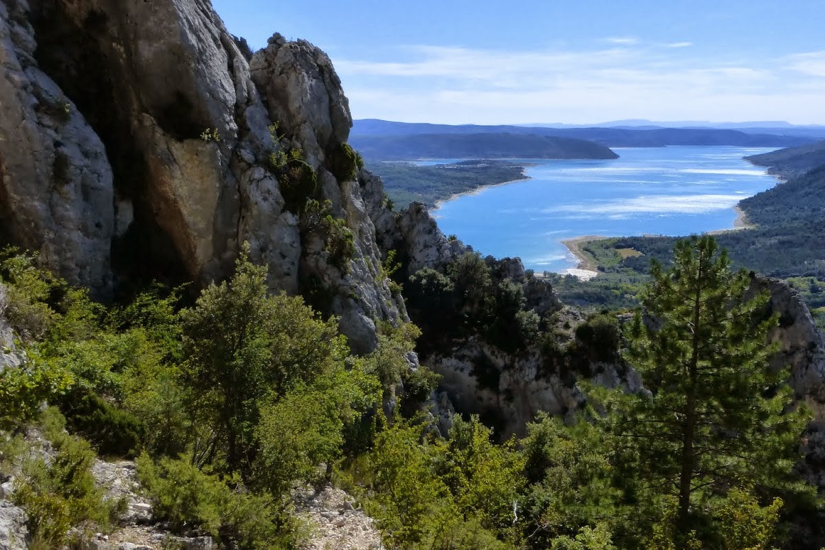
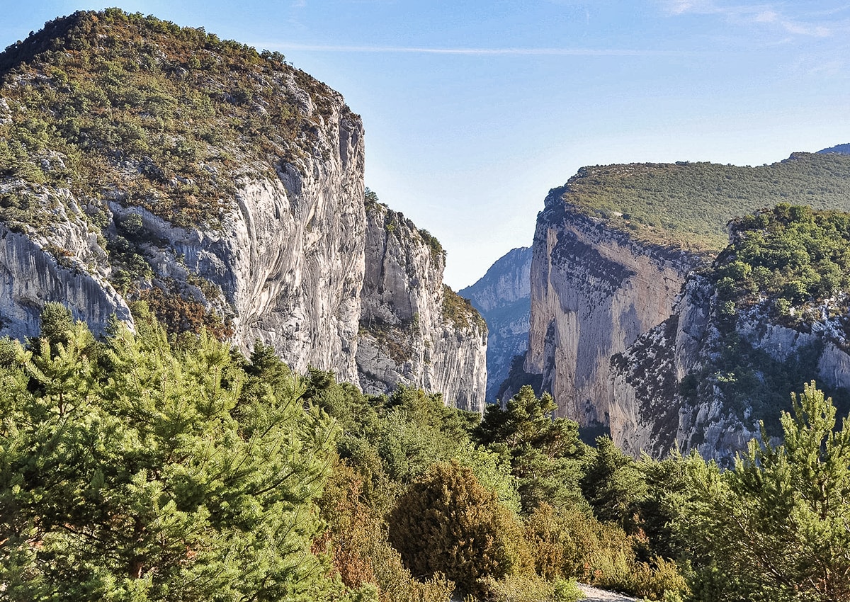
This trail allows you to reach the summit of Grand Margès (1576 m), offering a superb view of Lake Sainte-Croix and the Verdon gorges. Note that the climb is quite difficult.

Already more than 200,000 users!
Uphill
794m
Highest point
1569m
Downhill
794m
Lowest point
788m
Route type
There and back
Download the map on your smartphone to save battery and rest assured to always keep access to the route, even without signal.
Includes IGN France and Swisstopo.
I indicate whether dogs are allowed or prohibited on this trail
Can be difficult in Winter
1 rating
Also enjoy:

Already more than 200,000 users!