Uphill
833m
France > Provence-Alpes-Côte d'Azur > Alpes-de-Haute-Provence > Verdon Regional Natural Park
Length
9km
Duration
5h30min
Elev gain
833m
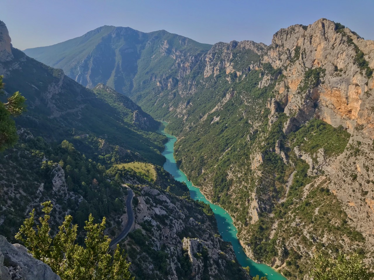
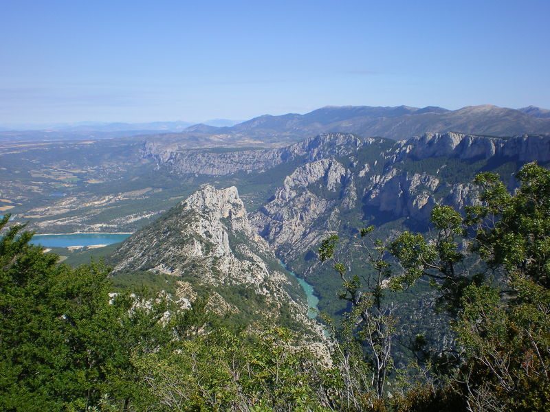
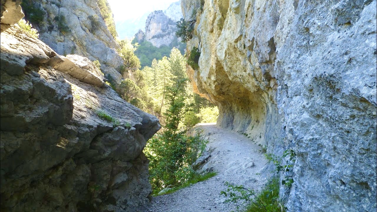
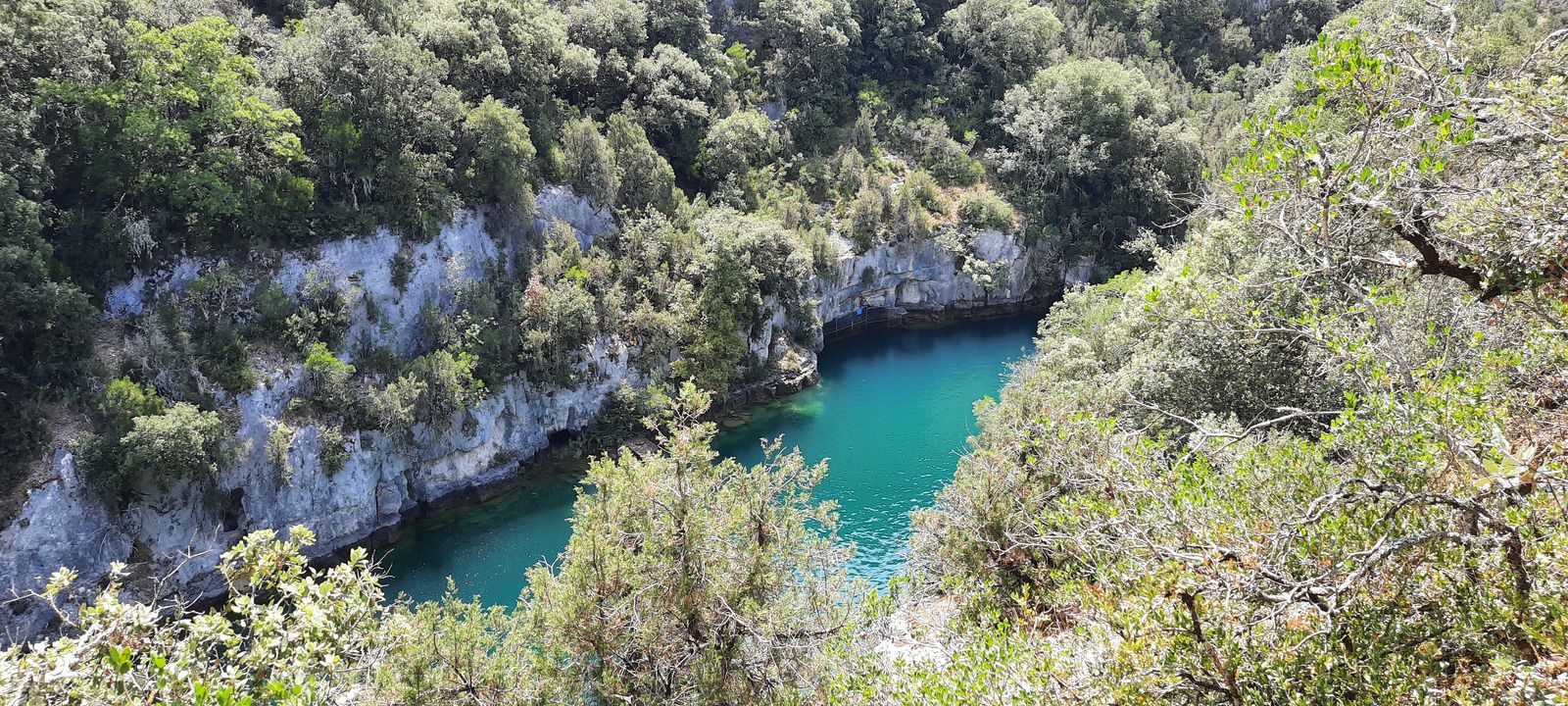
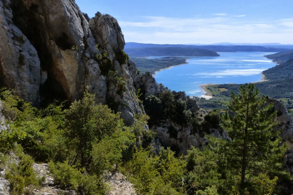
This path varies between undergrowth, rocks and ridges before reaching the Col de l'Âne. Magnificent views of Lake Sainte-Croix.

Already more than 200,000 users!
Uphill
833m
Highest point
1210m
Downhill
833m
Lowest point
533m
Route type
There and back
Download the map on your smartphone to save battery and rest assured to always keep access to the route, even without signal.
Includes IGN France and Swisstopo.
I indicate whether dogs are allowed or prohibited on this trail
Can be difficult in Winter
0 ratings
Also enjoy:

Already more than 200,000 users!