Uphill
865m
France > Provence-Alpes-Côte d'Azur > Alpes-de-Haute-Provence > Verdon Regional Natural Park
Length
13km
Duration
6h
Elev gain
865m
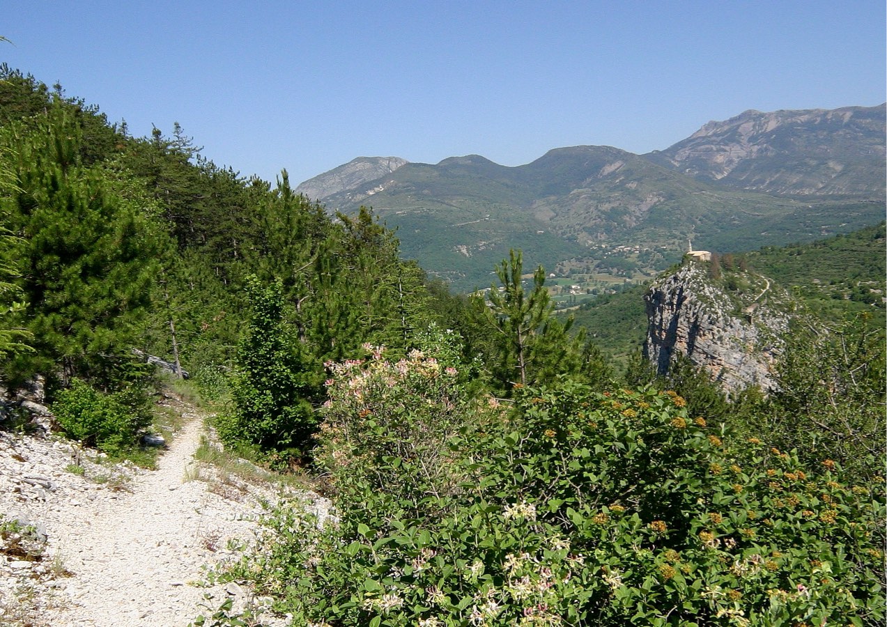
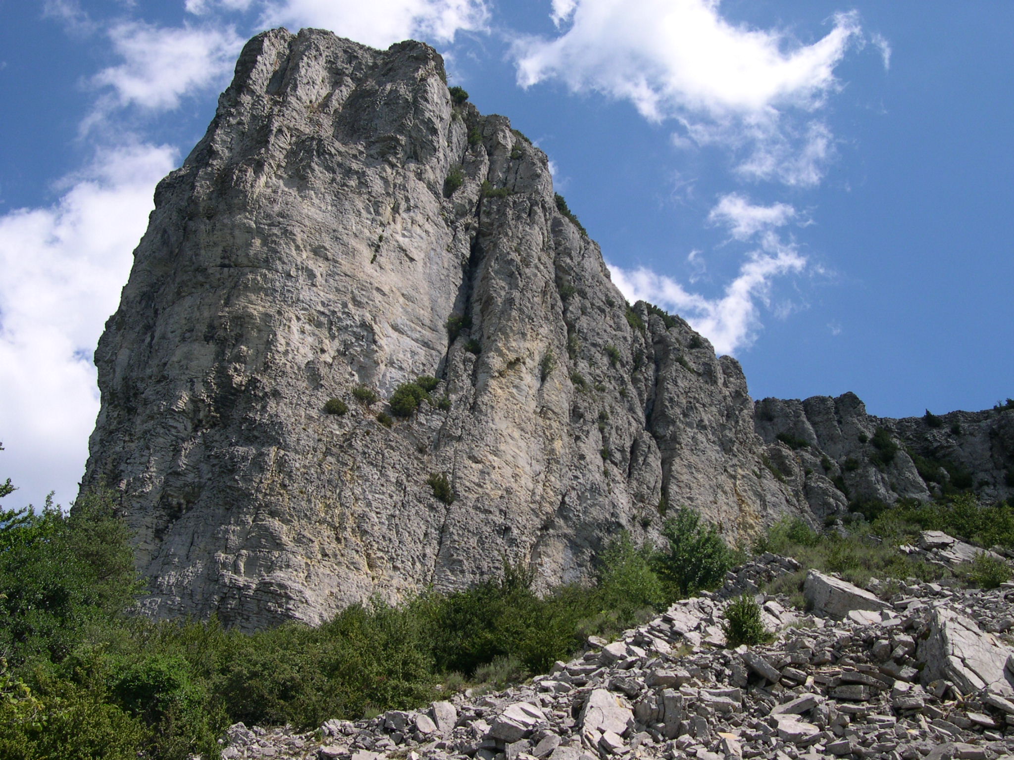
From Méouilles, this path leads to Serre Gros (1,778 m). The trail successively crosses a few fields, a small crest, then winds through dense forest to the summit.

Already more than 200,000 users!
Uphill
865m
Highest point
1753m
Downhill
865m
Lowest point
890m
Route type
There and back
Download the map on your smartphone to save battery and rest assured to always keep access to the route, even without signal.
Includes IGN France and Swisstopo.
I indicate whether dogs are allowed or prohibited on this trail
From May to October
0 ratings
Also enjoy:

Already more than 200,000 users!