Uphill
795m
France > Provence-Alpes-Côte d'Azur > Alpes-de-Haute-Provence > Verdon Regional Natural Park
Length
12km
Duration
6h
Elev gain
795m
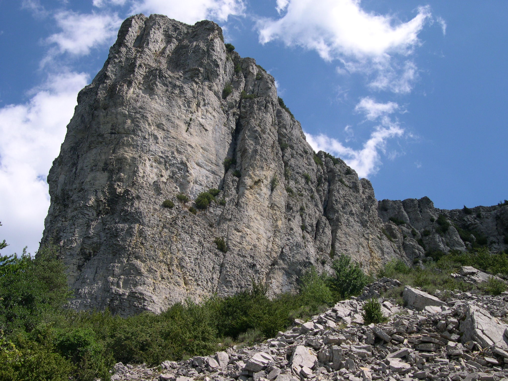
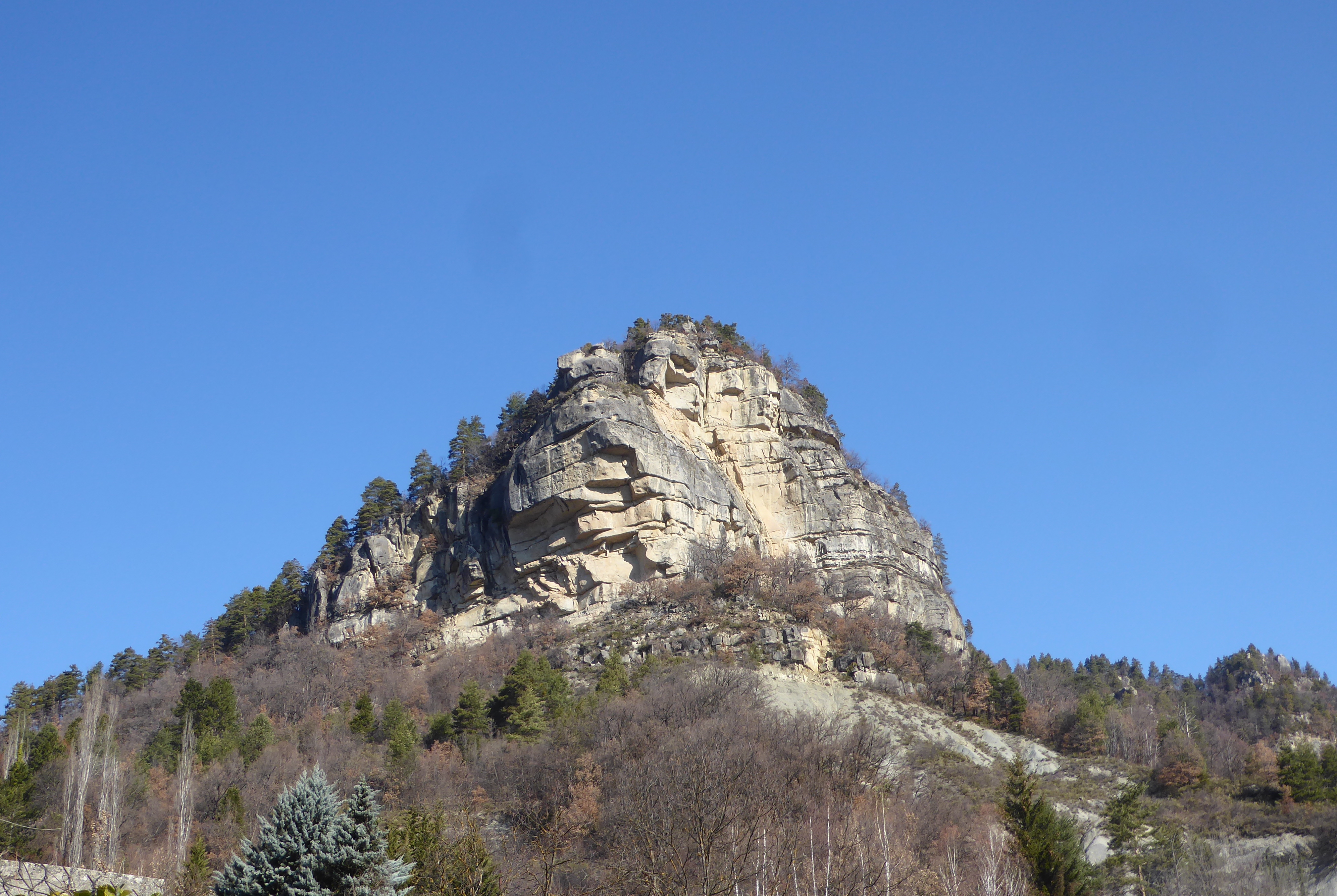
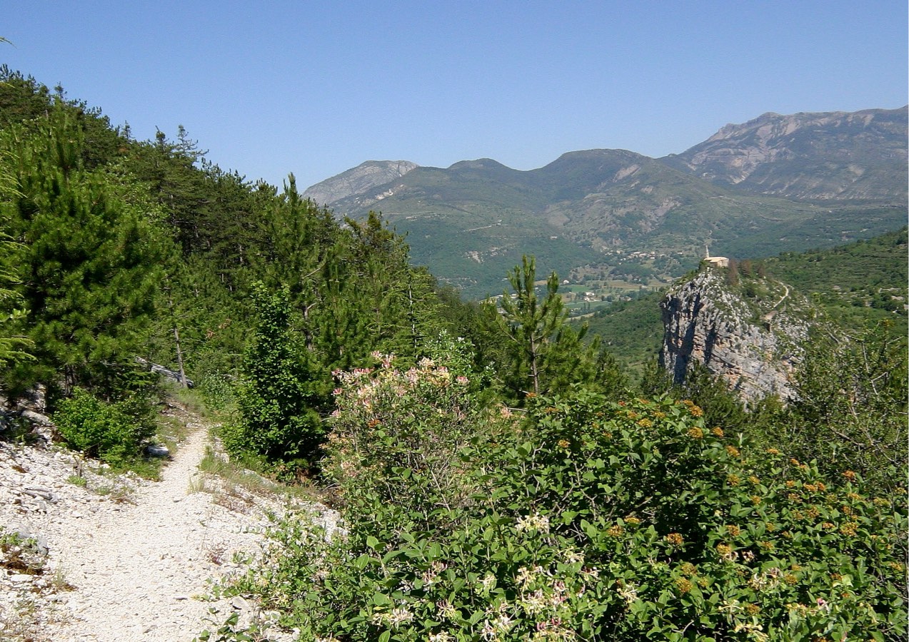
Departing from Castellane, this is a round trip trail taking place mainly in the forest. The summit of Destourbes offers a magnificent panorama over Lake Chaudanne.

Already more than 200,000 users!
Uphill
795m
Highest point
1547m
Downhill
795m
Lowest point
734m
Route type
There and back
Download the map on your smartphone to save battery and rest assured to always keep access to the route, even without signal.
Includes IGN France and Swisstopo.
I indicate whether dogs are allowed or prohibited on this trail
Can be difficult in Winter
0 ratings
Also enjoy:

Already more than 200,000 users!