Uphill
267m
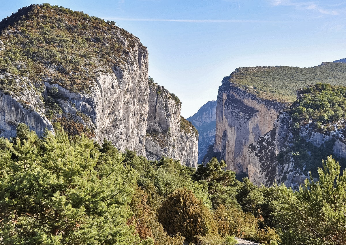
France > Provence-Alpes-Côte d'Azur > Var > Verdon Regional Natural Park
Length
8km
Duration
3h
Elev gain
267m
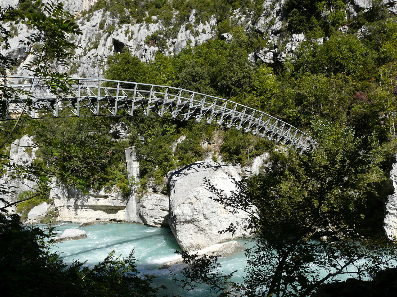
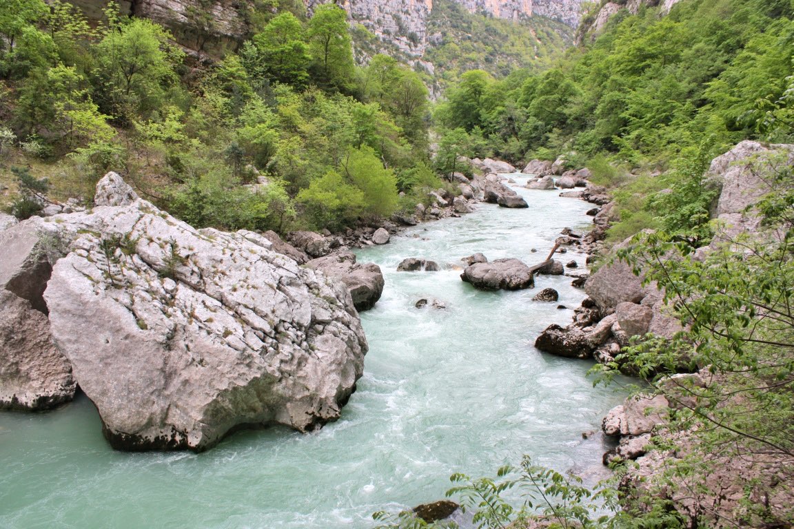
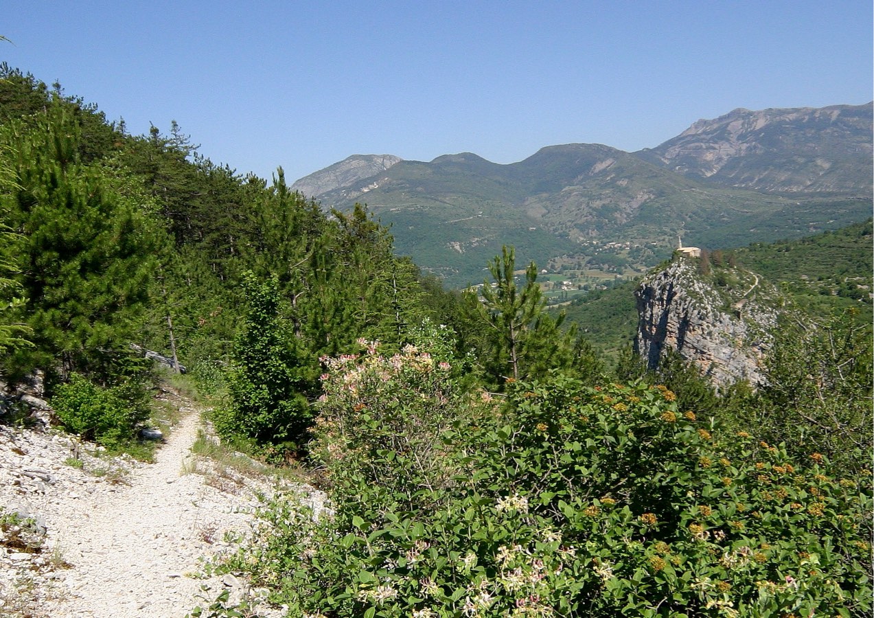
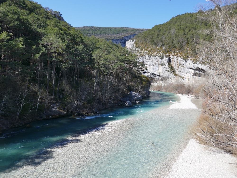
Walk from Trigance to the Carajuan bridge on a trail overlooking the Jabron, a tributary of the Verdon.

Already more than 200,000 users!
Uphill
267m
Highest point
815m
Downhill
267m
Lowest point
631m
Route type
There and back
Download the map on your smartphone to save battery and rest assured to always keep access to the route, even without signal.
Includes IGN France and Swisstopo.
I indicate whether dogs are allowed or prohibited on this trail
All year
0 ratings
Also enjoy:

Already more than 200,000 users!