Uphill
607m
France > Provence-Alpes-Côte d'Azur > Var > Verdon Regional Natural Park
Length
9km
Duration
4h30min
Elev gain
607m
⛔️ Trail prohibited in 2023. Ask the town hall about the reopening.
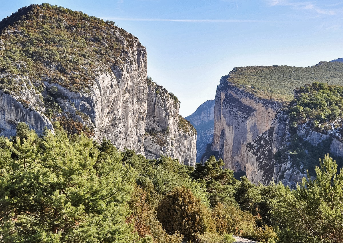
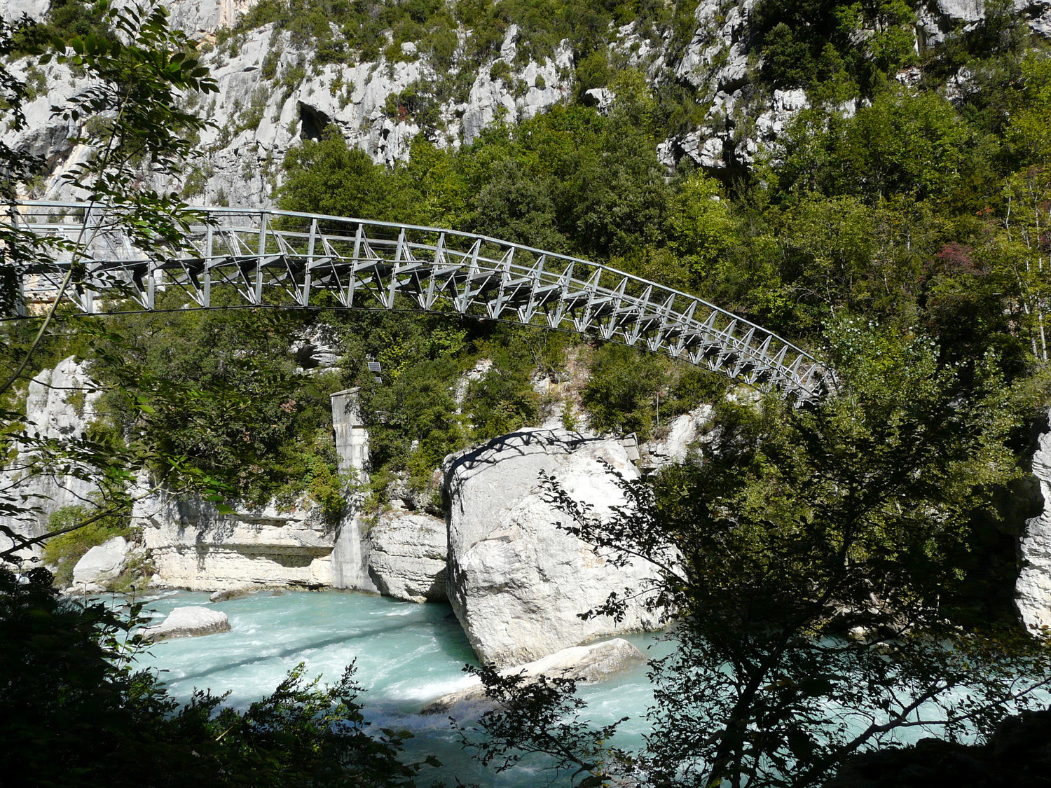
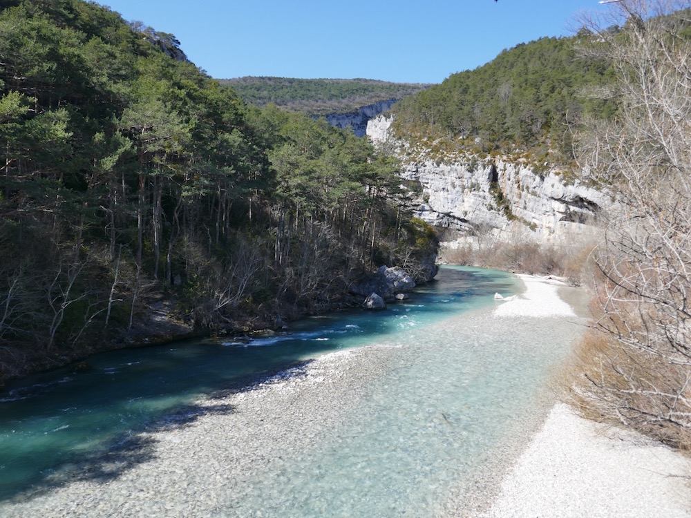
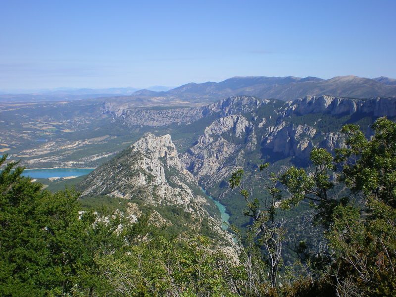
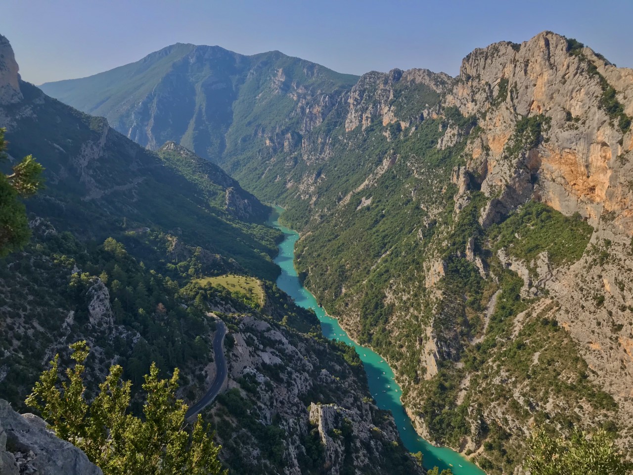
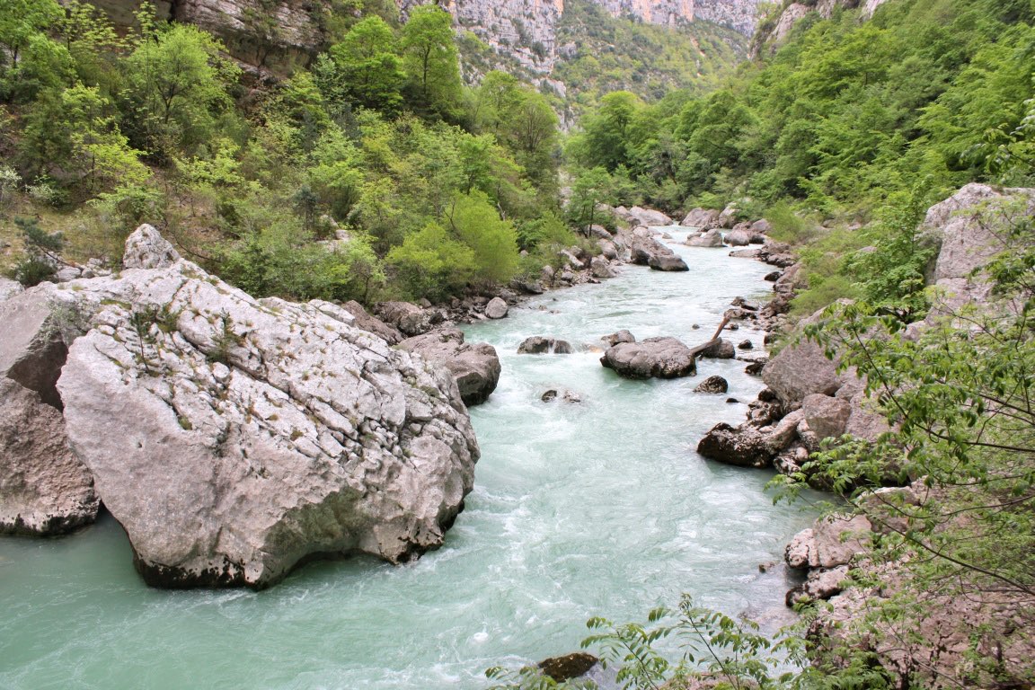
Here is one of the most beautiful paths in the Gorges du Verdon, offering a great diversity of landscapes between woods, rivers and cliffs. It is also quite sporty, with blocks and aerial passages.

Already more than 200,000 users!
Uphill
607m
Highest point
952m
Downhill
607m
Lowest point
567m
Route type
Loop
Download the map on your smartphone to save battery and rest assured to always keep access to the route, even without signal.
Includes IGN France and Swisstopo.
I indicate whether dogs are allowed or prohibited on this trail
All year
3 ratings
Also enjoy:

Already more than 200,000 users!