Uphill
453m

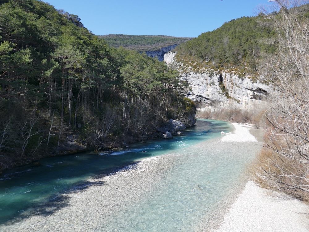
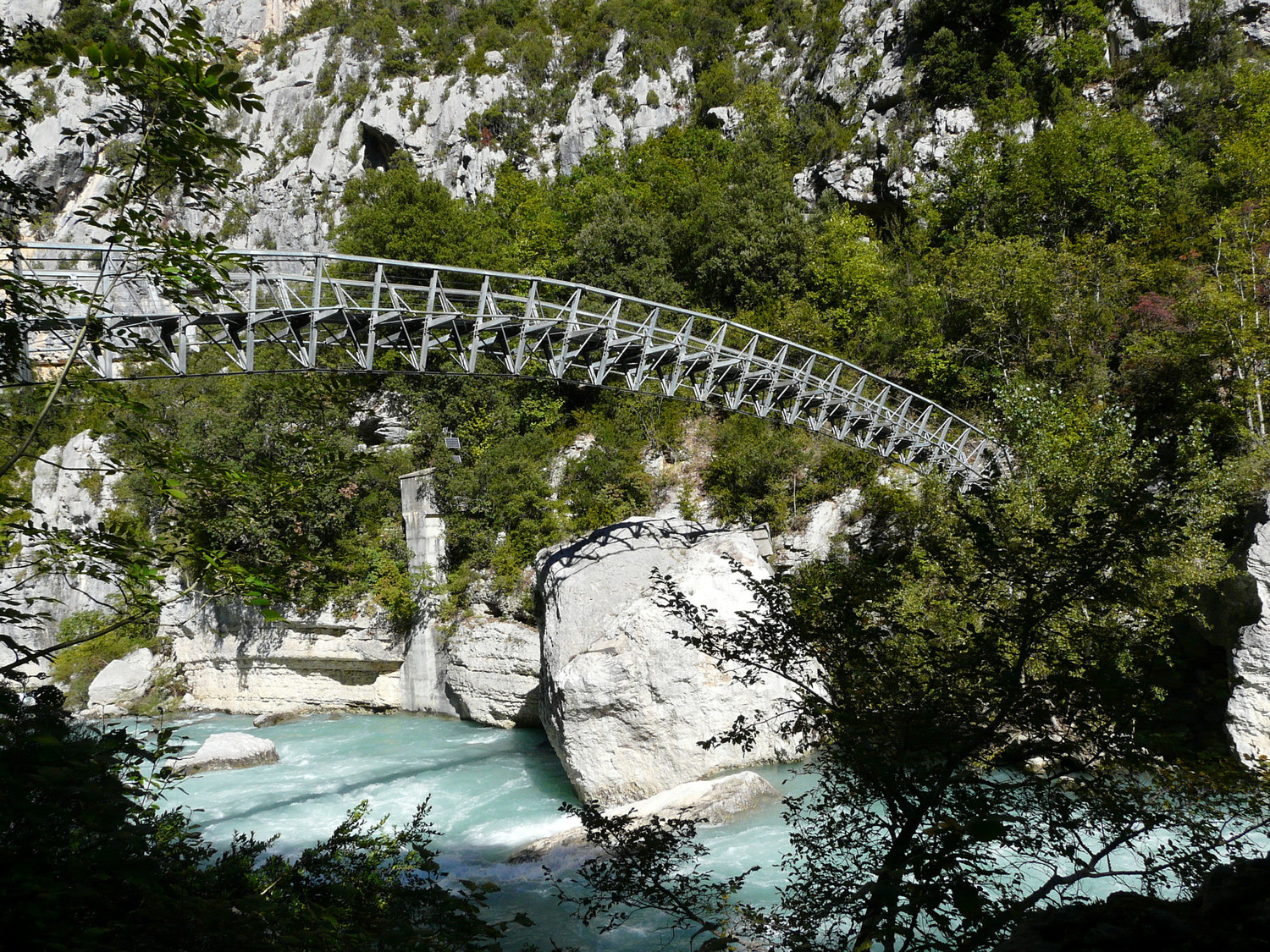
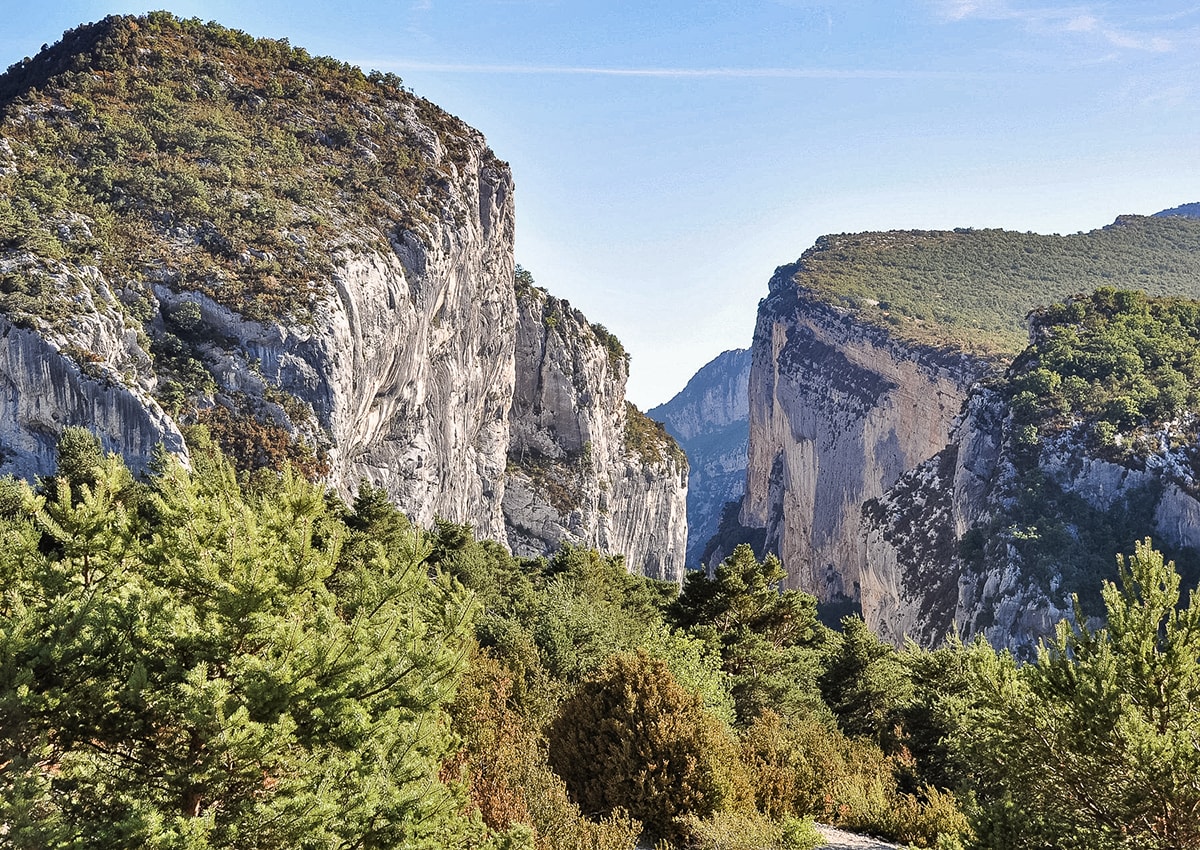
France > Provence-Alpes-Côte d'Azur > Alpes-de-Haute-Provence > Verdon Regional Natural Park
Length
8km
Duration
3h30min
Elev gain
453m
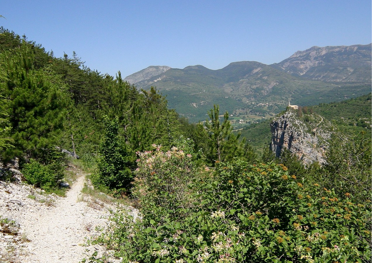
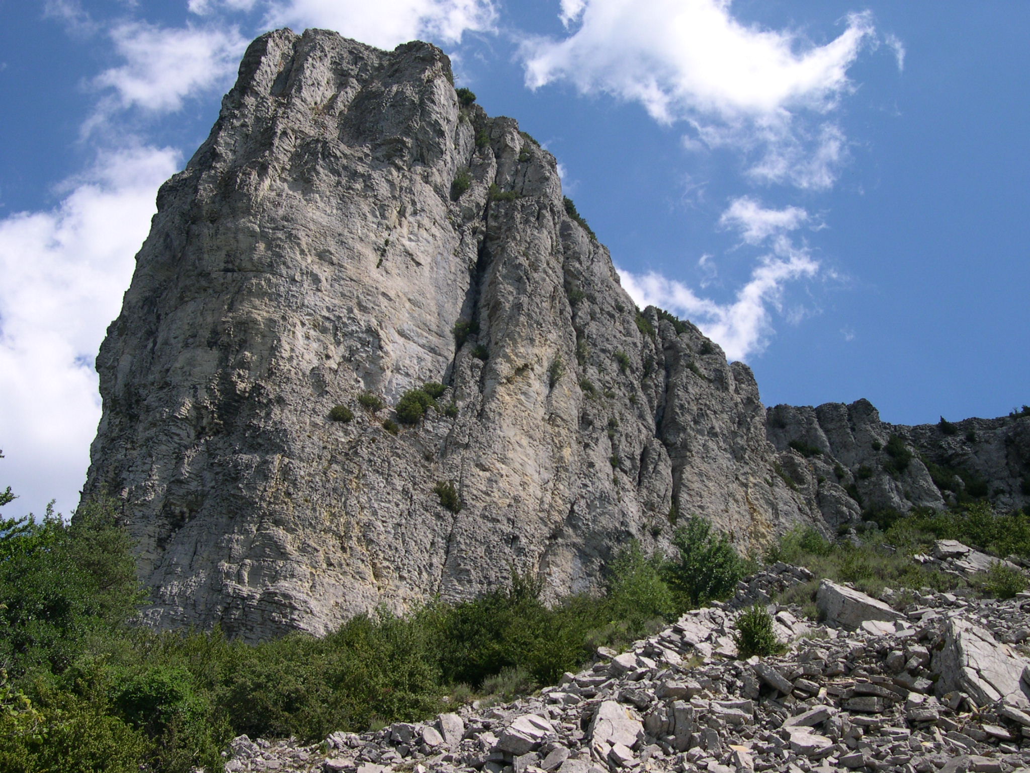
Short loop to discover an original dolomitic rock formation.

Already more than 200,000 users!
Uphill
453m
Highest point
1557m
Downhill
453m
Lowest point
1137m
Route type
Loop
Download the map on your smartphone to save battery and rest assured to always keep access to the route, even without signal.
Includes IGN France and Swisstopo.
I indicate whether dogs are allowed or prohibited on this trail
Can be difficult in Winter
3 ratings
Le haut est bien mais la 1er heure de monter est inintéressante
Difficile d'accès
Also enjoy:

Already more than 200,000 users!