Uphill
557m
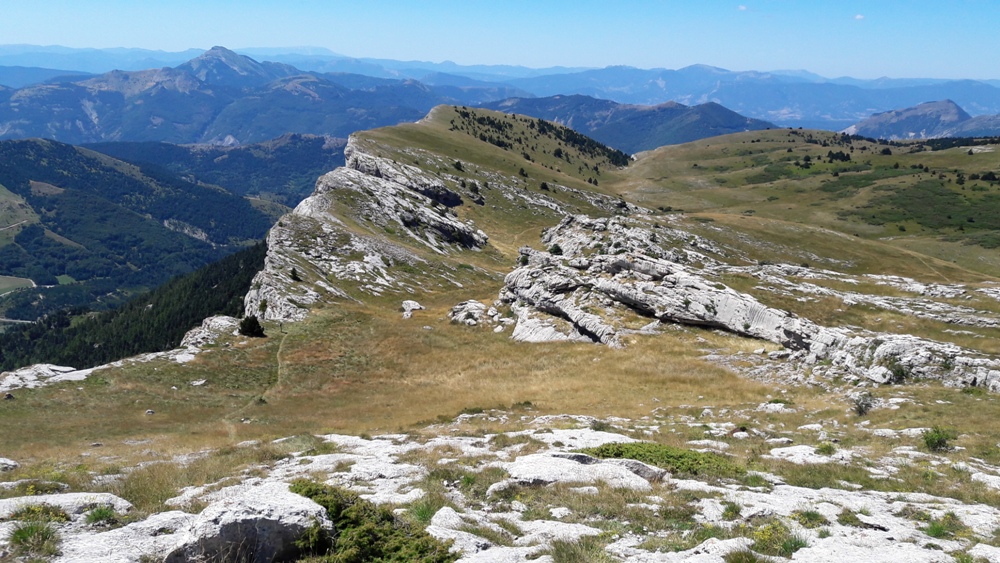
France > Provence-Alpes-Côte d'Azur > Hautes-Alpes > Baronnies Provençales Regional Natural Park
Length
13km
Duration
4h30min
Elev gain
557m
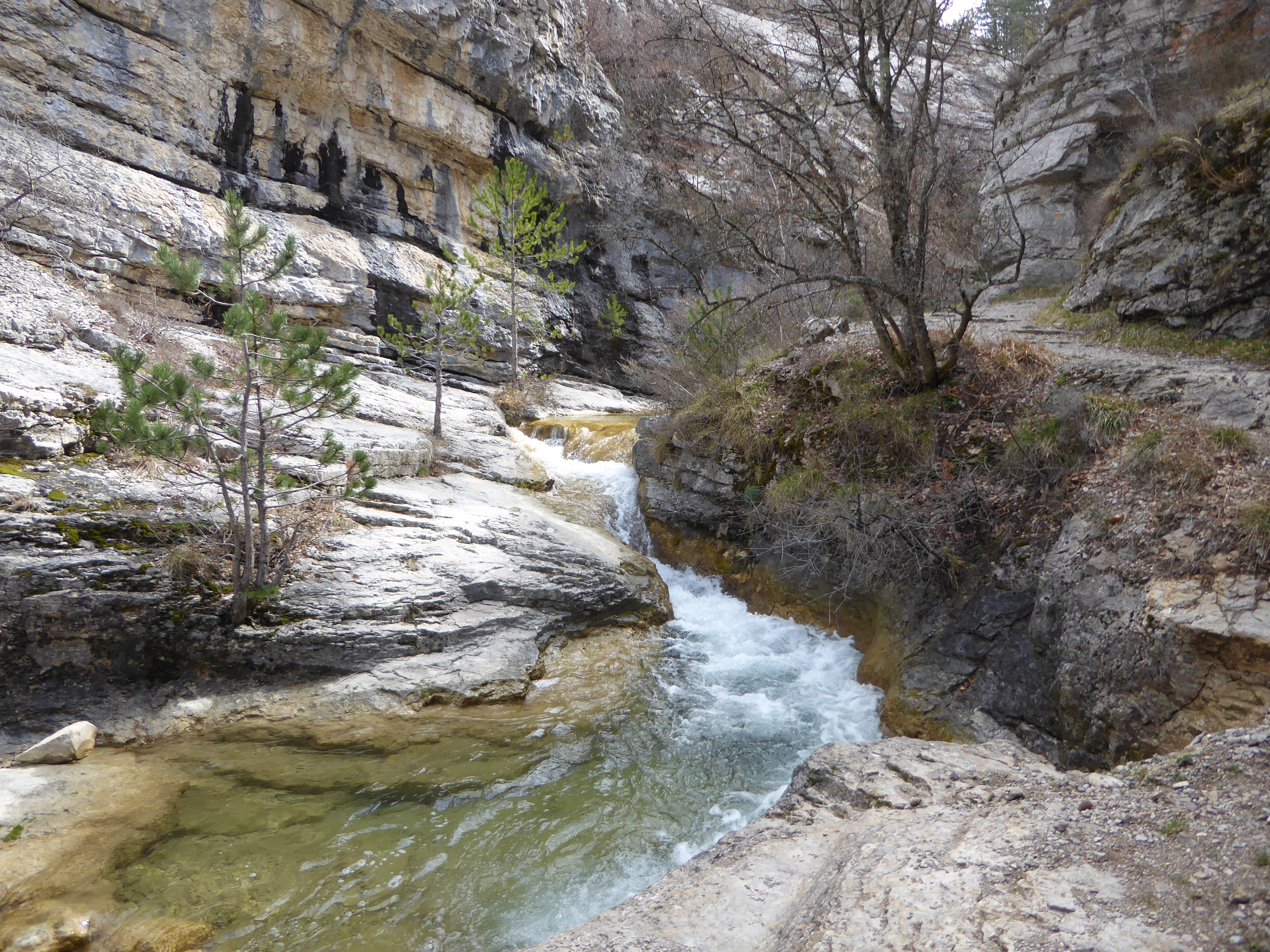
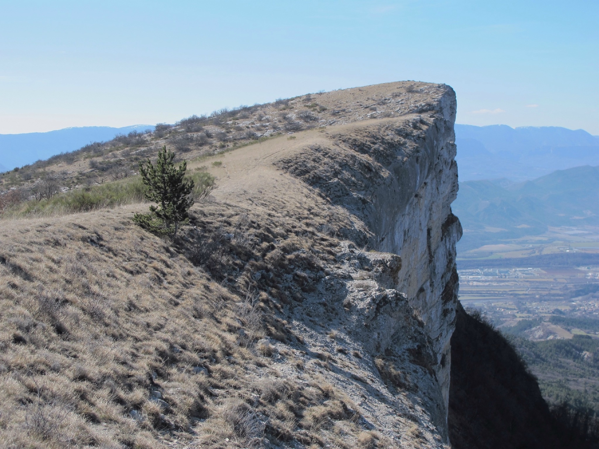
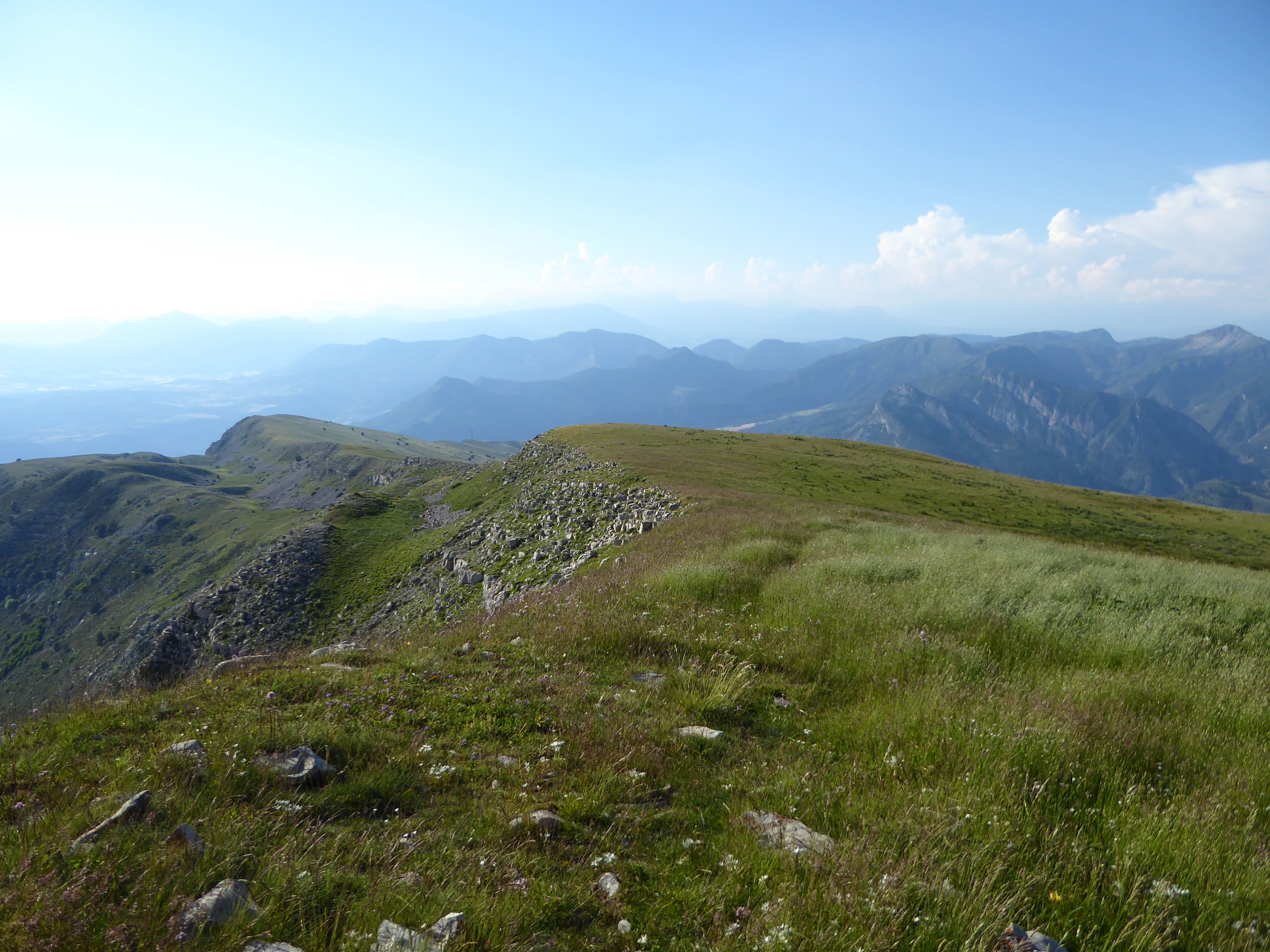
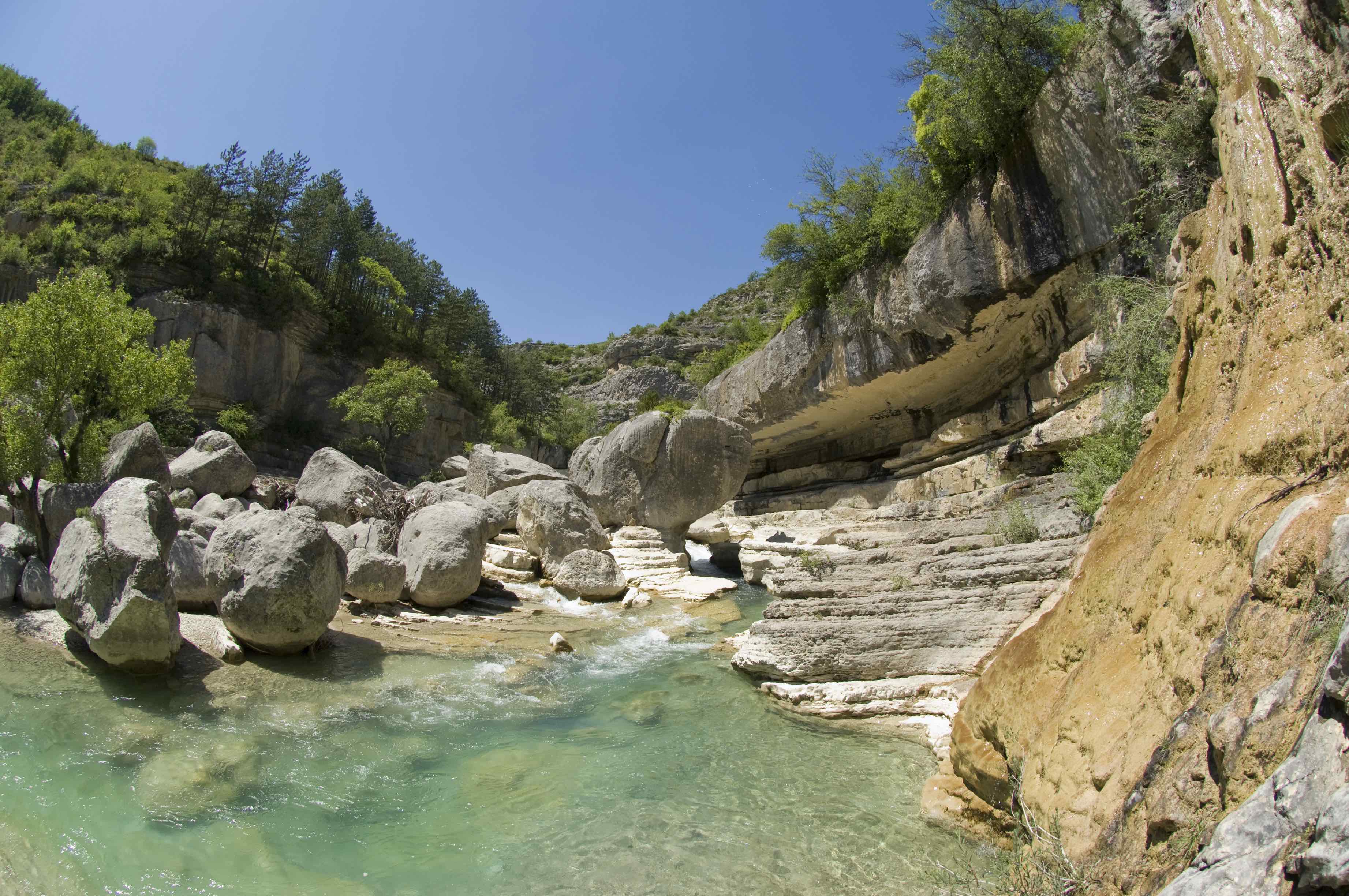
This is a trail in protected gorges, surrounded by beautiful Mediterranean vegetation. This is an ideal walk for a swim.
Note however that the last three kilometers are on a road.

Already more than 200,000 users!
Uphill
557m
Highest point
779m
Downhill
557m
Lowest point
564m
Route type
Loop
Download the map on your smartphone to save battery and rest assured to always keep access to the route, even without signal.
Includes IGN France and Swisstopo.
I indicate whether dogs are allowed or prohibited on this trail
All year
1 rating
Also enjoy:

Already more than 200,000 users!