Uphill
340m
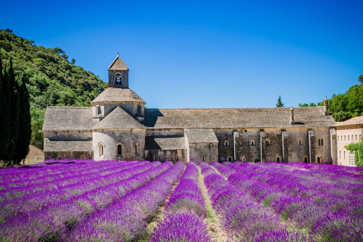
France > Provence-Alpes-Côte d'Azur > Vaucluse > Luberon Regional Natural Park
Length
13km
Duration
4h
Elev gain
340m
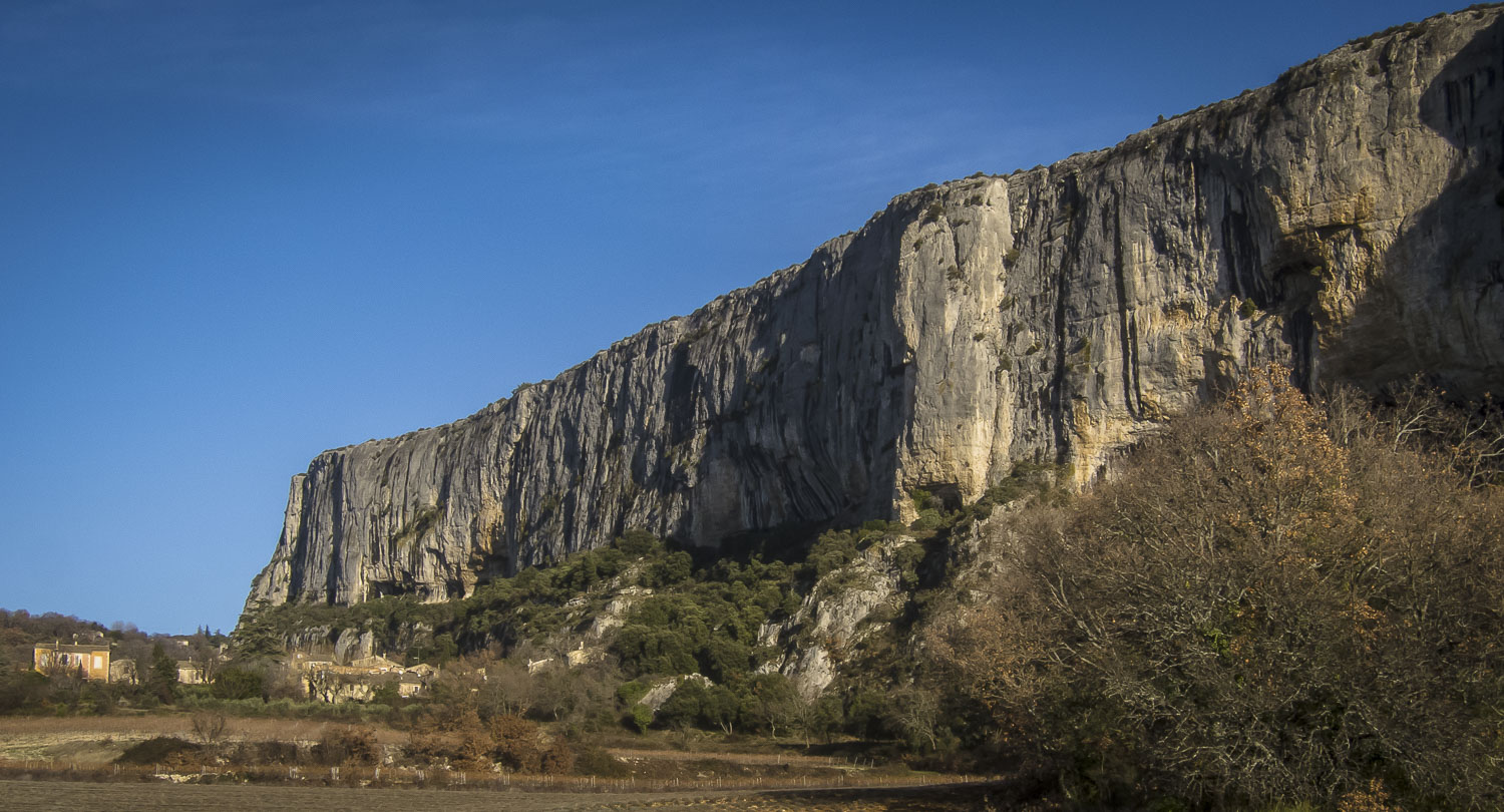
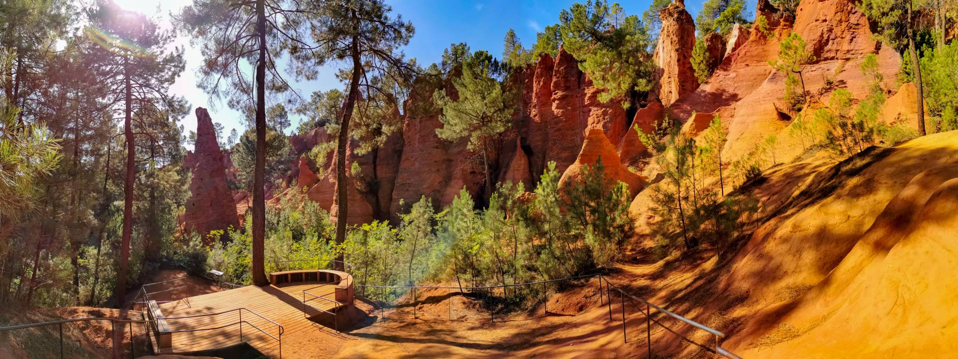
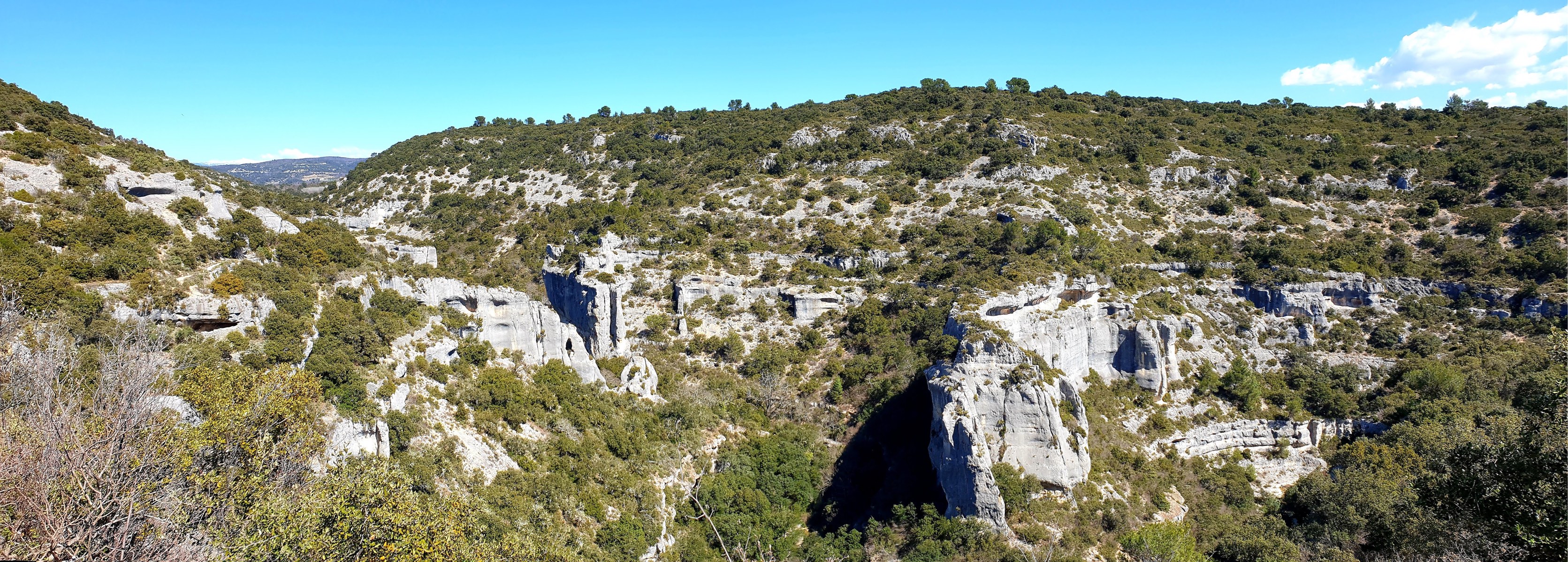
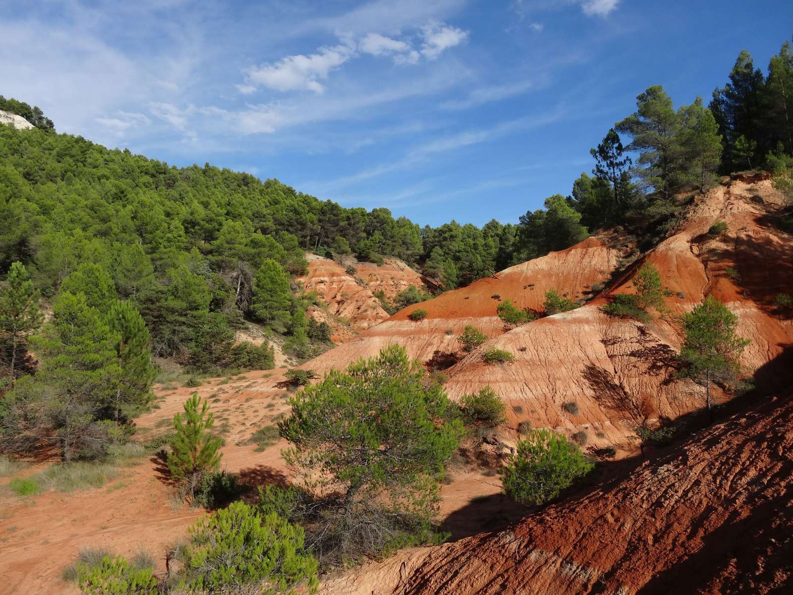
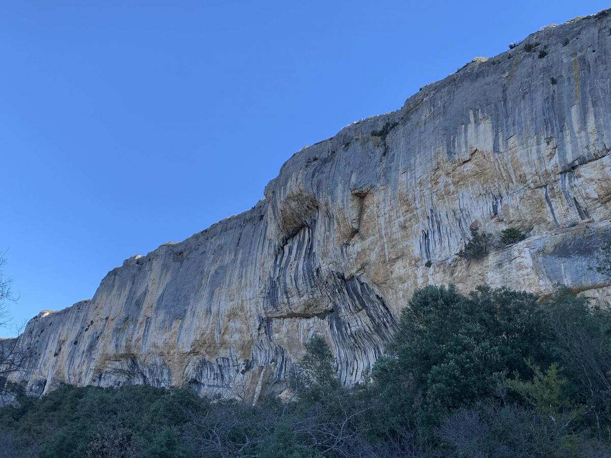
Departing from Lioux, at the foot of the Madeleine cliff, this hike offers varied landscapes: rocks, limestone gorges, ponds.
Note that some passages are technical: narrow gorges, ladders, ropes, and stony ground.

Already more than 200,000 users!
Uphill
340m
Highest point
582m
Downhill
340m
Lowest point
269m
Route type
Loop
Download the map on your smartphone to save battery and rest assured to always keep access to the route, even without signal.
Includes IGN France and Swisstopo.
I indicate whether dogs are allowed or prohibited on this trail
All year
1 rating
Also enjoy:

Already more than 200,000 users!