Uphill
194m
France > Provence-Alpes-Côte d'Azur > Vaucluse > Luberon Regional Natural Park
Length
4km
Duration
1h30min
Elev gain
194m
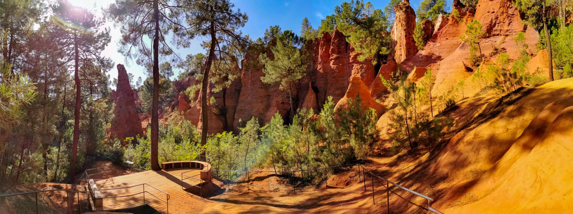
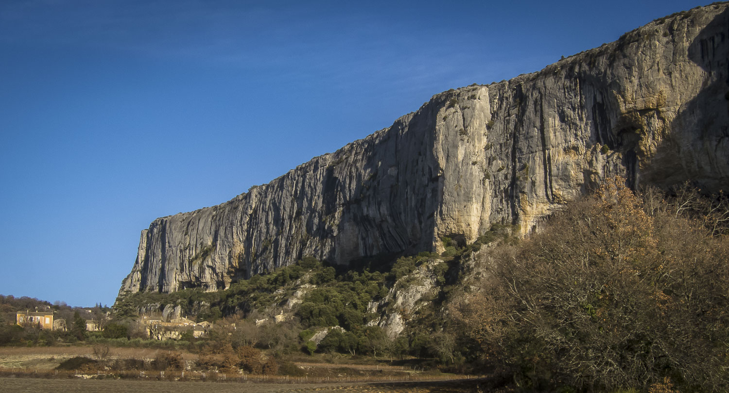
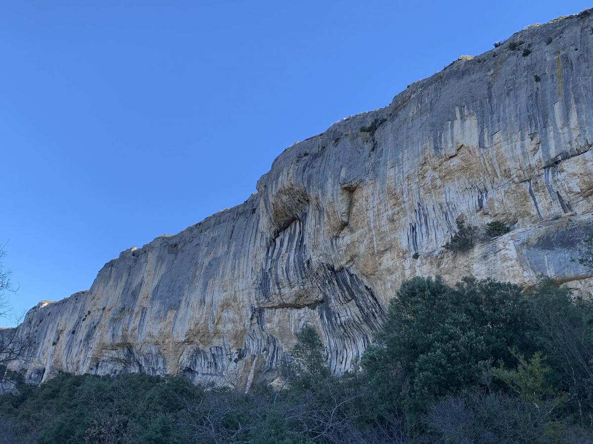
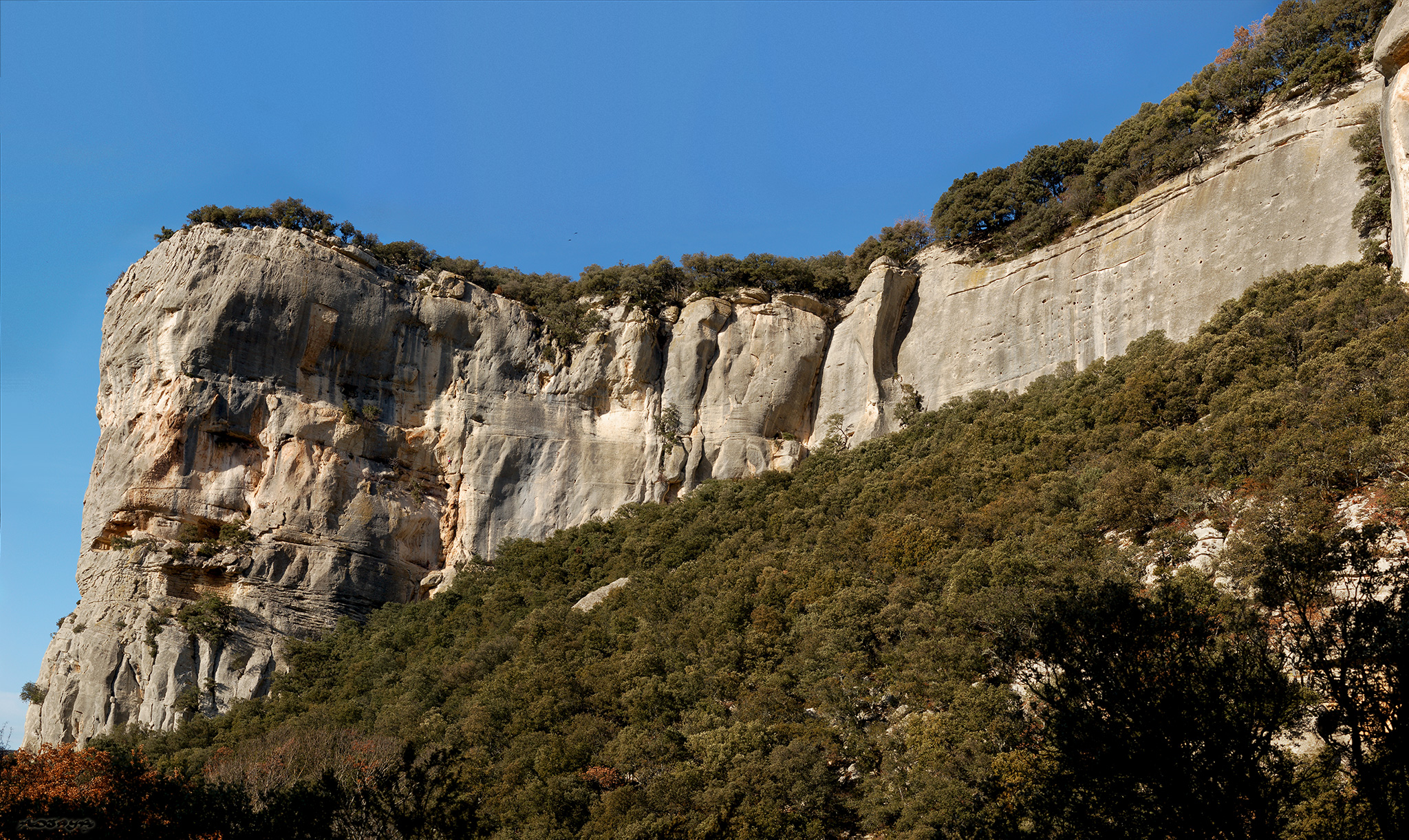
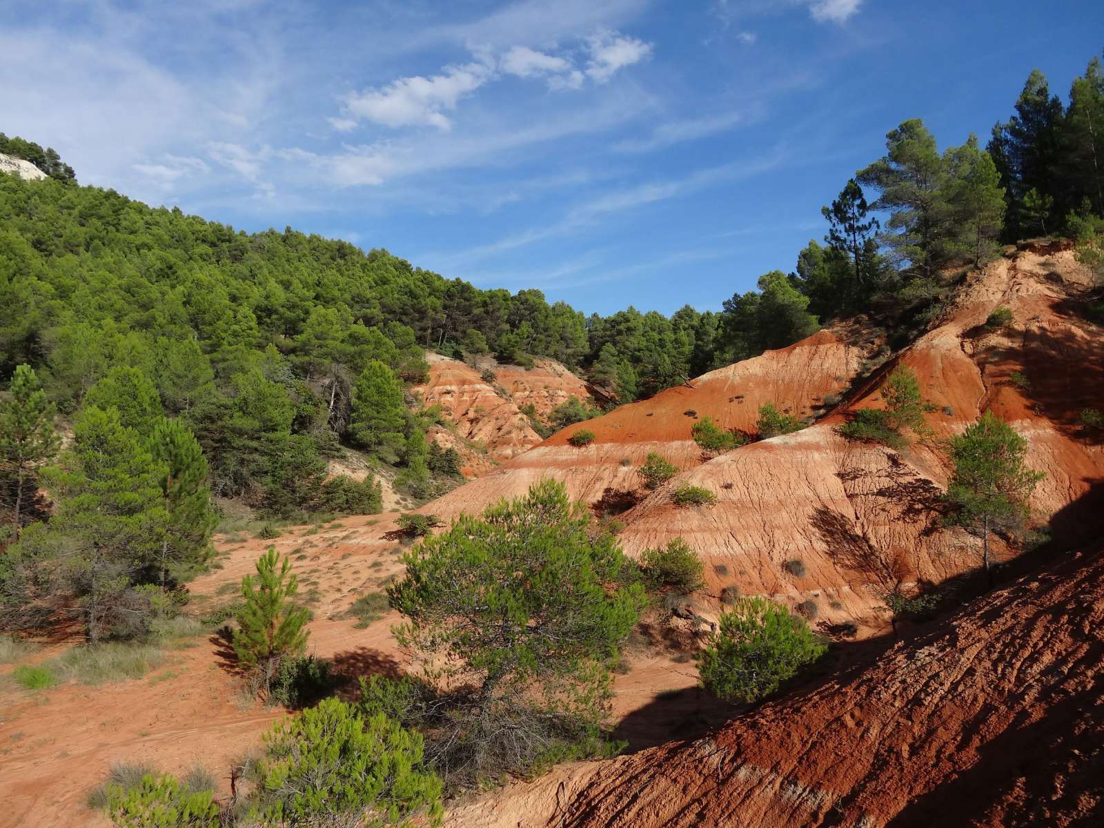
Departing from the ocher village of Gargas, here is a loop trail on Perréal hill (471 m). A pleasant walk due to the color of the ground, the vegetation and some viewpoints.

Already more than 200,000 users!
Uphill
194m
Highest point
475m
Downhill
194m
Lowest point
298m
Route type
Loop
Download the map on your smartphone to save battery and rest assured to always keep access to the route, even without signal.
Includes IGN France and Swisstopo.
I indicate whether dogs are allowed or prohibited on this trail
All year
4 ratings
Also enjoy:

Already more than 200,000 users!