Uphill
589m
France > Provence-Alpes-Côte d'Azur > Vaucluse > Luberon Regional Natural Park
Length
13km
Duration
5h
Elev gain
589m
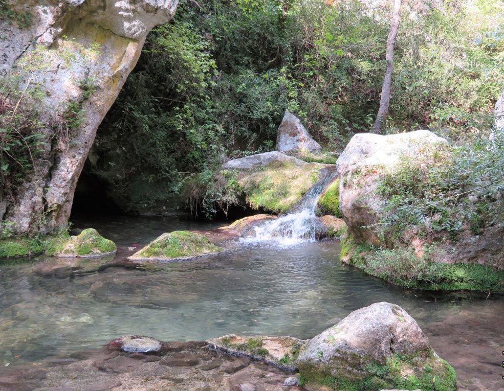
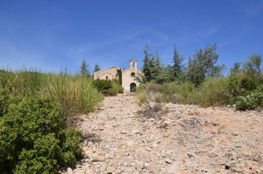
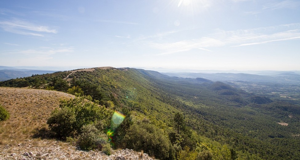
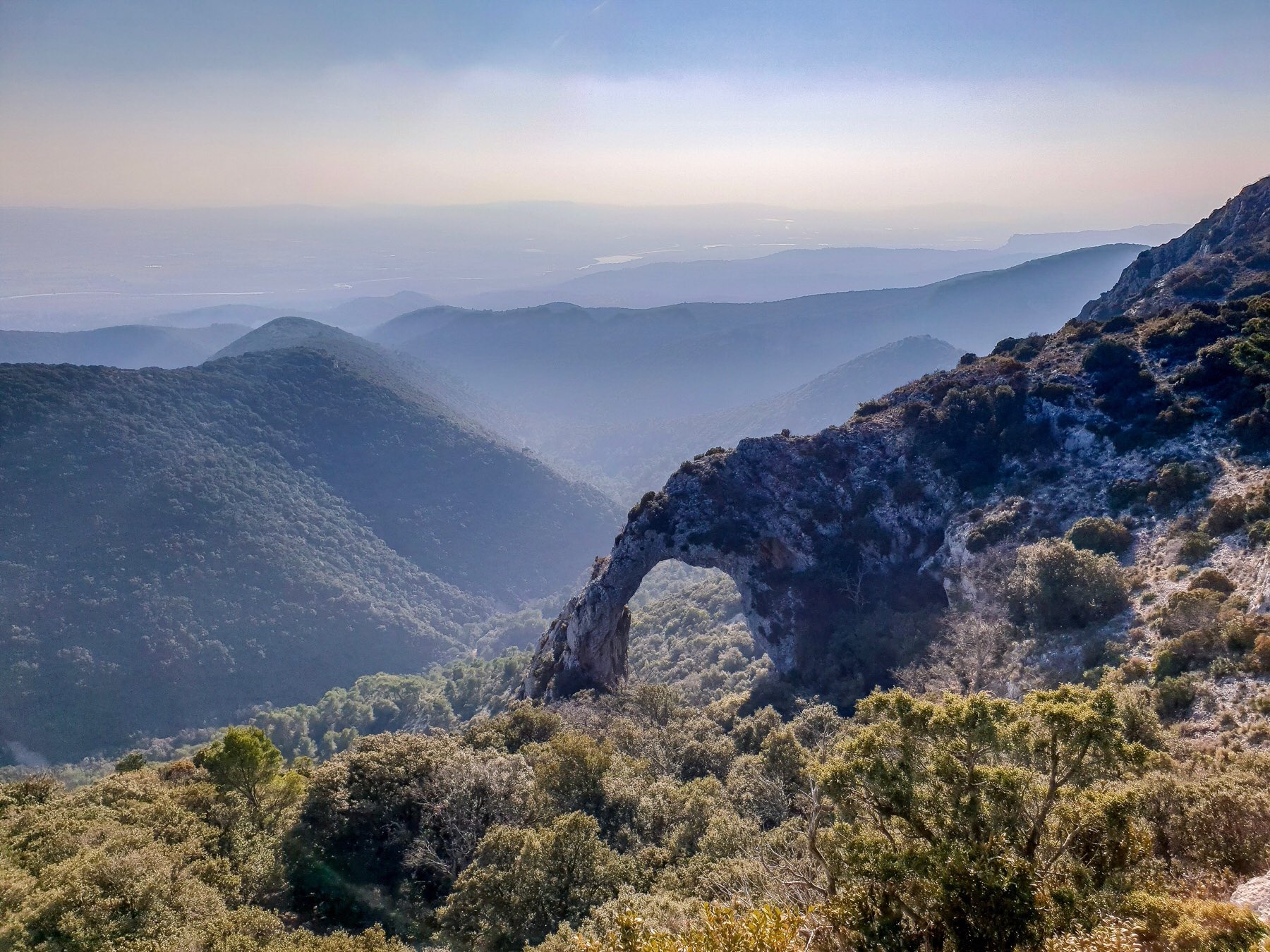
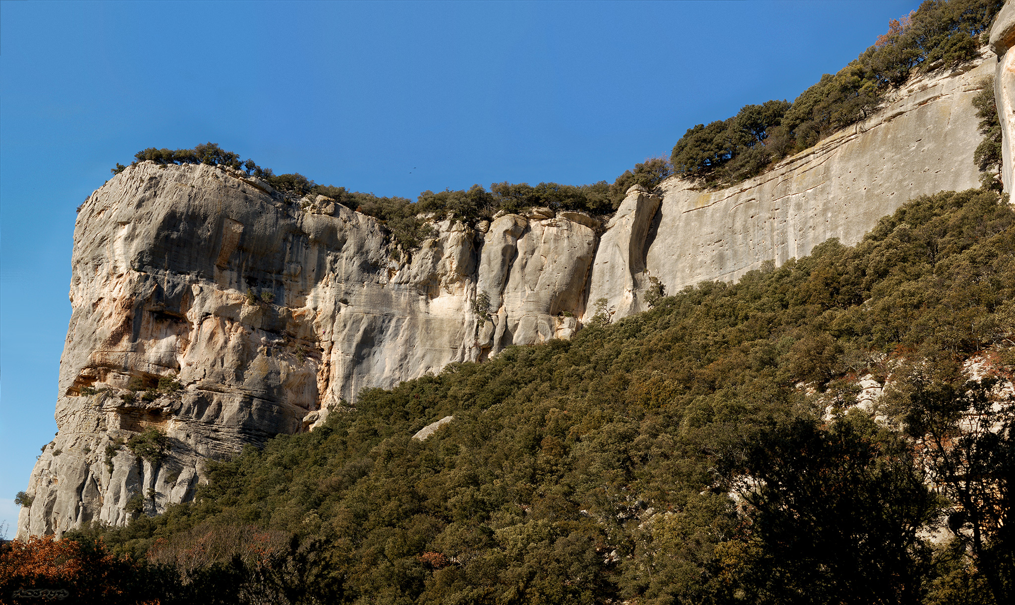
It is very close to Fort de Buoux that this hike begins. After a climb to the medieval fort, the trail continues through the undergrowth and then offers a 360° view of the surroundings. It then crosses the village of Sivergues and reaches the starting point by the banks of the Aiguebrun.

Already more than 200,000 users!
Uphill
589m
Highest point
898m
Downhill
589m
Lowest point
393m
Route type
Loop
Download the map on your smartphone to save battery and rest assured to always keep access to the route, even without signal.
Includes IGN France and Swisstopo.
I indicate whether dogs are allowed or prohibited on this trail
All year
0 ratings
Also enjoy:

Already more than 200,000 users!