Uphill
592m
Length
10km
Duration
4h30min
Elev gain
592m
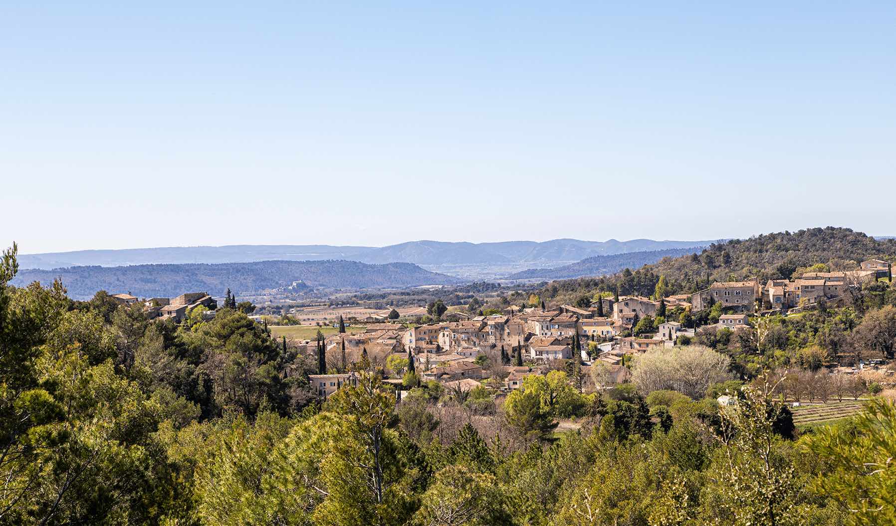
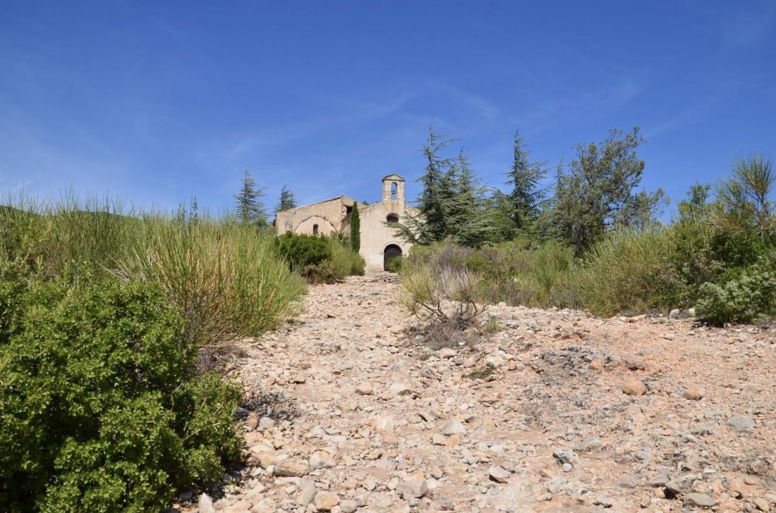
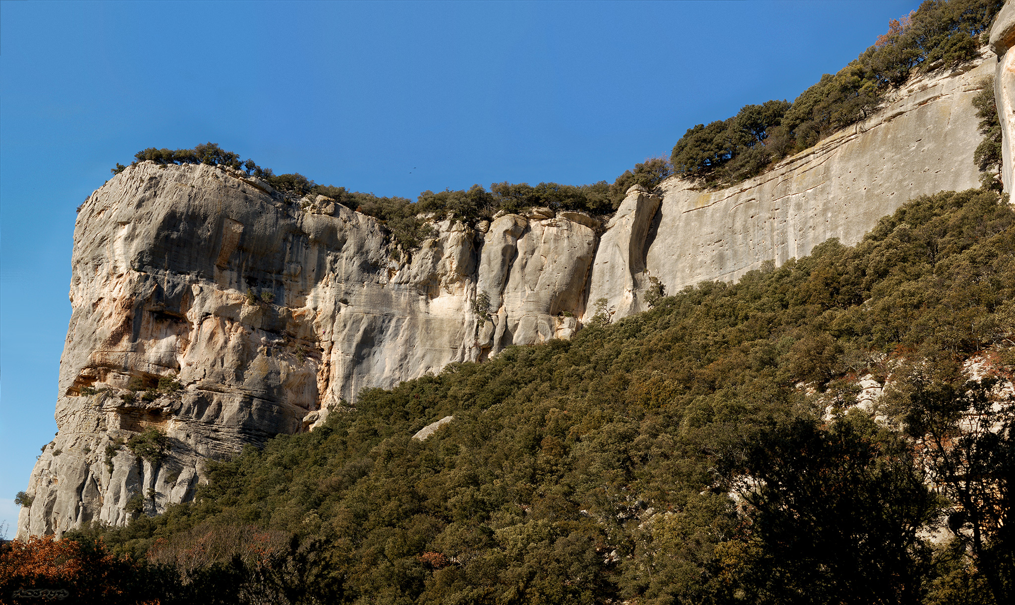
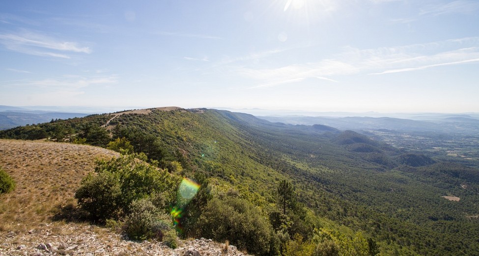
Departing from Auribeau, this hike takes you to the highest point of the Luberon massif (1125 m). Nice panorama on arrival.

Already more than 200,000 users!
Uphill
592m
Highest point
1123m
Downhill
592m
Lowest point
589m
Route type
Loop
Download the map on your smartphone to save battery and rest assured to always keep access to the route, even without signal.
Includes IGN France and Swisstopo.
I indicate whether dogs are allowed or prohibited on this trail
All year
2 ratings
Did it anti clockwise, easy ascent. Worth the hike to the summit . Descent troublesome, missed my way twice, not following hake navigation steps!
Also enjoy:

Already more than 200,000 users!