Uphill
67m
Length
3km
Duration
1h
Elev gain
67m
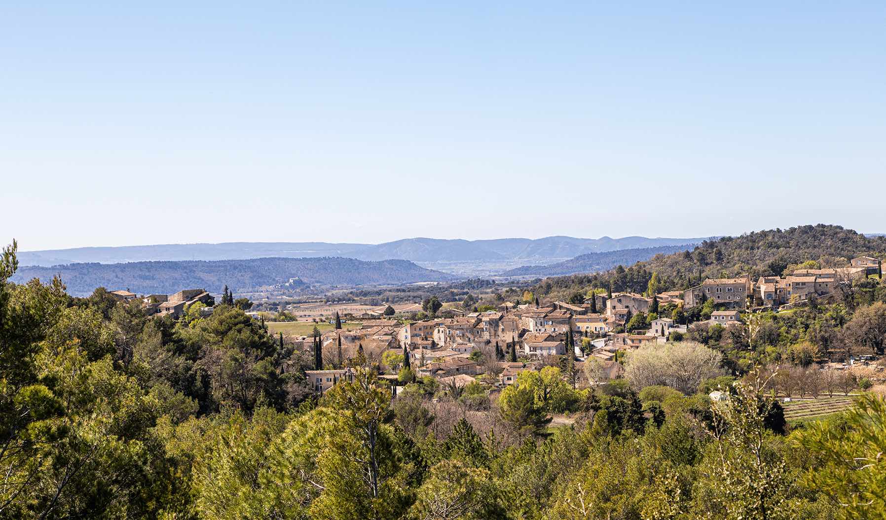
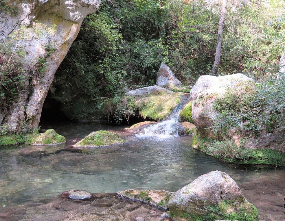
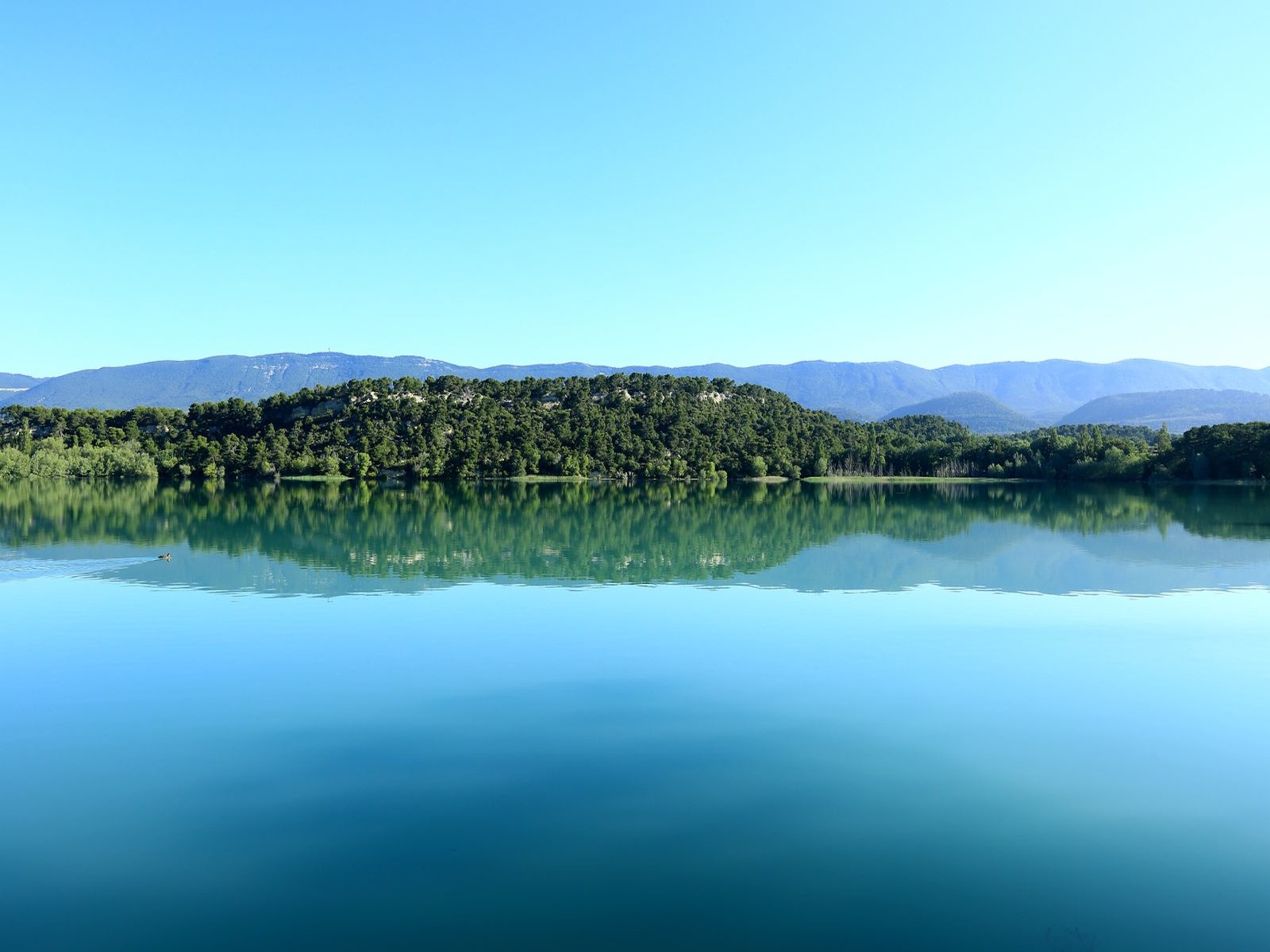
Short walk on the north shores of the pond of Bonde, covered with a thick forest. Nice place for a picnic and a swim in summer.

Already more than 200,000 users!
Uphill
67m
Highest point
387m
Downhill
67m
Lowest point
329m
Route type
Loop
Download the map on your smartphone to save battery and rest assured to always keep access to the route, even without signal.
Includes IGN France and Swisstopo.
I indicate whether dogs are allowed or prohibited on this trail
All year
2 ratings
Also enjoy:

Already more than 200,000 users!