Uphill
280m
France > Provence-Alpes-Côte d'Azur > Vaucluse > Luberon Regional Natural Park
Length
8km
Duration
3h
Elev gain
280m
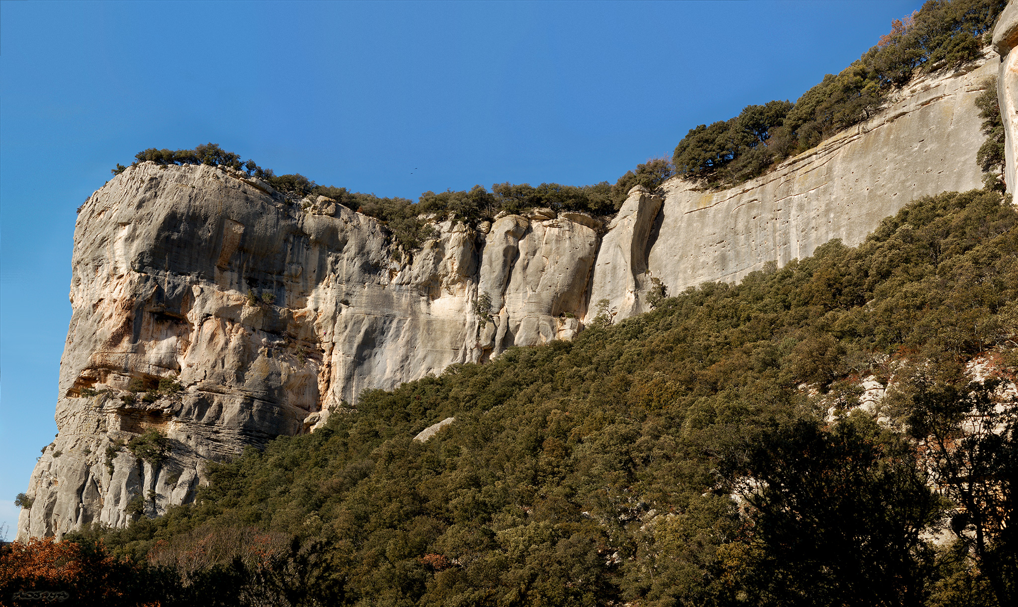
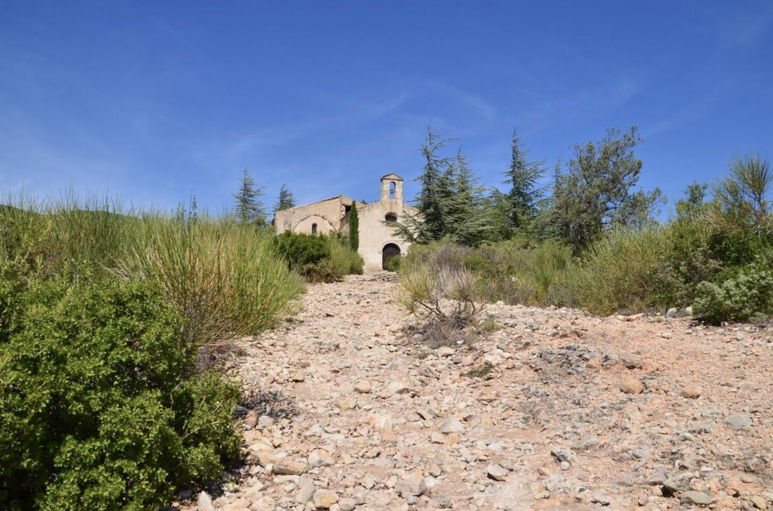
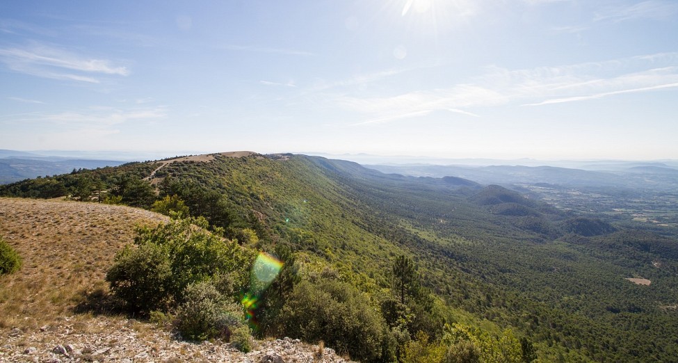
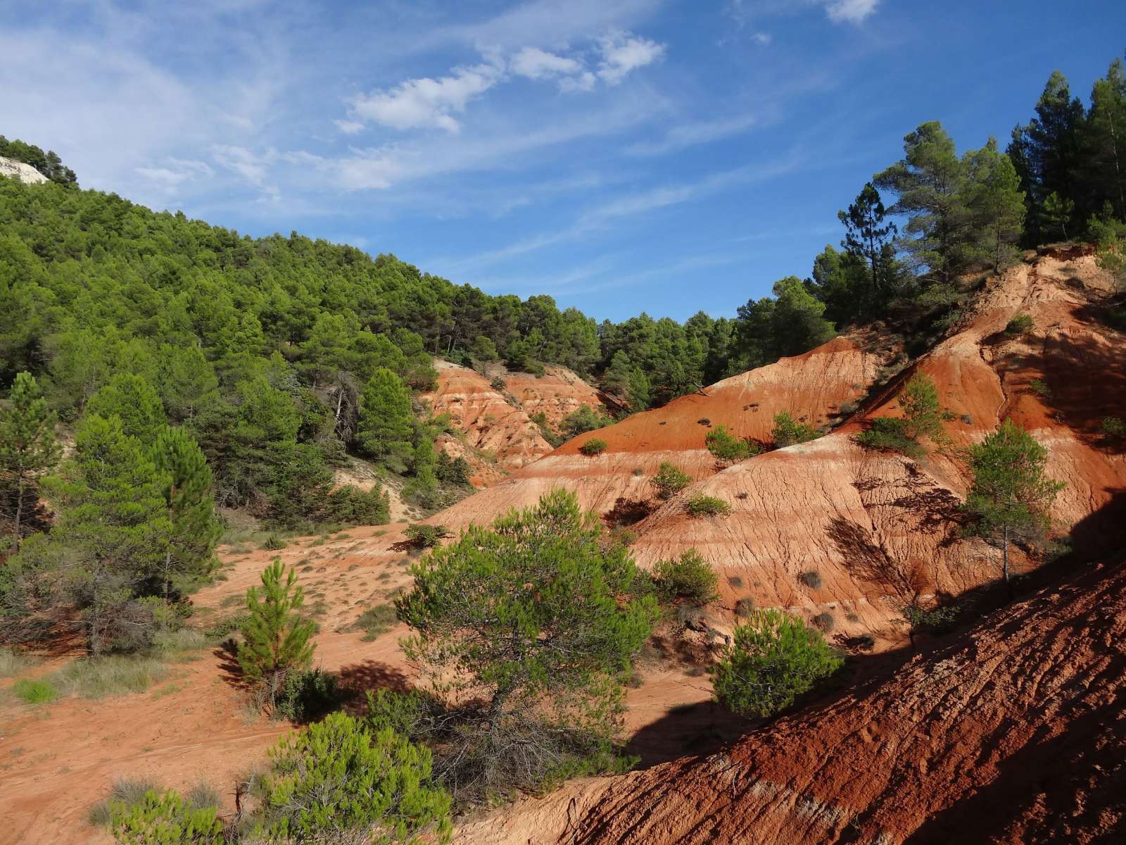
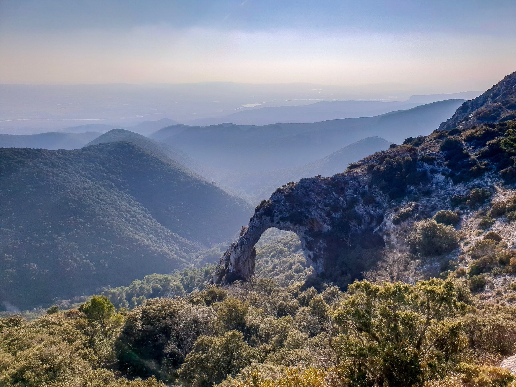
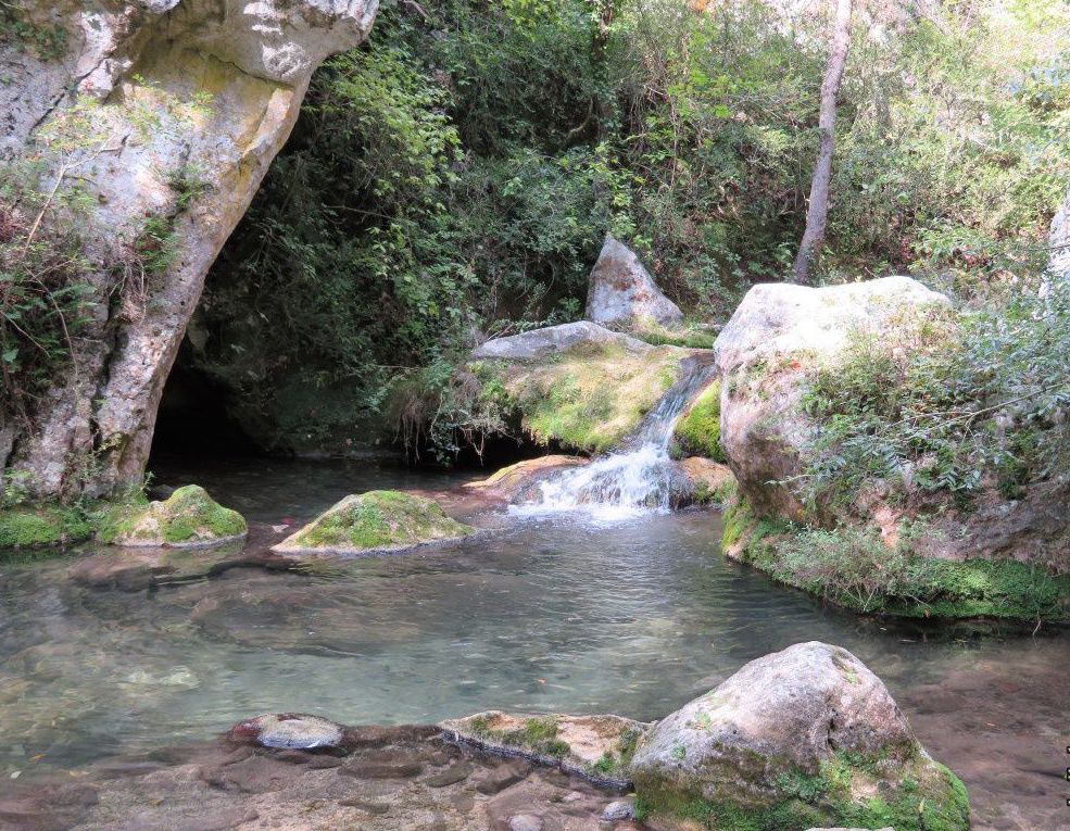
Here is a hike that starts not far from Buoux. The route makes a loop in the Aiguebrun valley and passes through the small village of Sivergues. There are many viewpoints over the gorges and the flora is splendid.

Already more than 200,000 users!
Uphill
280m
Highest point
576m
Downhill
280m
Lowest point
405m
Route type
Loop
Download the map on your smartphone to save battery and rest assured to always keep access to the route, even without signal.
Includes IGN France and Swisstopo.
1 rating
Also enjoy:

Already more than 200,000 users!