Uphill
331m
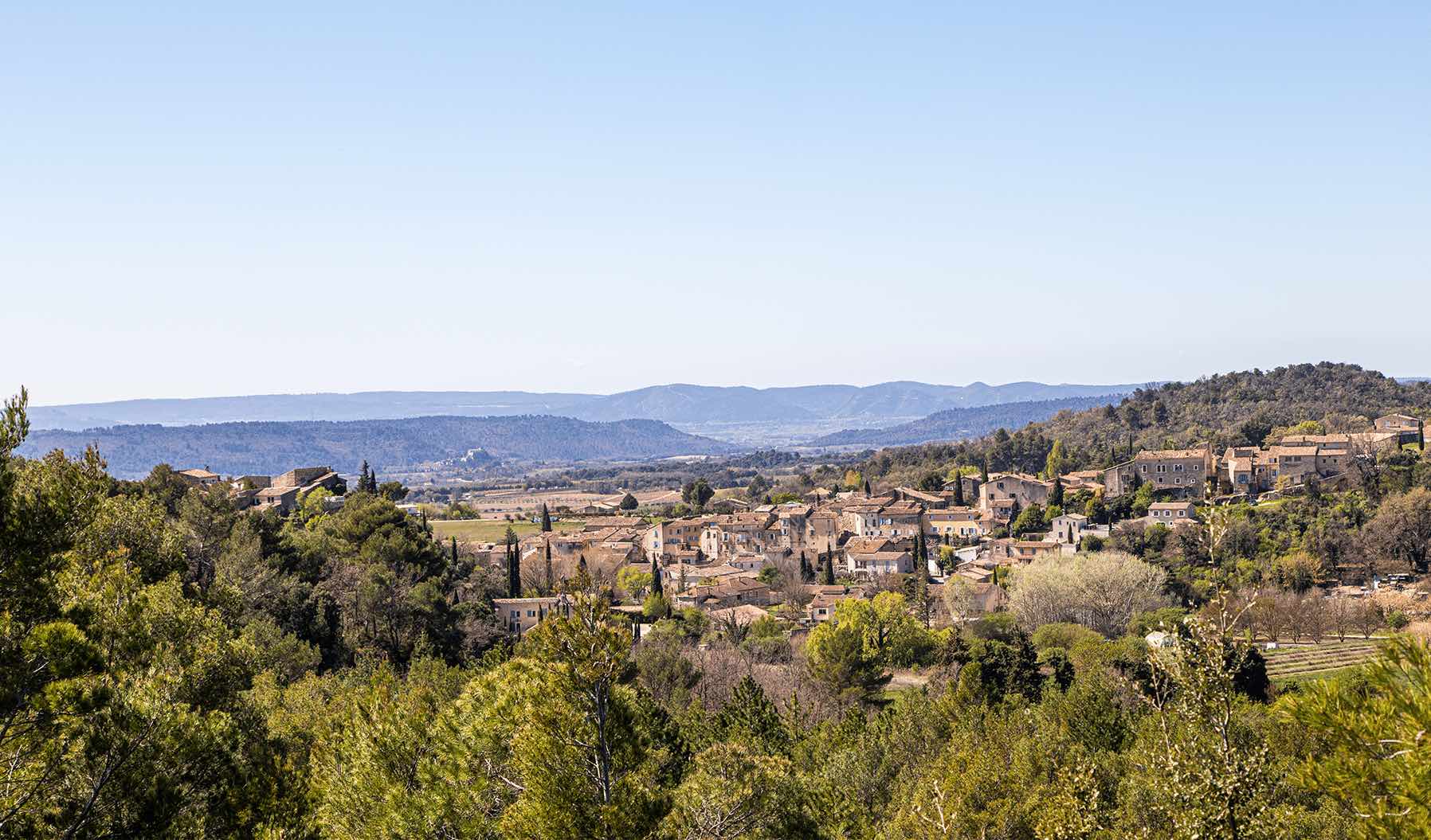
France > Provence-Alpes-Côte d'Azur > Vaucluse > Luberon Regional Natural Park
Length
9km
Duration
3h
Elev gain
331m
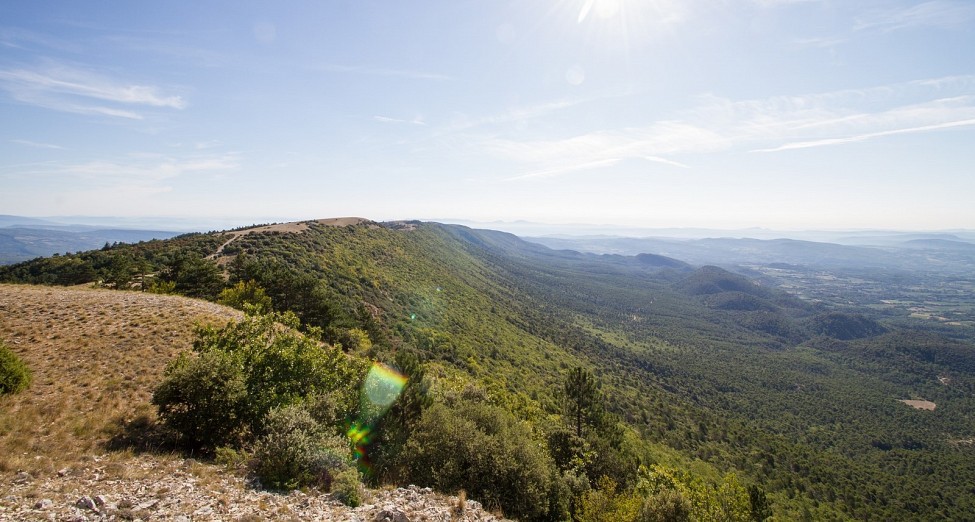
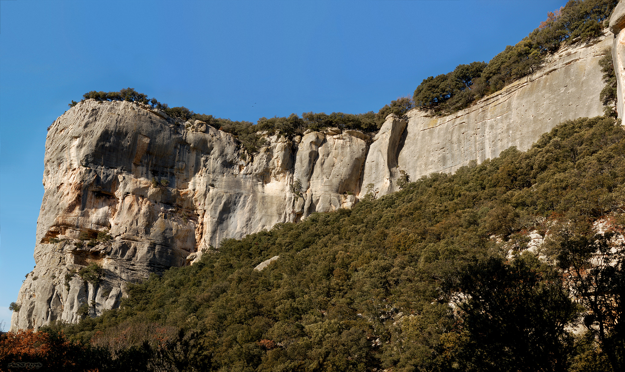
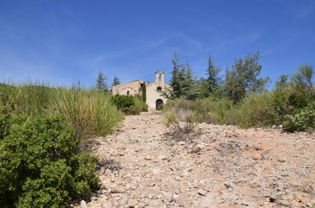
Walk from Cucuron to the Hermitage chapel, before continuing in the garrigue via forest tracks.

Already more than 200,000 users!
Uphill
331m
Highest point
629m
Downhill
331m
Lowest point
345m
Route type
Loop
Download the map on your smartphone to save battery and rest assured to always keep access to the route, even without signal.
Includes IGN France and Swisstopo.
I indicate whether dogs are allowed or prohibited on this trail
All year
0 ratings
Also enjoy:

Already more than 200,000 users!