Uphill
701m
Length
13km
Duration
5h30min
Elev gain
701m
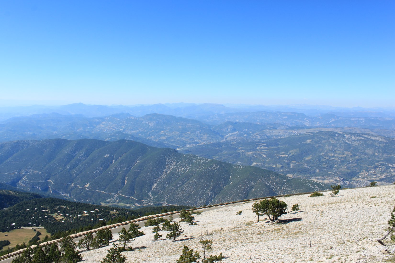
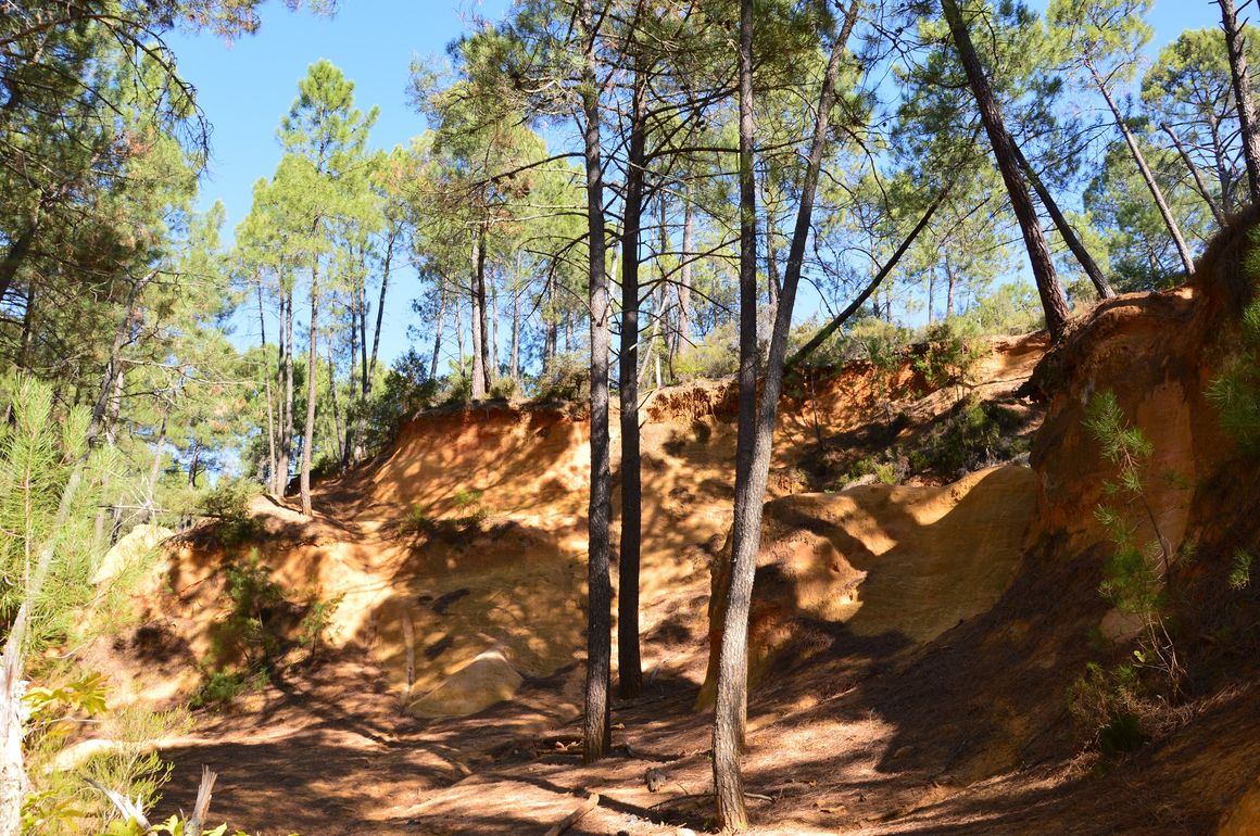
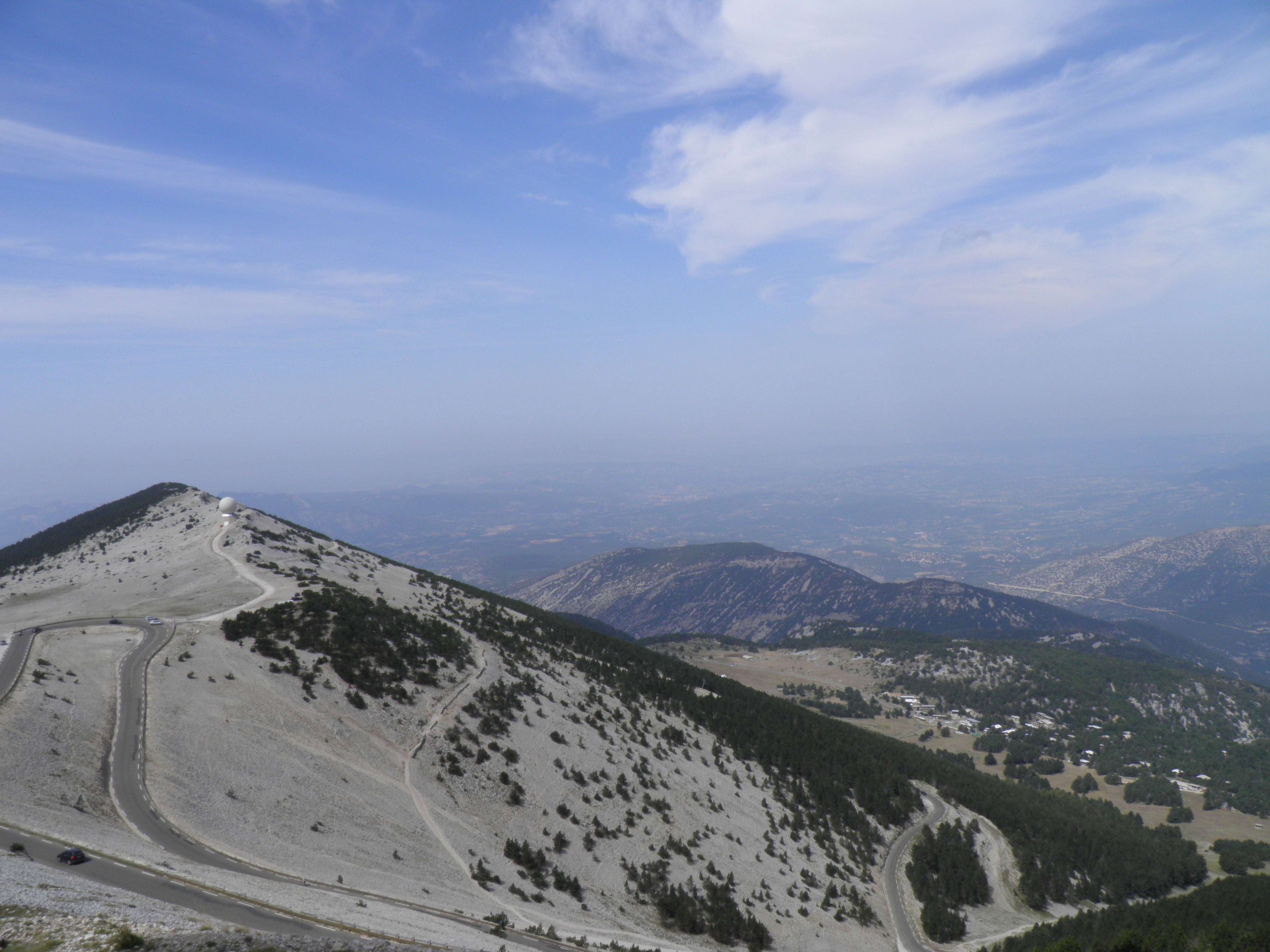
The trail begins in dense vegetation, before climbing the crest and enjoying the view from the summit of Vaucluse (1910 m).

Already more than 200,000 users!
Uphill
701m
Highest point
1894m
Downhill
701m
Lowest point
1405m
Route type
Loop
Download the map on your smartphone to save battery and rest assured to always keep access to the route, even without signal.
Includes IGN France and Swisstopo.
I indicate whether dogs are allowed or prohibited on this trail
From May to October
1 rating
Also enjoy:

Already more than 200,000 users!