Uphill
662m
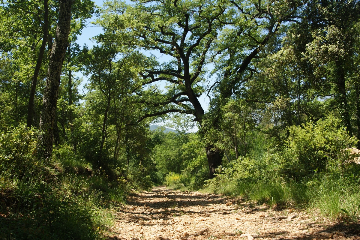
France > Provence-Alpes-Côte d'Azur > Vaucluse > Mont-Ventoux Regional Natural Park
Length
13km
Duration
5h
Elev gain
662m
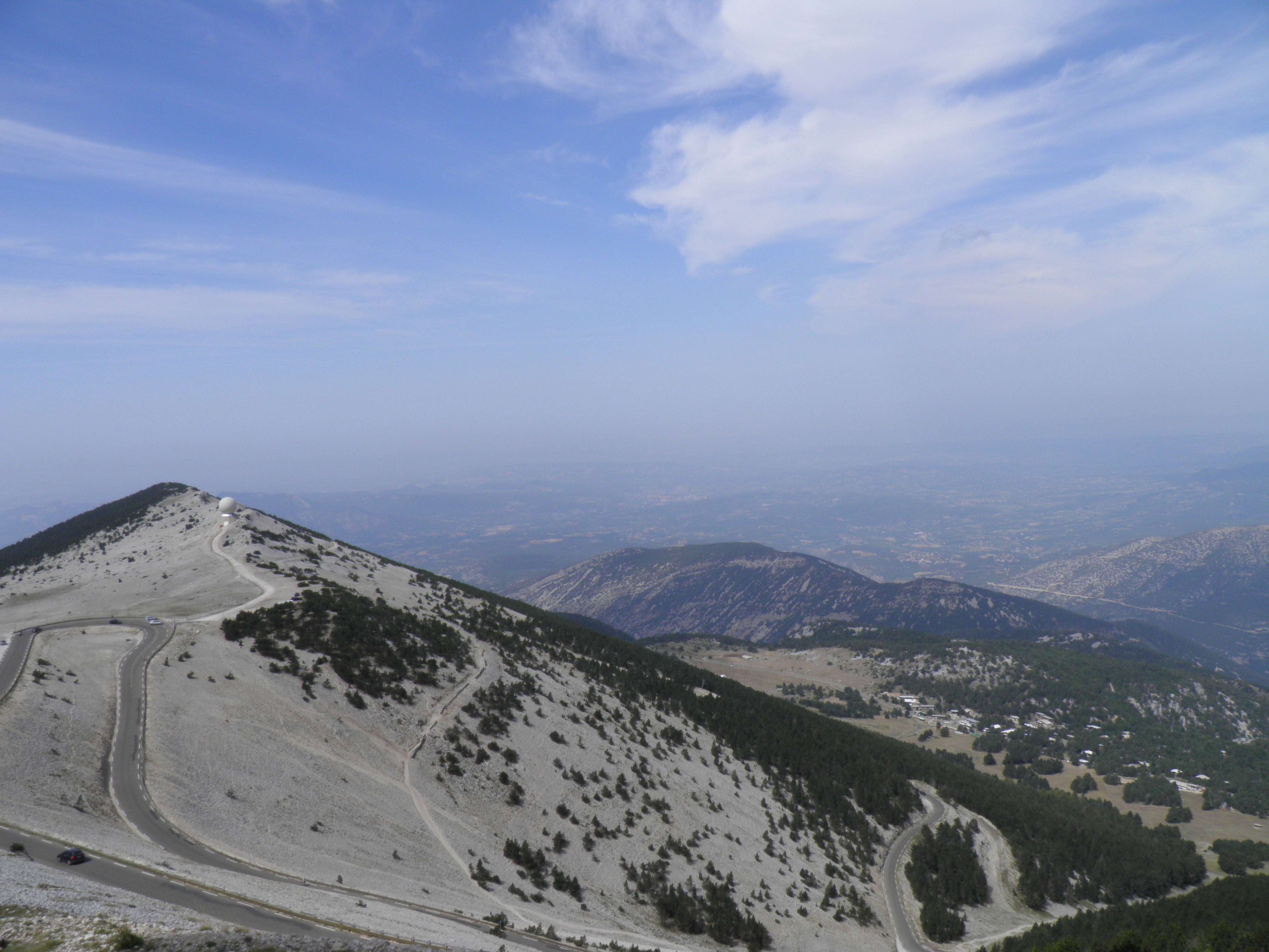
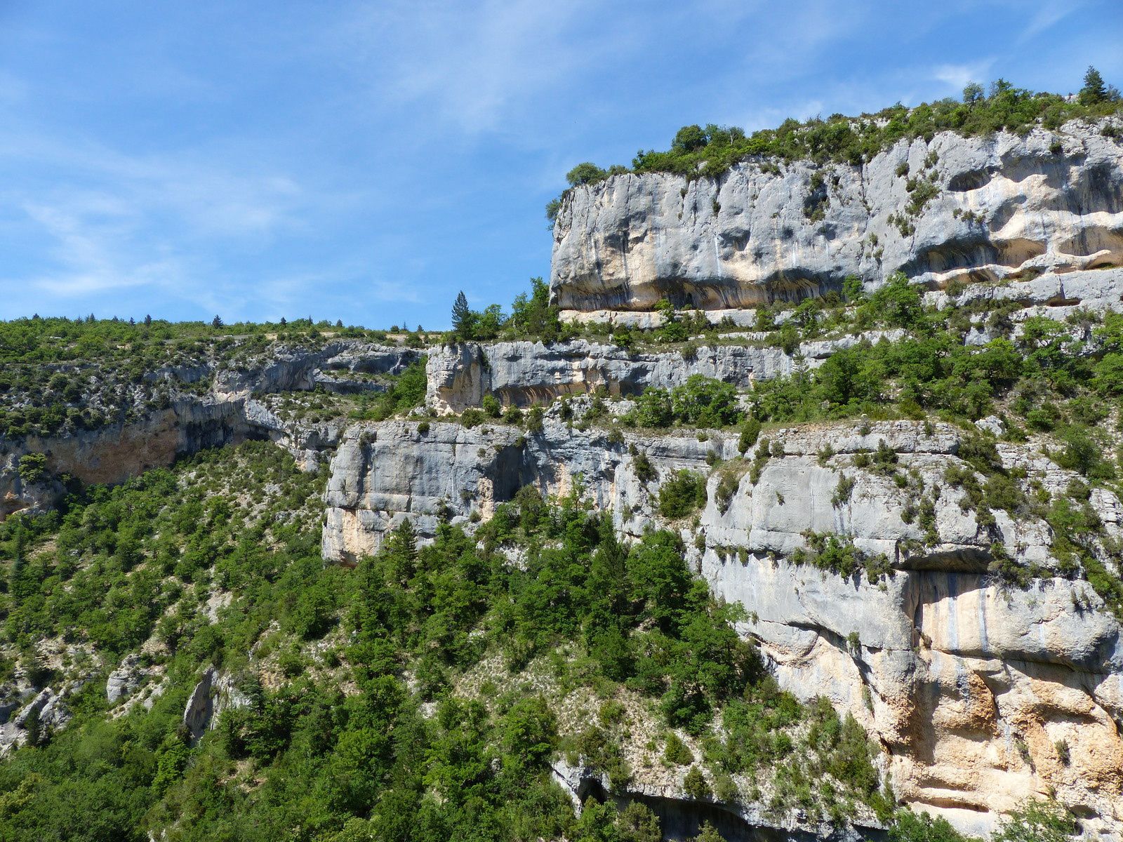
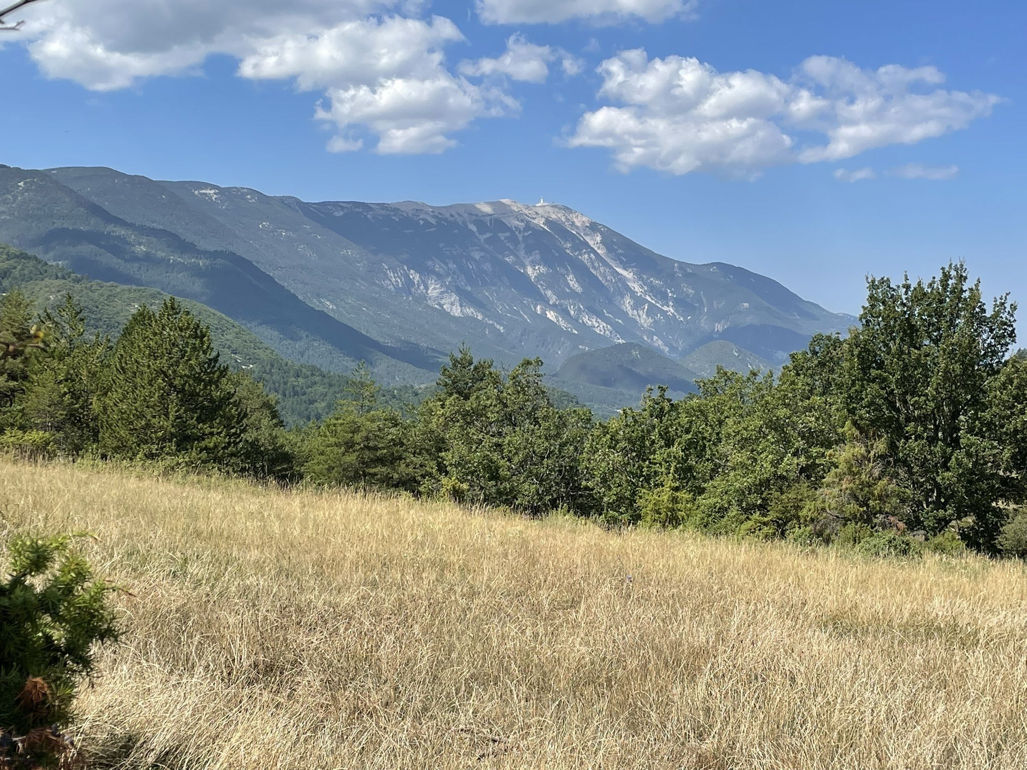
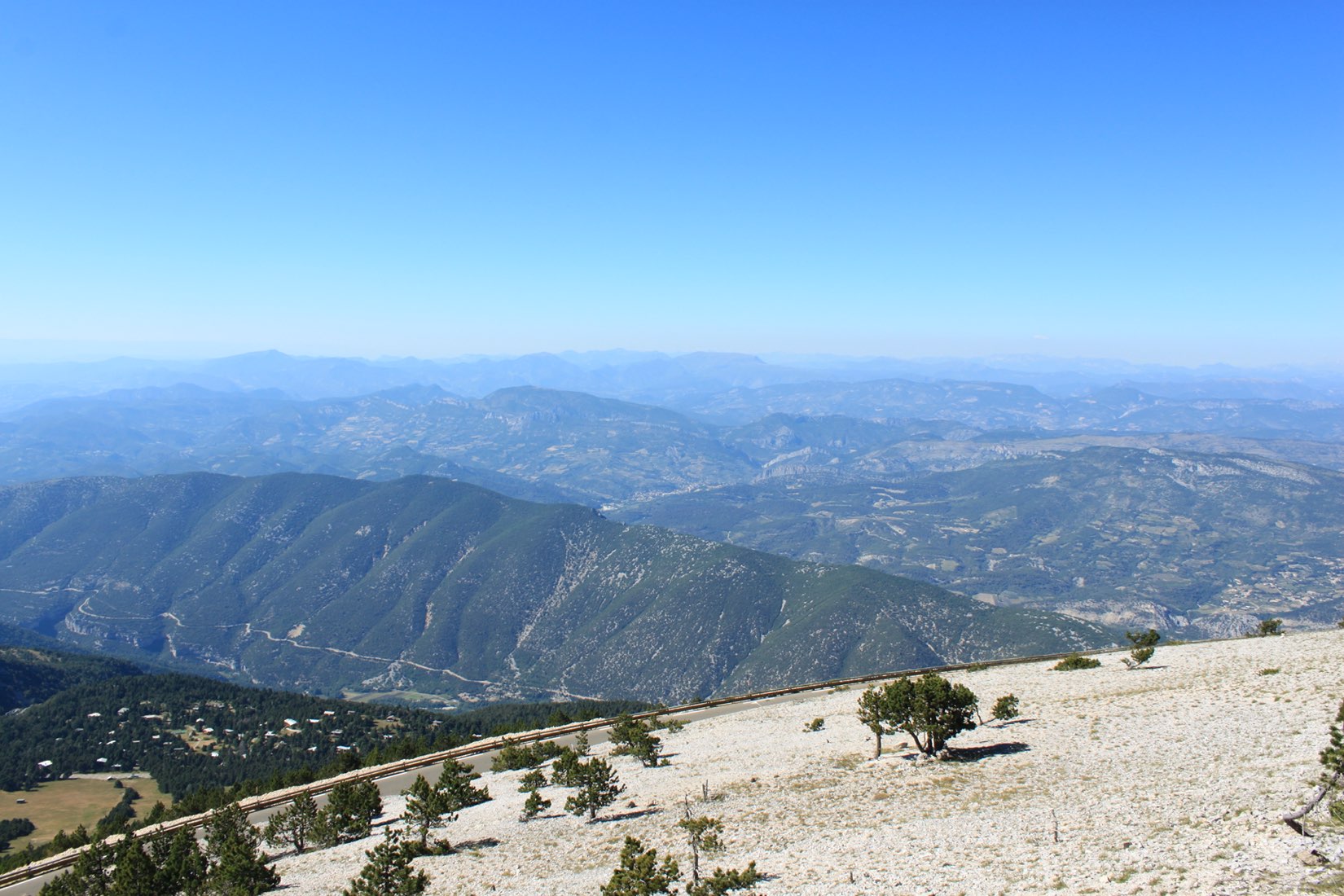
Relatively little vegetation, but a superb view of the Vaucluse.

Already more than 200,000 users!
Uphill
662m
Highest point
1916m
Downhill
662m
Lowest point
1422m
Route type
Loop
Download the map on your smartphone to save battery and rest assured to always keep access to the route, even without signal.
Includes IGN France and Swisstopo.
I indicate whether dogs are allowed or prohibited on this trail
From May to October
1 rating
Also enjoy:

Already more than 200,000 users!