Uphill
87m
France > Provence-Alpes-Côte d'Azur > Vaucluse > Mont-Ventoux Regional Natural Park
Length
5km
Duration
1h30min
Elev gain
87m
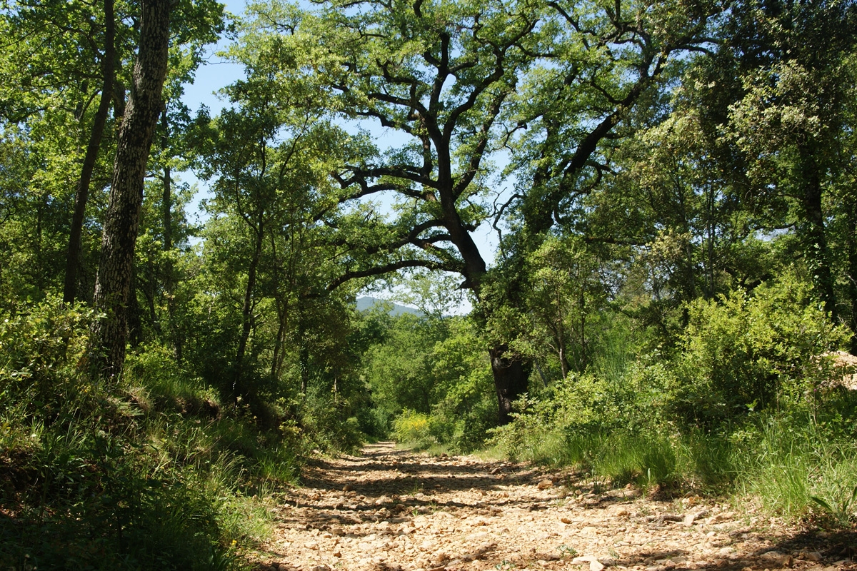
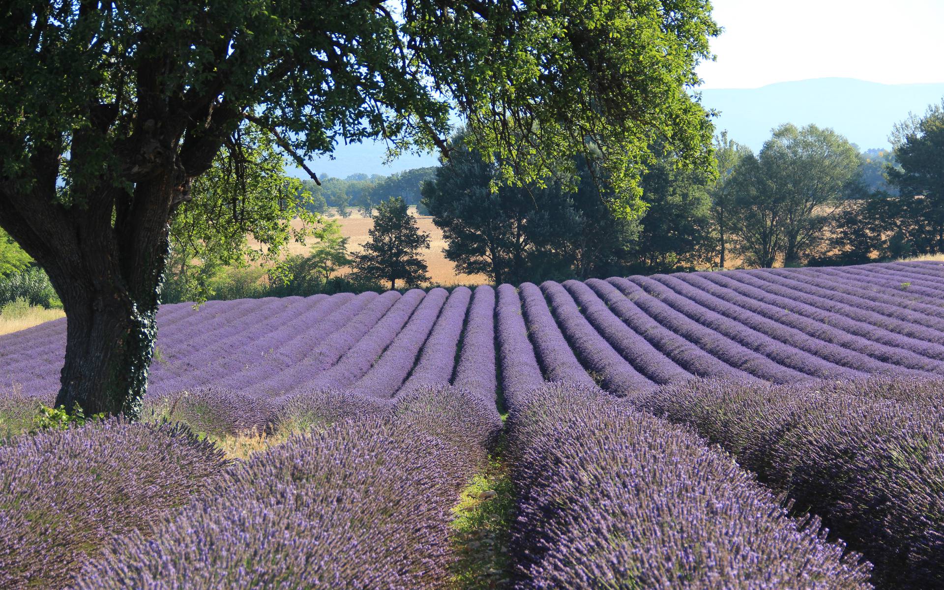
A little stroll with the scents of lavender in Provence. The trail is very lightly shaded, bottled water and sunscreen are highly recommended.

Already more than 200,000 users!
Uphill
87m
Highest point
767m
Downhill
87m
Lowest point
696m
Route type
Loop
Download the map on your smartphone to save battery and rest assured to always keep access to the route, even without signal.
Includes IGN France and Swisstopo.
I indicate whether dogs are allowed or prohibited on this trail
All year
1 rating
Also enjoy:

Already more than 200,000 users!