Uphill
235m
France > Auvergne-Rhône-Alpes > Drôme > Baronnies Provençales Regional Natural Park
Length
7km
Duration
2h30min
Elev gain
235m
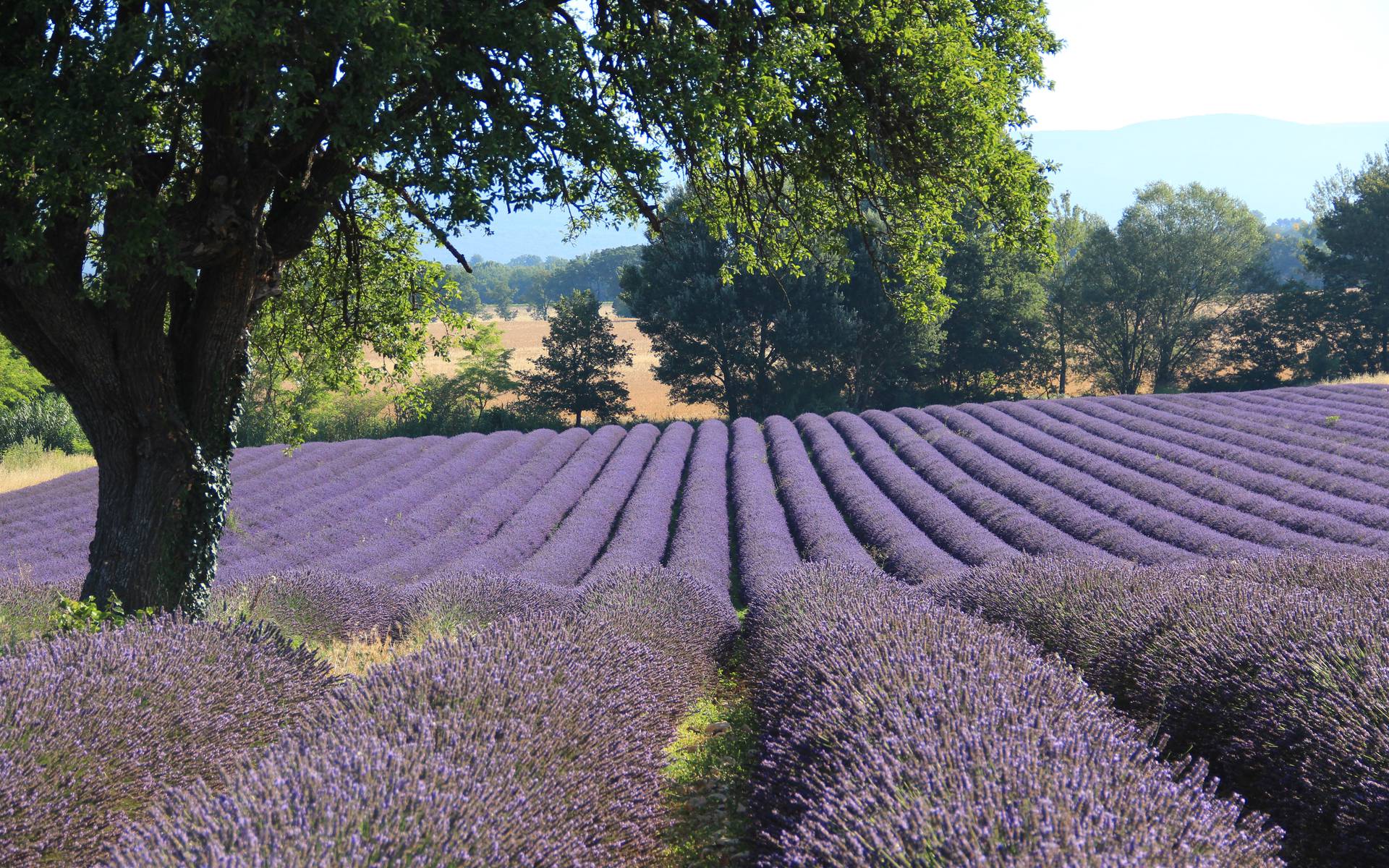
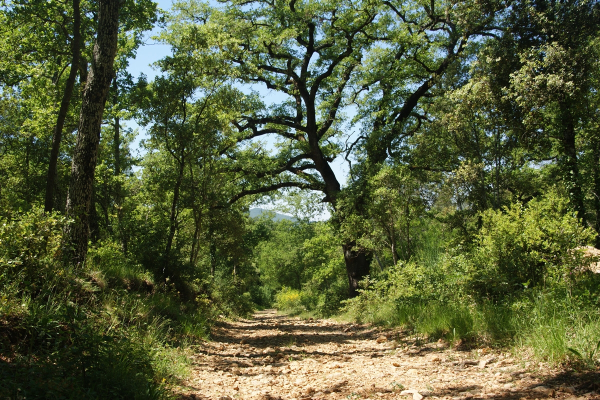
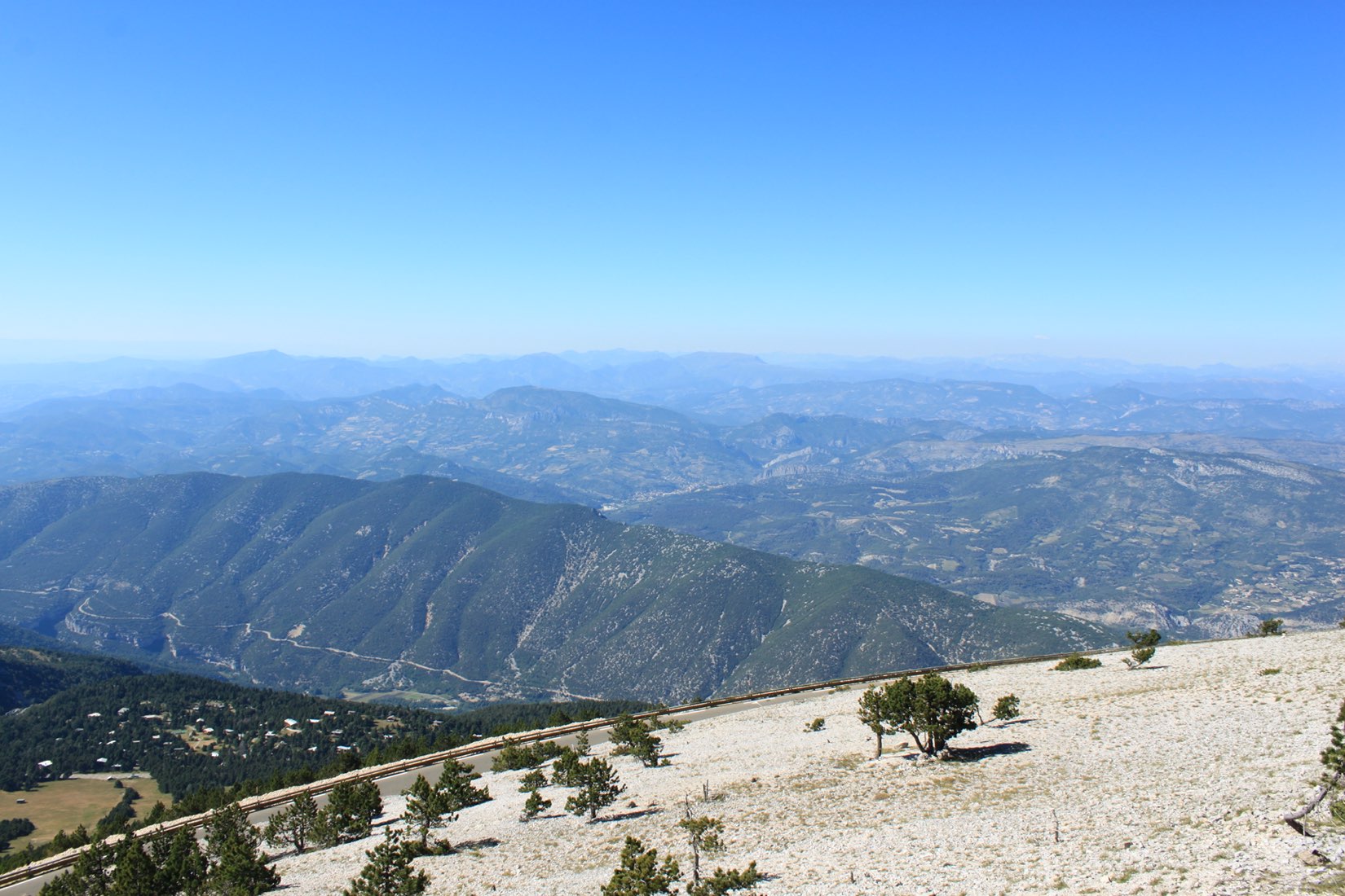
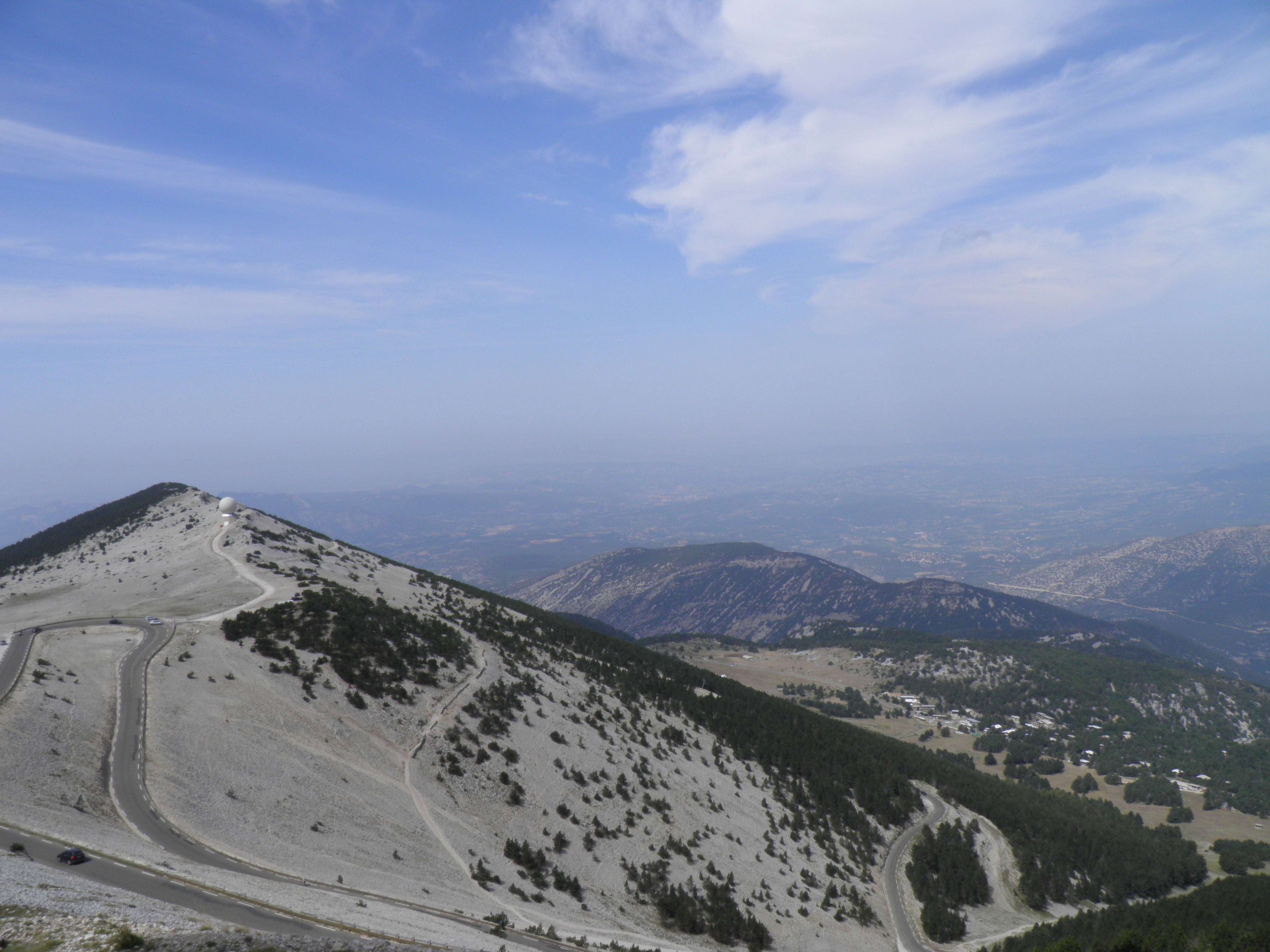
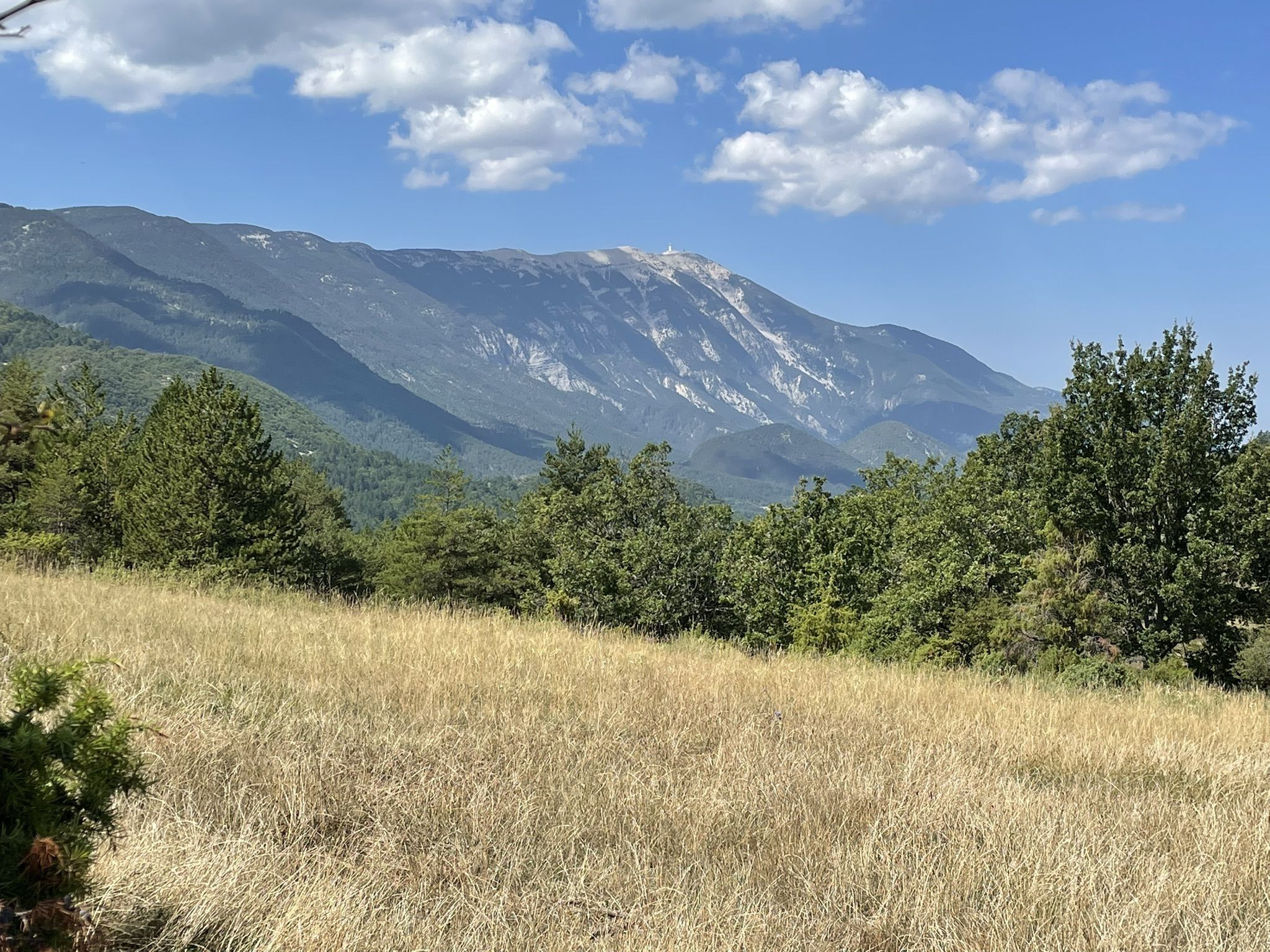
From the Vénéjean bridge, this hike makes a loop around the mountain of Vic. The path rises and offers beautiful views of the Ventoux.

Already more than 200,000 users!
Uphill
235m
Highest point
706m
Downhill
235m
Lowest point
522m
Route type
Loop
Download the map on your smartphone to save battery and rest assured to always keep access to the route, even without signal.
Includes IGN France and Swisstopo.
I indicate whether dogs are allowed or prohibited on this trail
All year
0 ratings
Also enjoy:

Already more than 200,000 users!