Uphill
434m
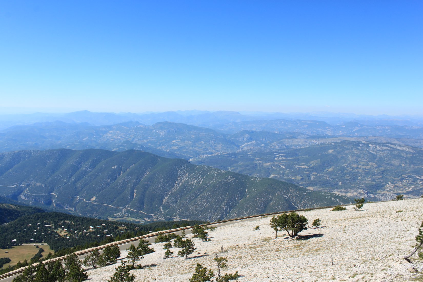
France > Provence-Alpes-Côte d'Azur > Vaucluse > Mont-Ventoux Regional Natural Park
Length
8km
Duration
3h30min
Elev gain
434m
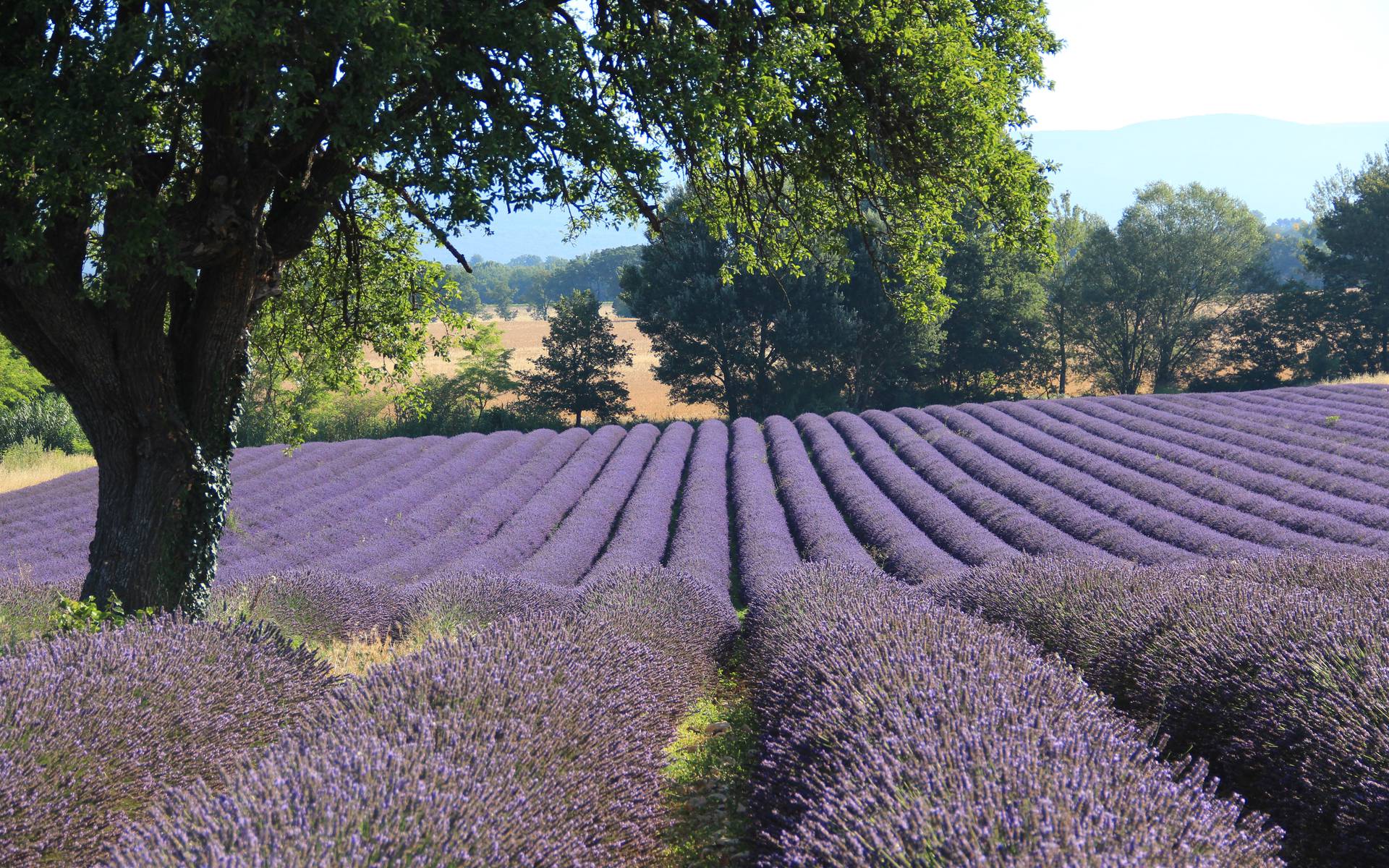
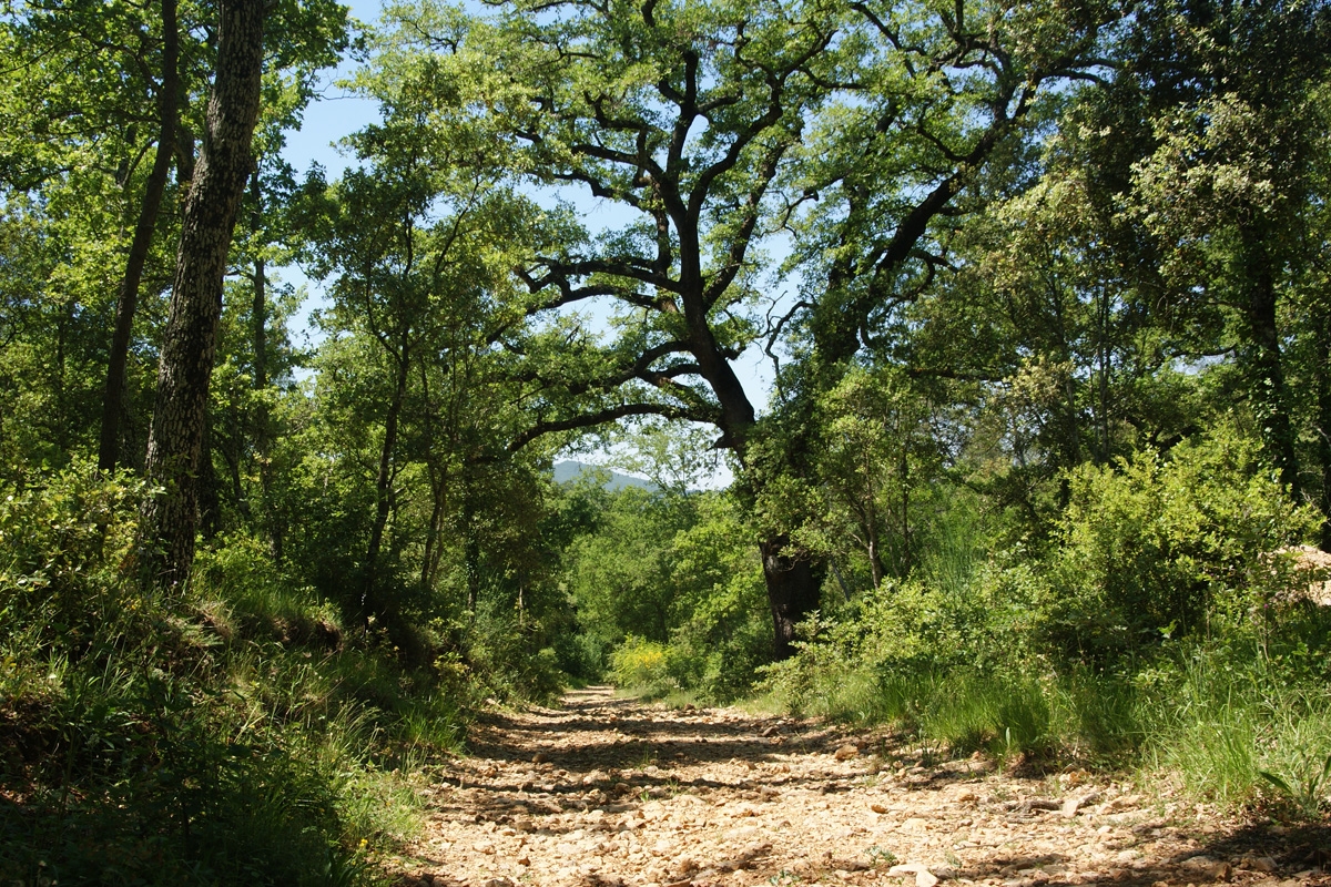
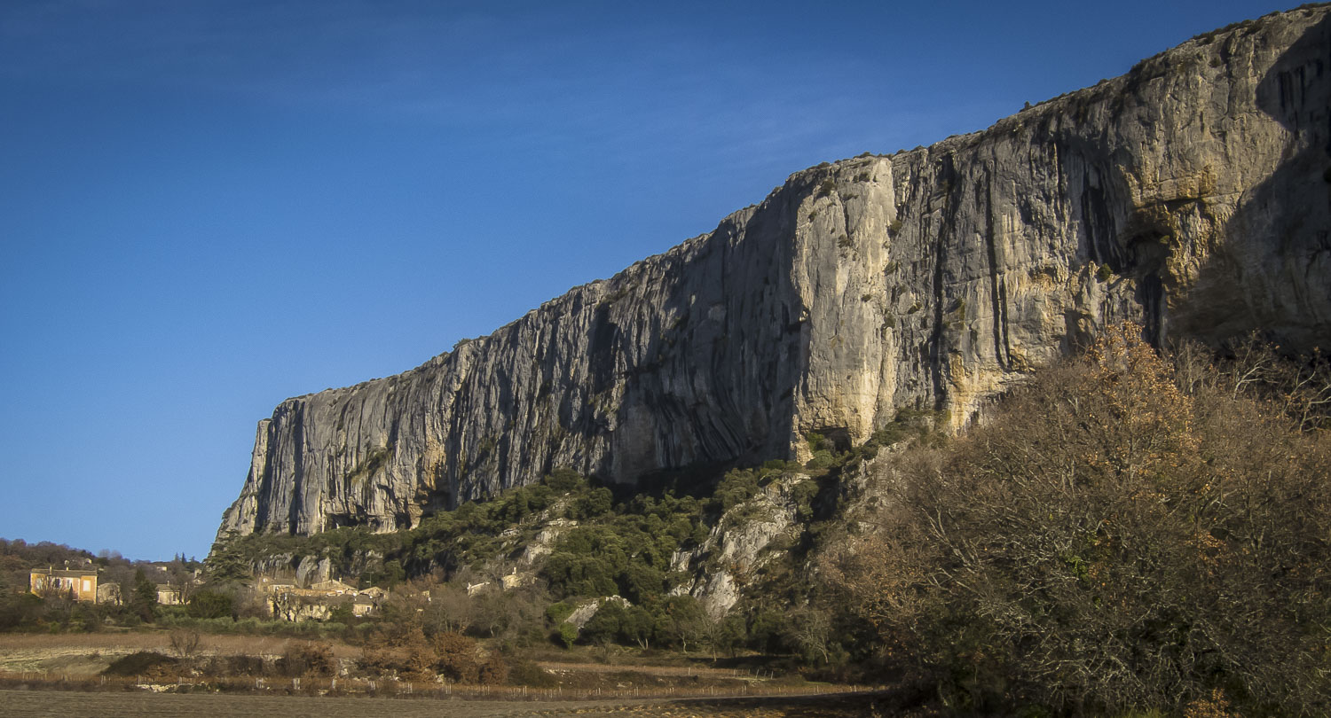
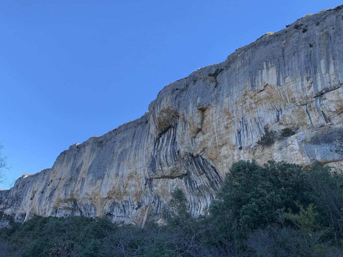
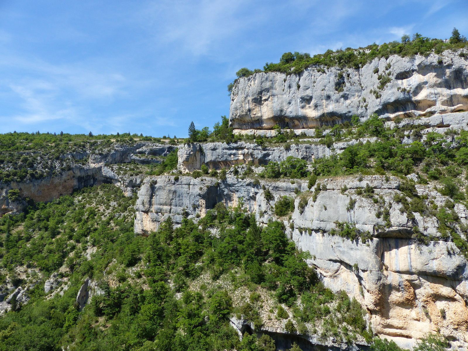
Departing from the Monieux lake, this hike sets off to explore the Nesque gorges, a canyon carved out by the Nesque river in the Vaucluse mountains. The landscapes are magnificent.
Note that the trail has some tricky passages, and should be avoided by people prone to vertigo.

Already more than 200,000 users!
Uphill
434m
Highest point
862m
Downhill
434m
Lowest point
614m
Route type
Loop
Download the map on your smartphone to save battery and rest assured to always keep access to the route, even without signal.
Includes IGN France and Swisstopo.
I indicate whether dogs are allowed or prohibited on this trail
All year
3 ratings
Also enjoy:

Already more than 200,000 users!