Uphill
259m
France > Provence-Alpes-Côte d'Azur > Vaucluse > Luberon Regional Natural Park
Length
8km
Duration
2h30min
Elev gain
259m
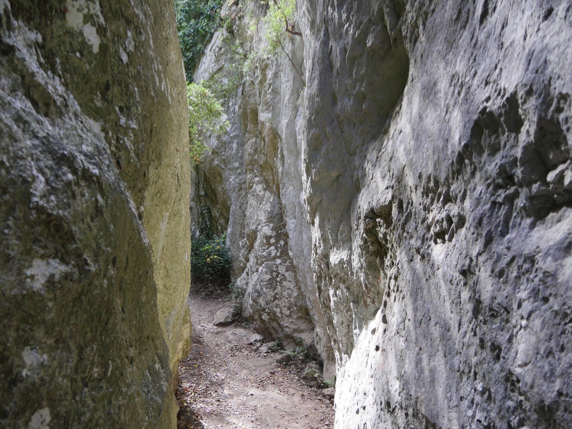
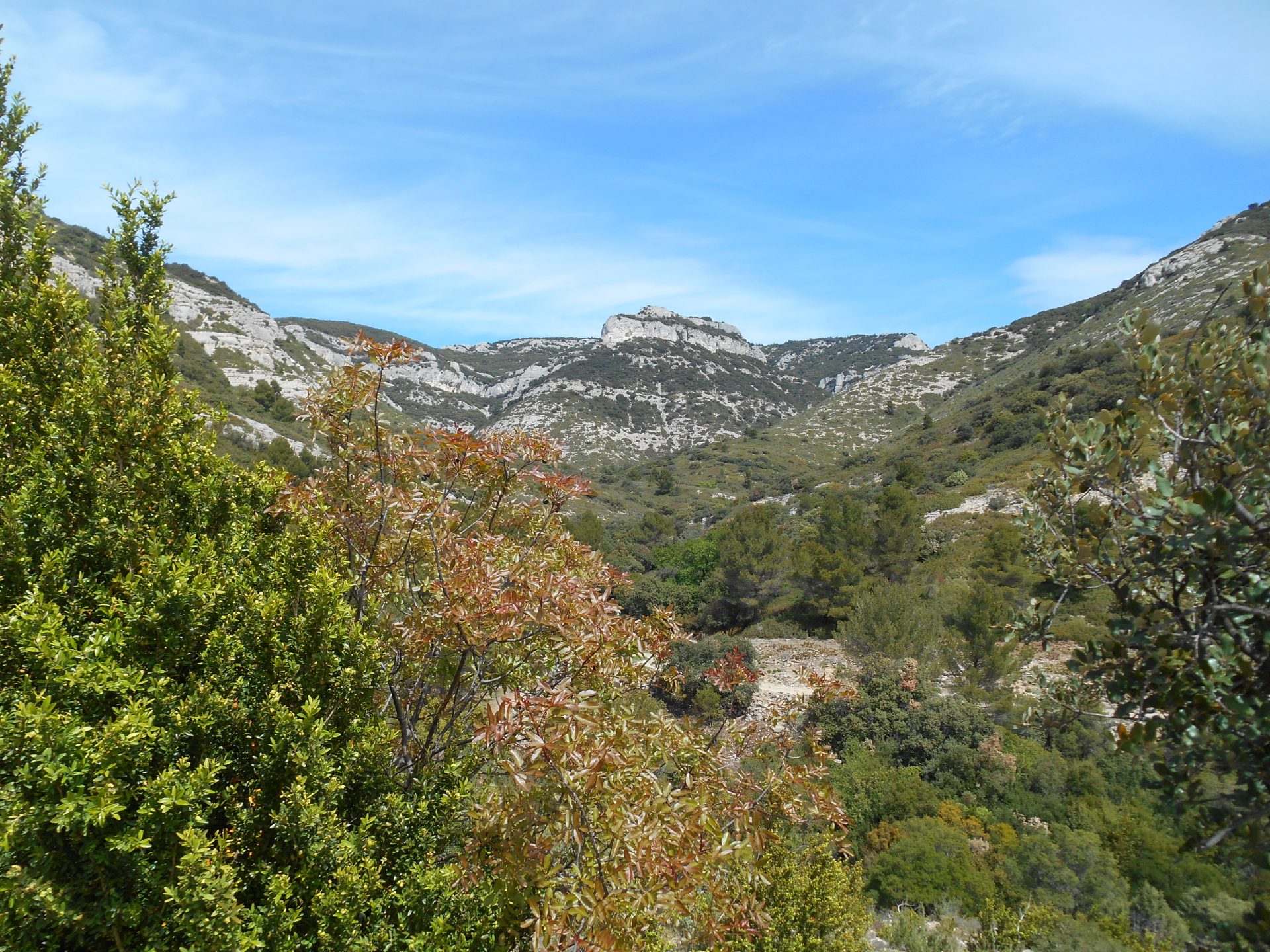
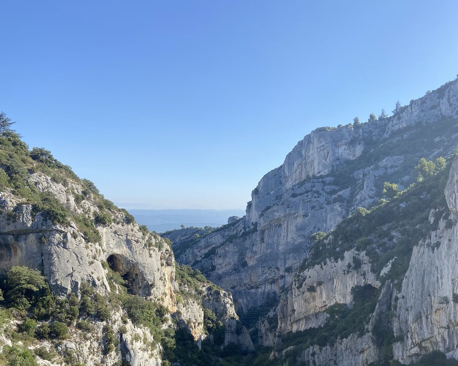
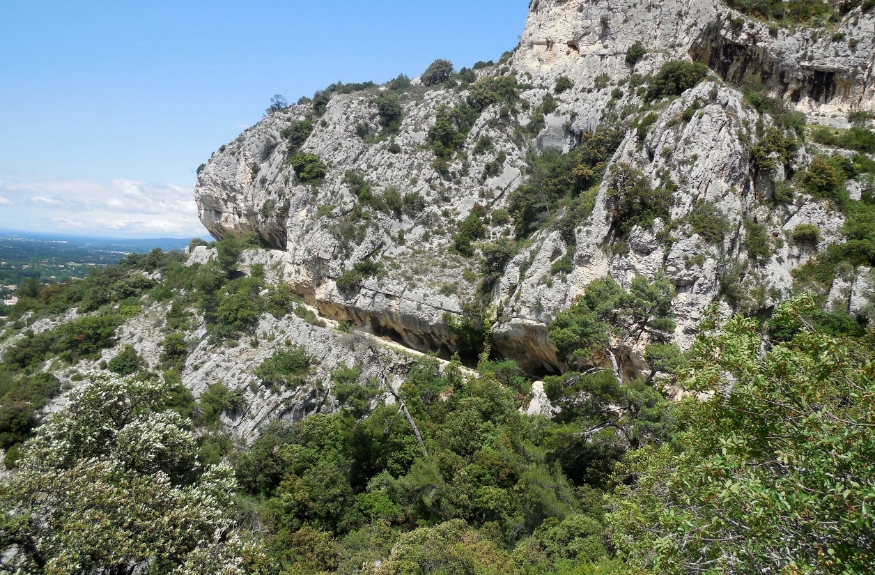
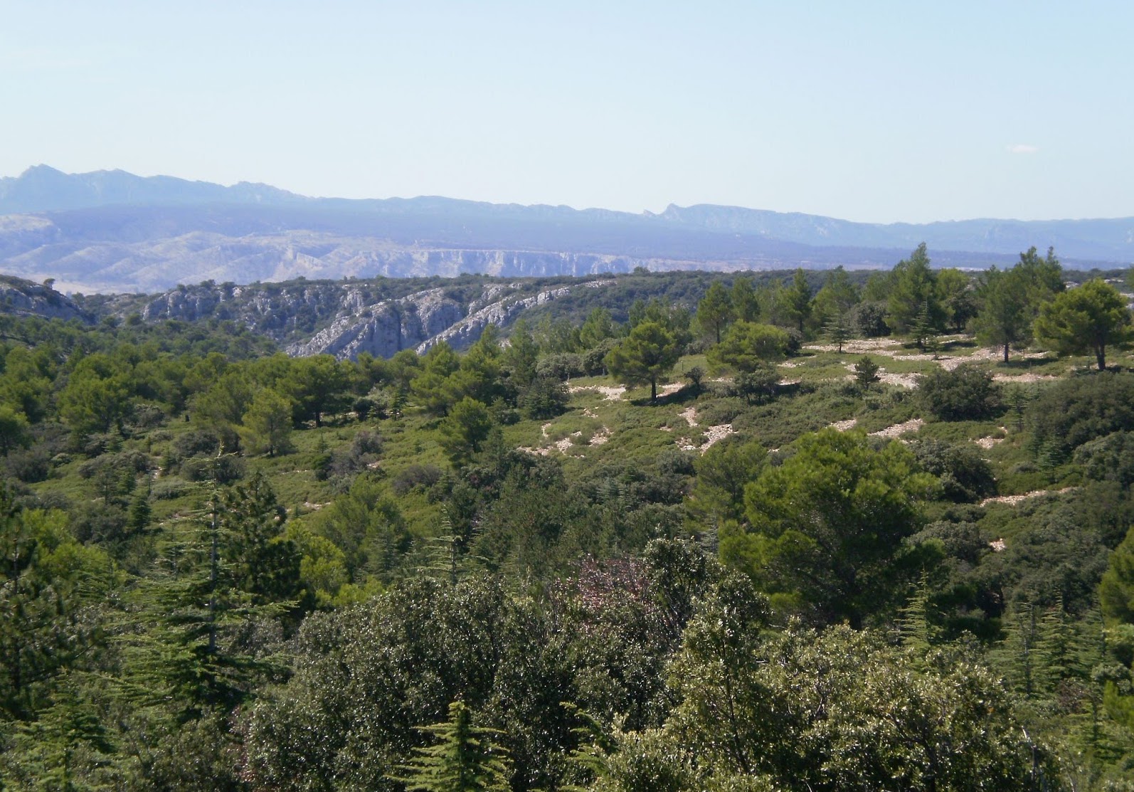
It is in the town of Mallemort that this hike begins. The course makes a loop and offers beautiful views of the Durance, all in a Mediterranean atmosphere.

Already more than 200,000 users!
Uphill
259m
Highest point
349m
Downhill
259m
Lowest point
118m
Route type
Loop
Download the map on your smartphone to save battery and rest assured to always keep access to the route, even without signal.
Includes IGN France and Swisstopo.
I indicate whether dogs are allowed or prohibited on this trail
All year
2 ratings
Also enjoy:

Already more than 200,000 users!