Uphill
573m
France > Provence-Alpes-Côte d'Azur > Vaucluse > Luberon Regional Natural Park
Length
8km
Duration
4h
Elev gain
573m
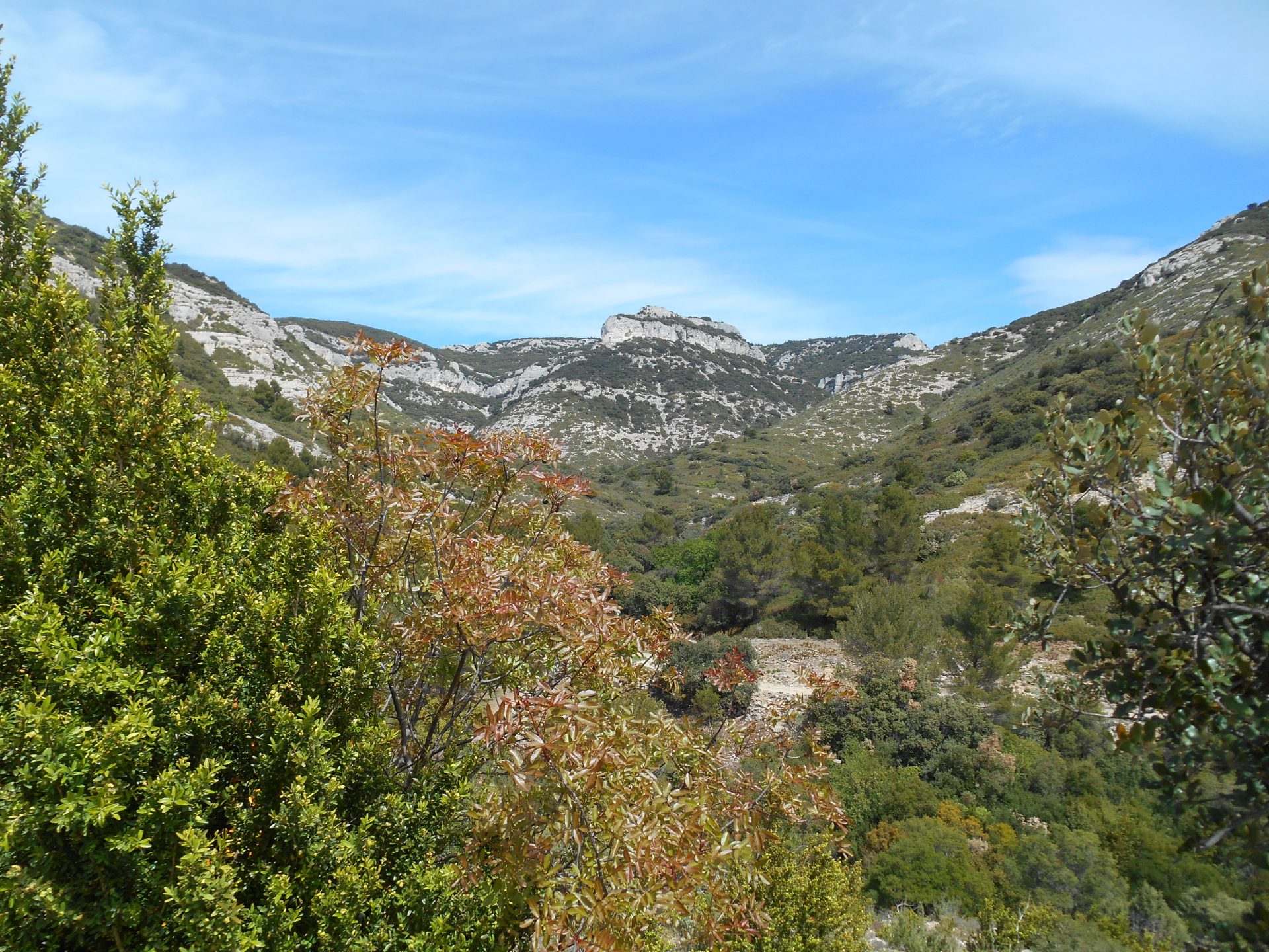
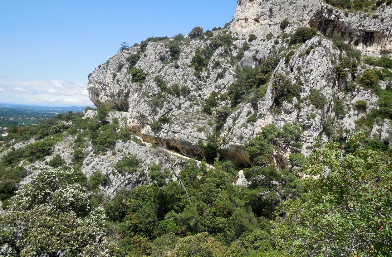
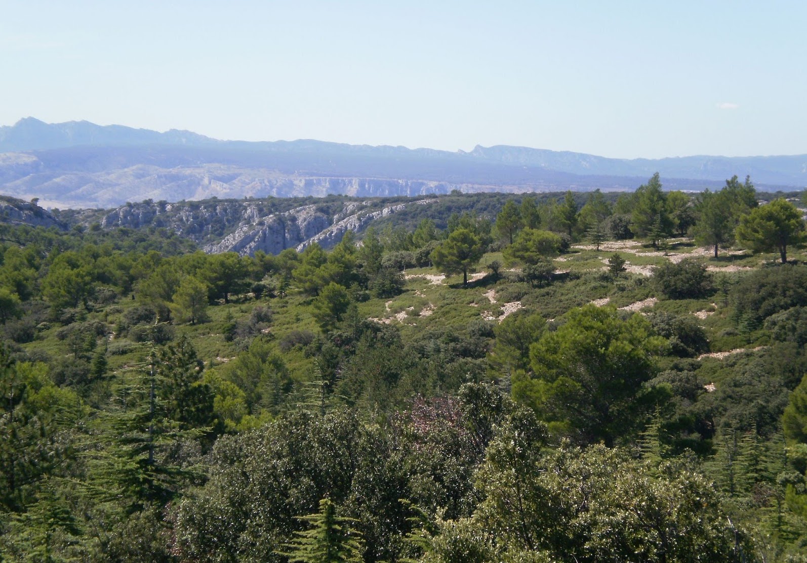
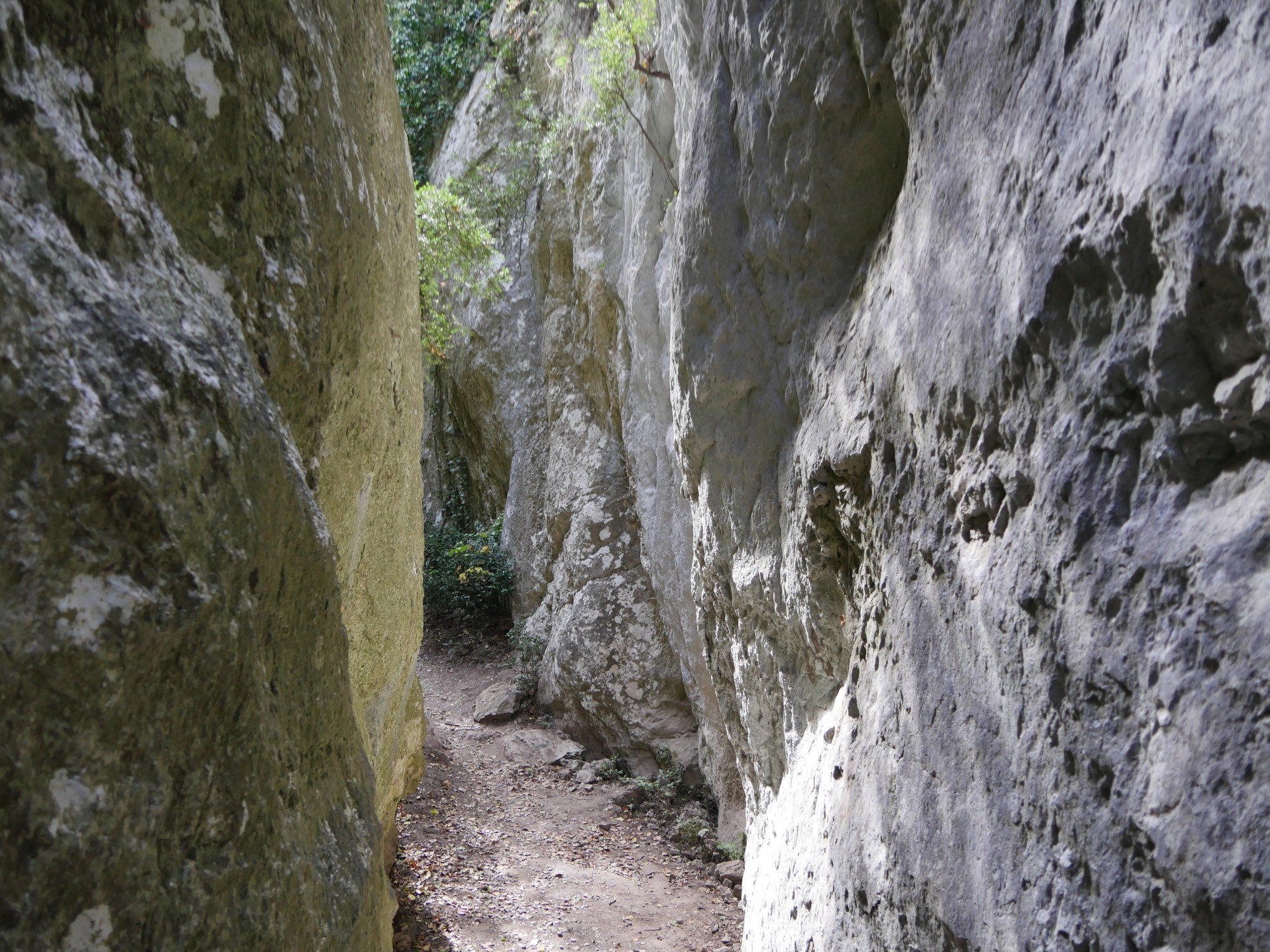
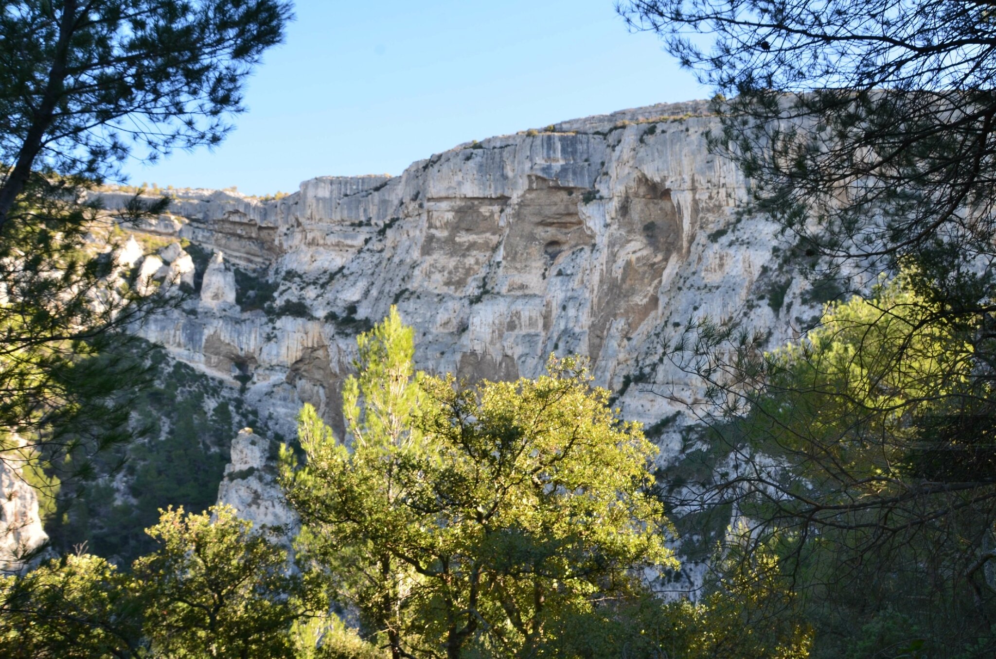
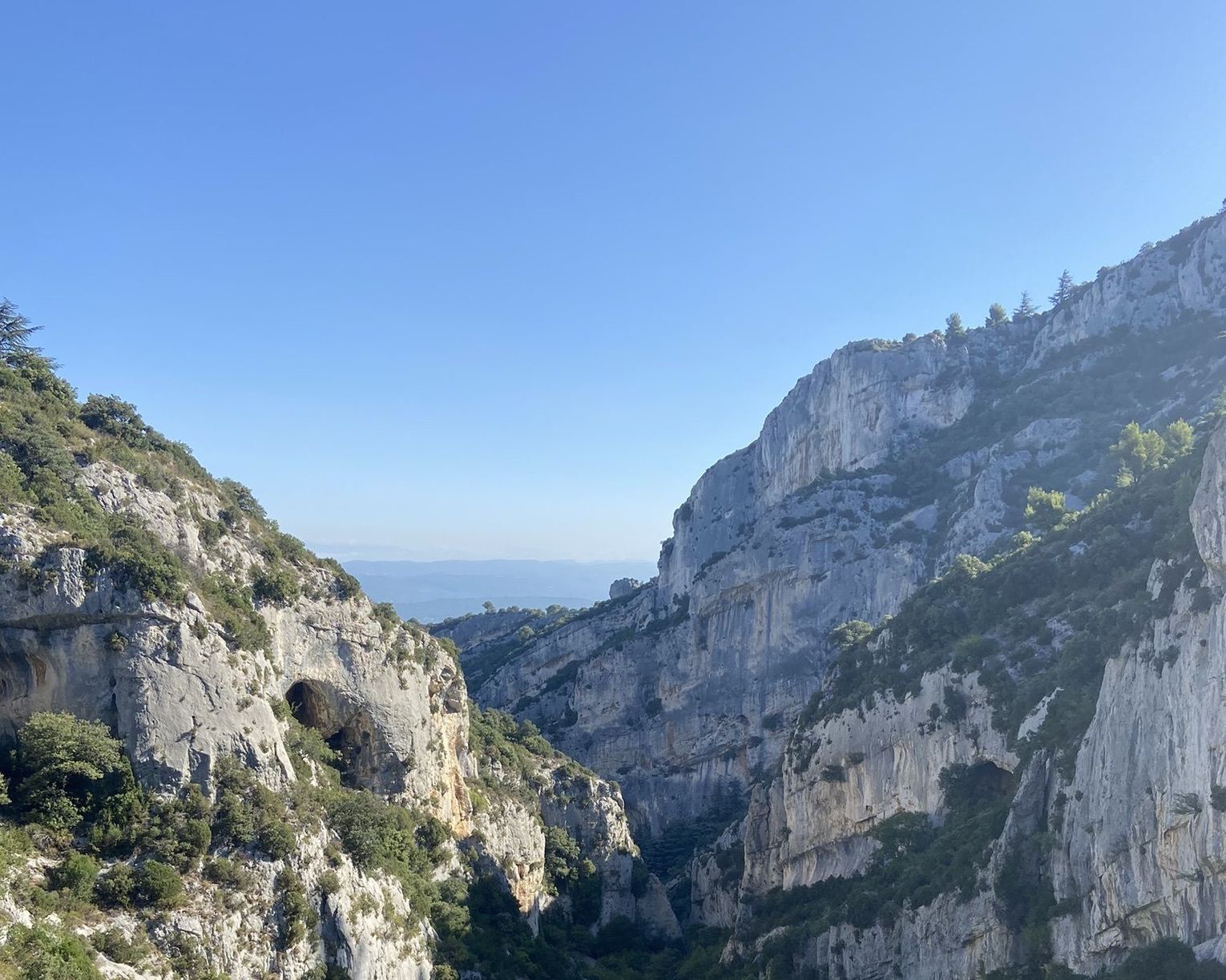
This route makes a loop on the north face of the Luberon in a wild setting typical of the region. Halfway through, the 360° panorama as well as the distant view of Mont Ventoux is superb.
Be careful though: this hike is reserved for regular hikers.

Already more than 200,000 users!
Uphill
573m
Highest point
701m
Downhill
573m
Lowest point
176m
Route type
Loop
Download the map on your smartphone to save battery and rest assured to always keep access to the route, even without signal.
Includes IGN France and Swisstopo.
I indicate whether dogs are allowed or prohibited on this trail
All year
1 rating
Also enjoy:

Already more than 200,000 users!