Uphill
491m
Length
8km
Duration
3h30min
Elev gain
491m
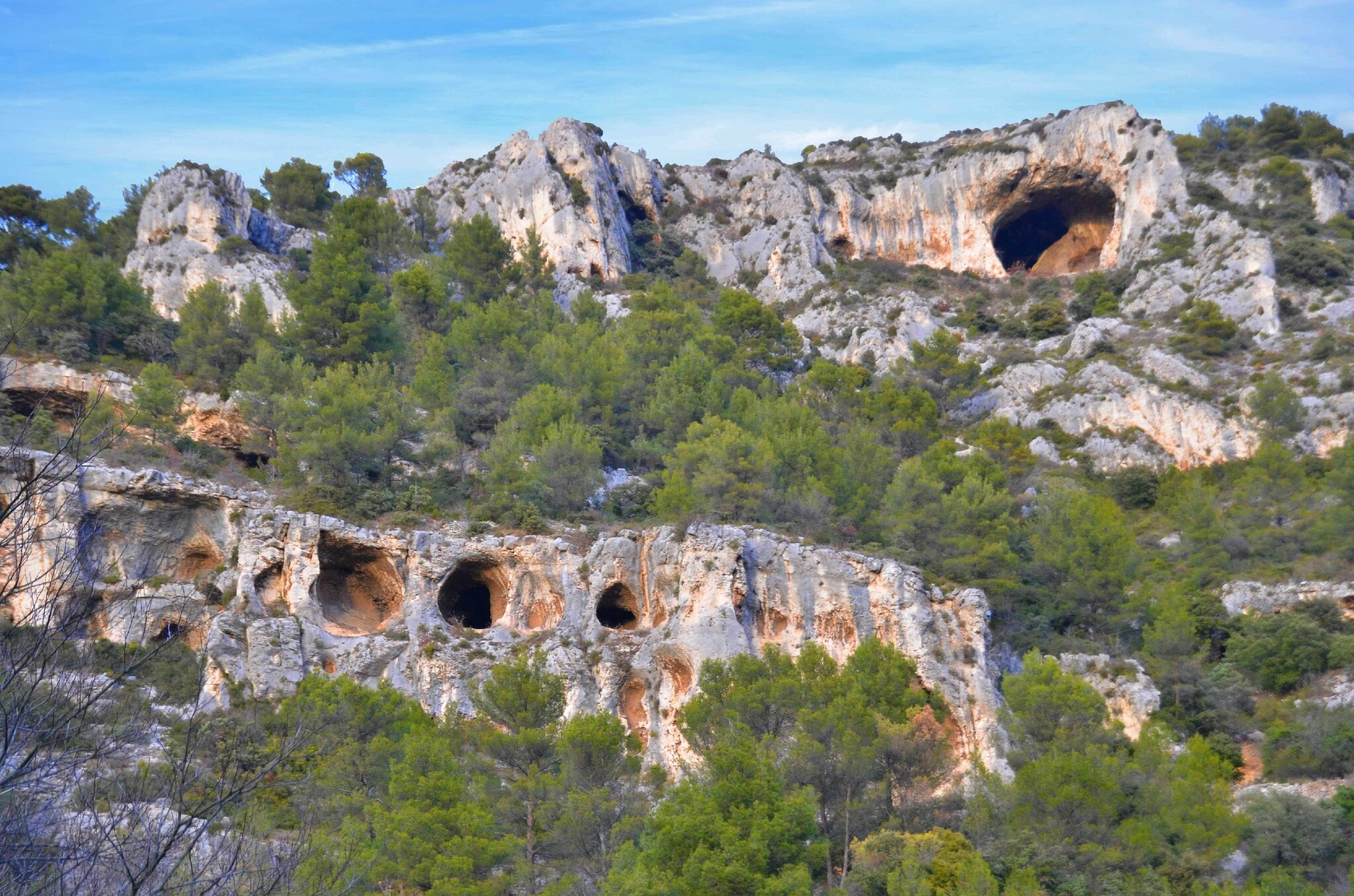
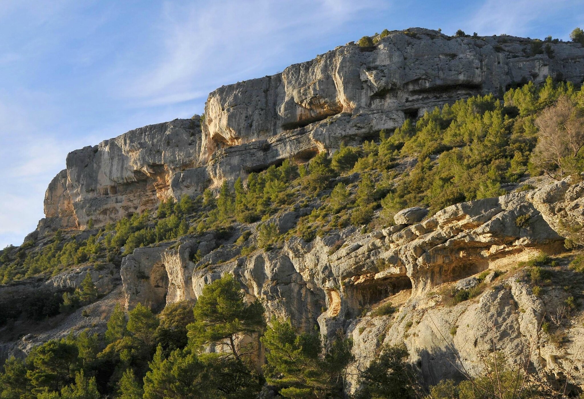
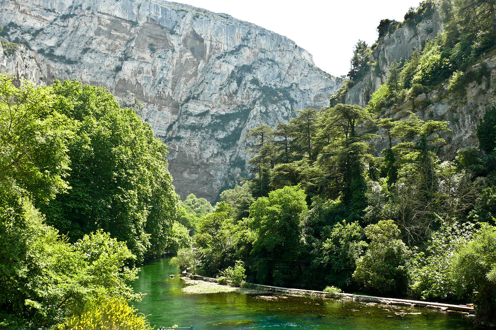
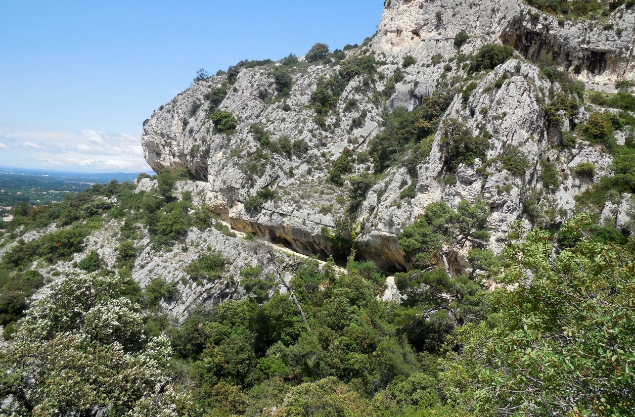
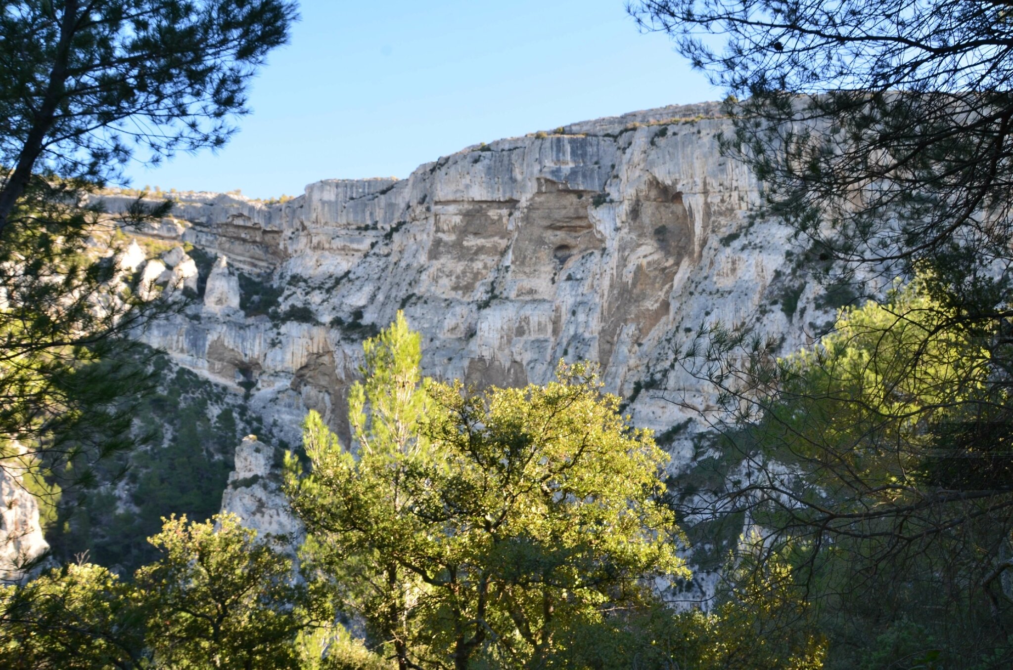
Walk above the village of Fontaine-de-Vaucluse, which offers splendid views of it and its surroundings.
However, the trail is difficult, due to some rocky passages and imprecise markings.

Already more than 200,000 users!
Uphill
491m
Highest point
549m
Downhill
491m
Lowest point
112m
Route type
Loop
Download the map on your smartphone to save battery and rest assured to always keep access to the route, even without signal.
Includes IGN France and Swisstopo.
I indicate whether dogs are allowed or prohibited on this trail
All year
0 ratings
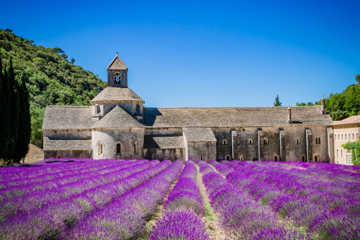
Also enjoy:

Already more than 200,000 users!