Uphill
620m
Length
14km
Duration
5h
Elev gain
620m
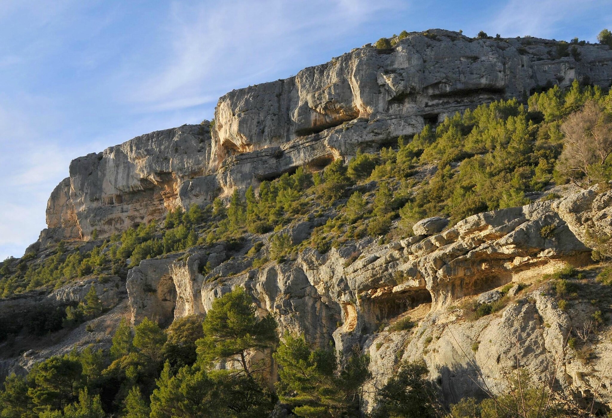
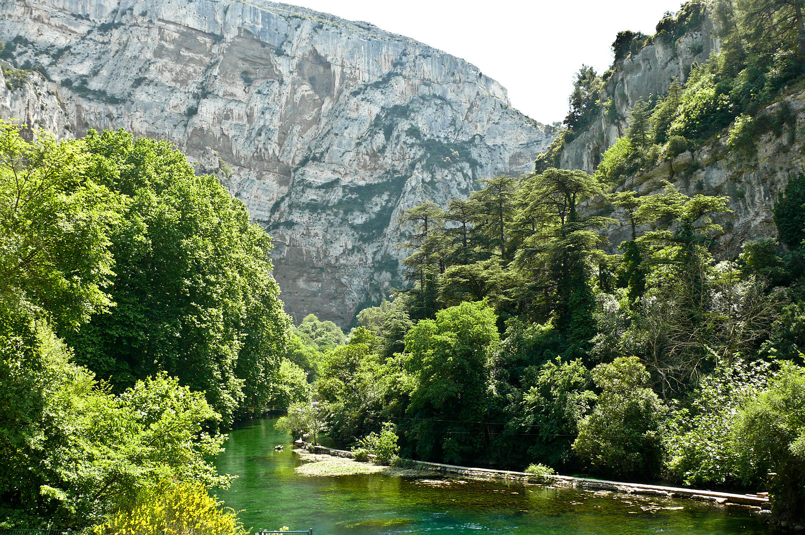
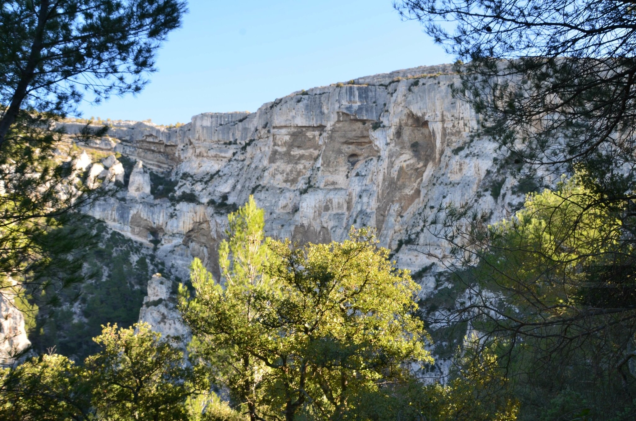
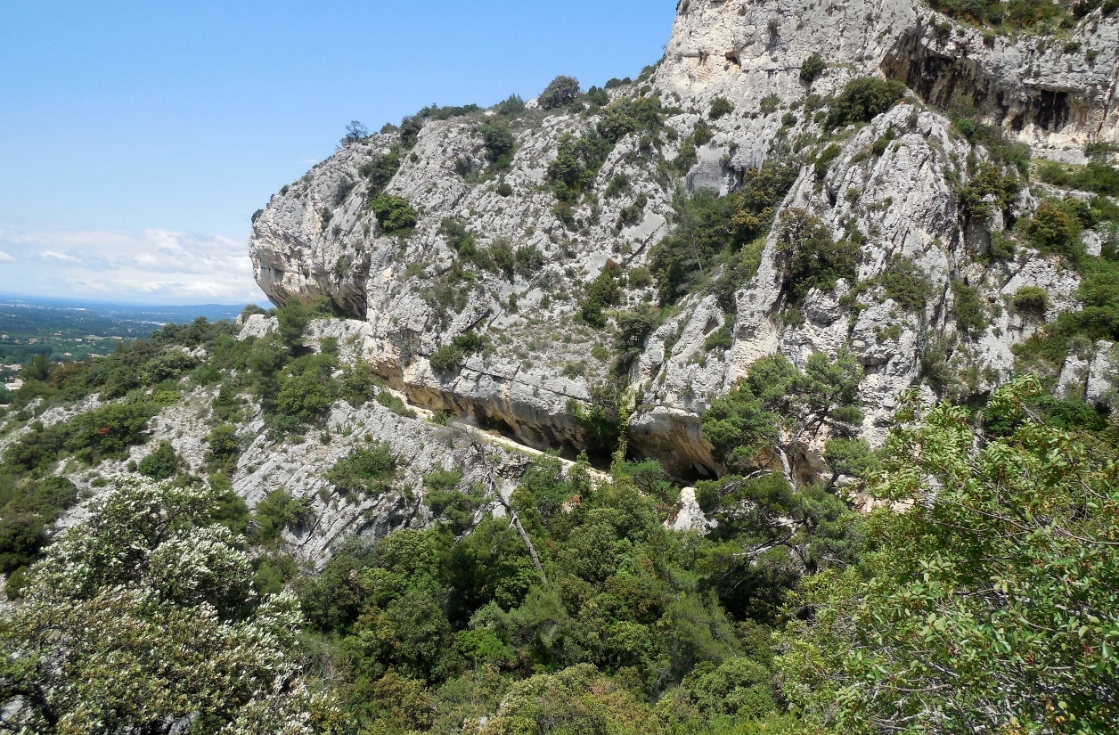
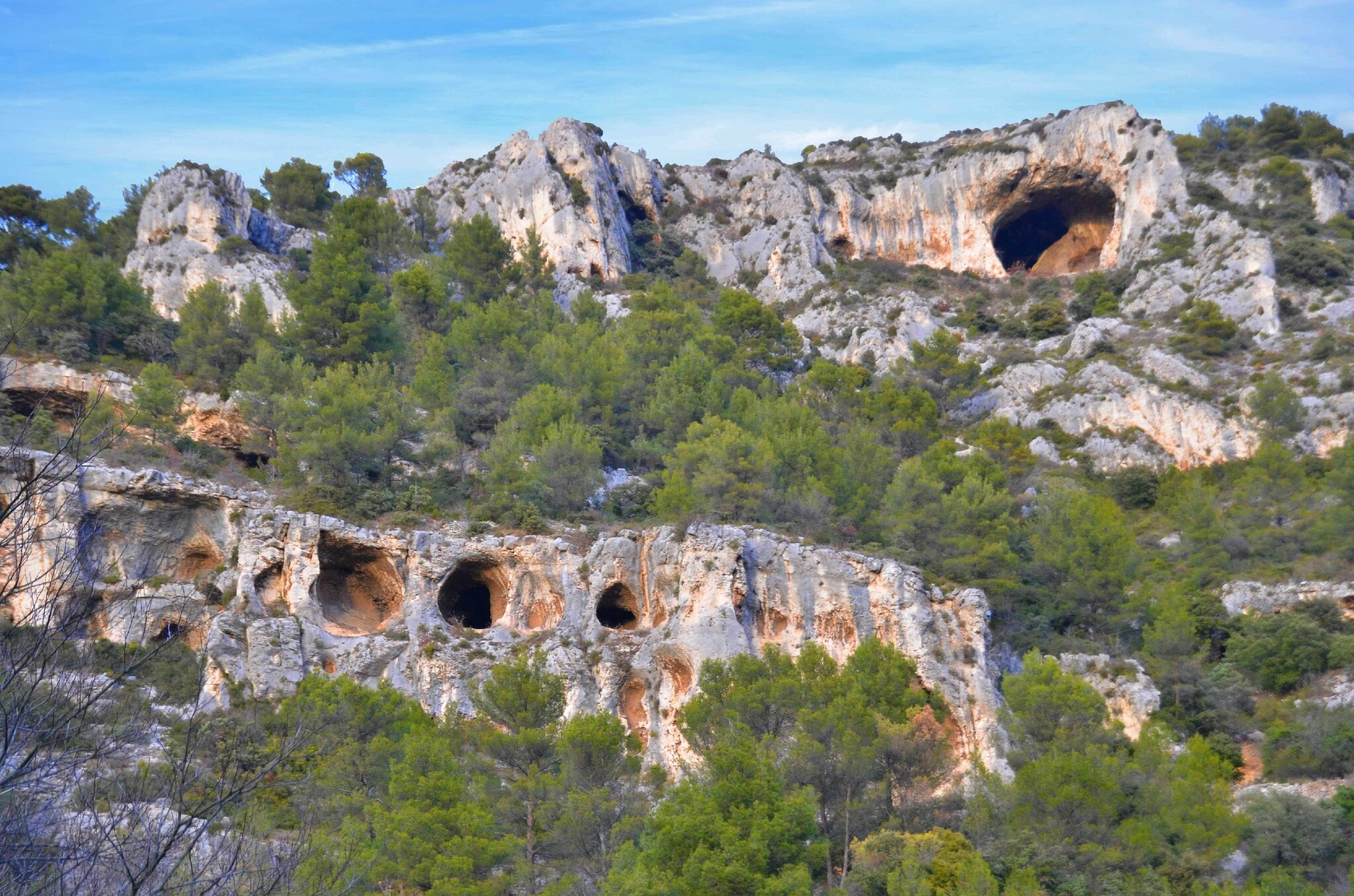
This is a hike around the Fontaine de Vaucluse, on paths less traveled than below. The route climbs up to a small plateau, in the forest, and offers lovely views of Mont Ventoux and the Mediterranean Sea.

Already more than 200,000 users!
Uphill
620m
Highest point
672m
Downhill
620m
Lowest point
84m
Route type
Loop
Download the map on your smartphone to save battery and rest assured to always keep access to the route, even without signal.
Includes IGN France and Swisstopo.
I indicate whether dogs are allowed or prohibited on this trail
All year
1 rating
Also enjoy:

Already more than 200,000 users!