Uphill
237m
Length
6km
Duration
2h
Elev gain
237m
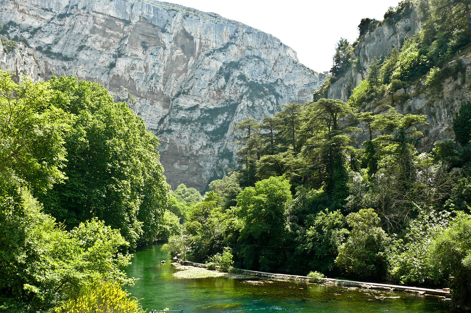
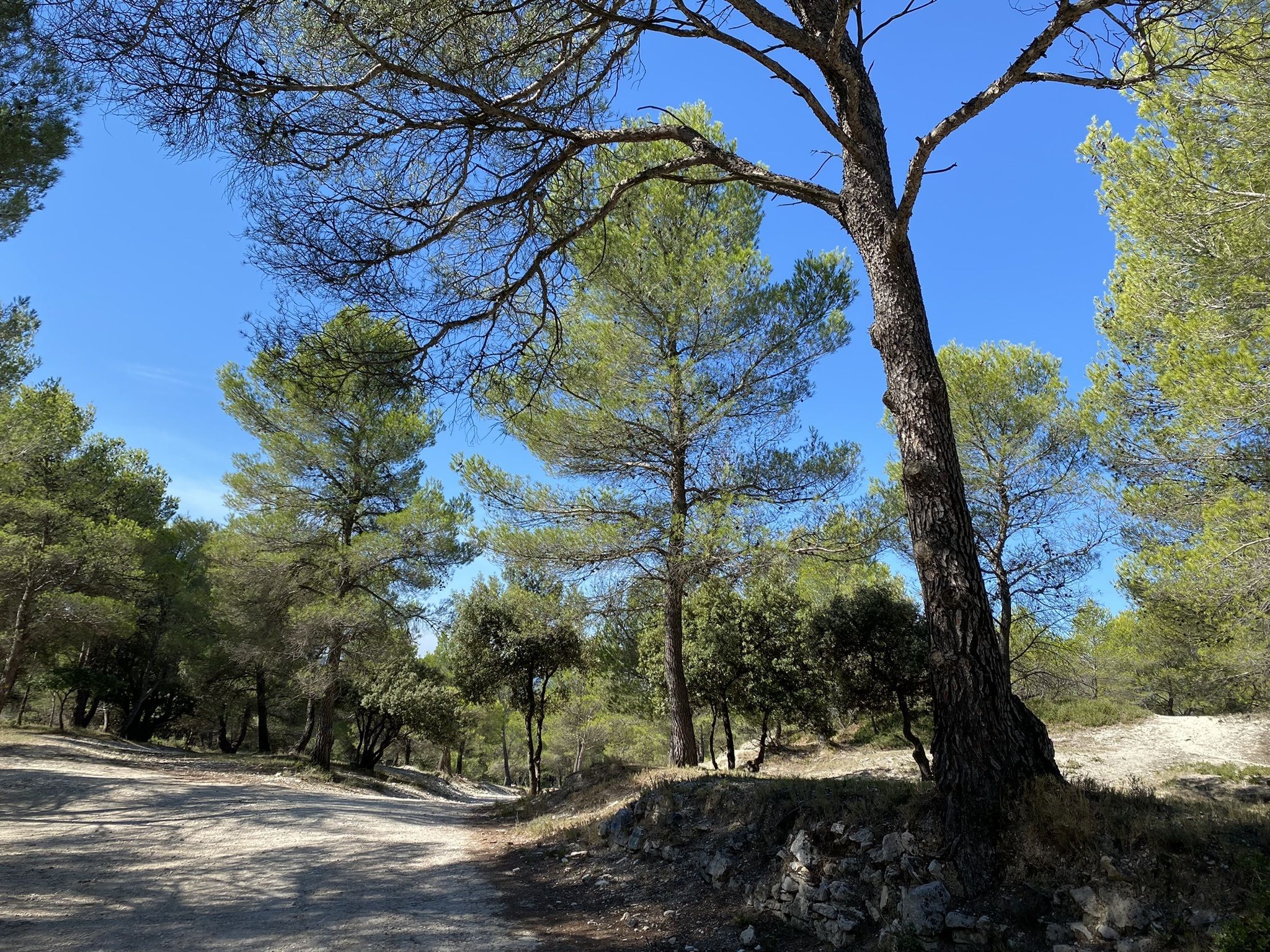
Departing from Fontaine-De-Vaucluse, here is a nice hike in the Valescure valley. The route takes mainly wide tracks, with however a bit slippery passage on the descent.

Already more than 200,000 users!
Uphill
237m
Highest point
326m
Downhill
237m
Lowest point
84m
Route type
Loop
Download the map on your smartphone to save battery and rest assured to always keep access to the route, even without signal.
Includes IGN France and Swisstopo.
I indicate whether dogs are allowed or prohibited on this trail
All year
2 ratings
Also enjoy:

Already more than 200,000 users!