Uphill
172m
France > Provence-Alpes-Côte d'Azur > Vaucluse > Mont-Ventoux Regional Natural Park
Length
7km
Duration
2h
Elev gain
172m
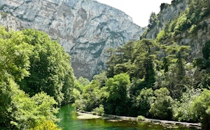
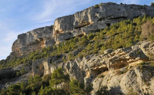
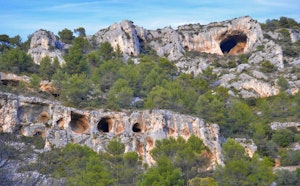
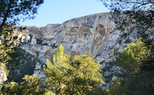
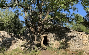
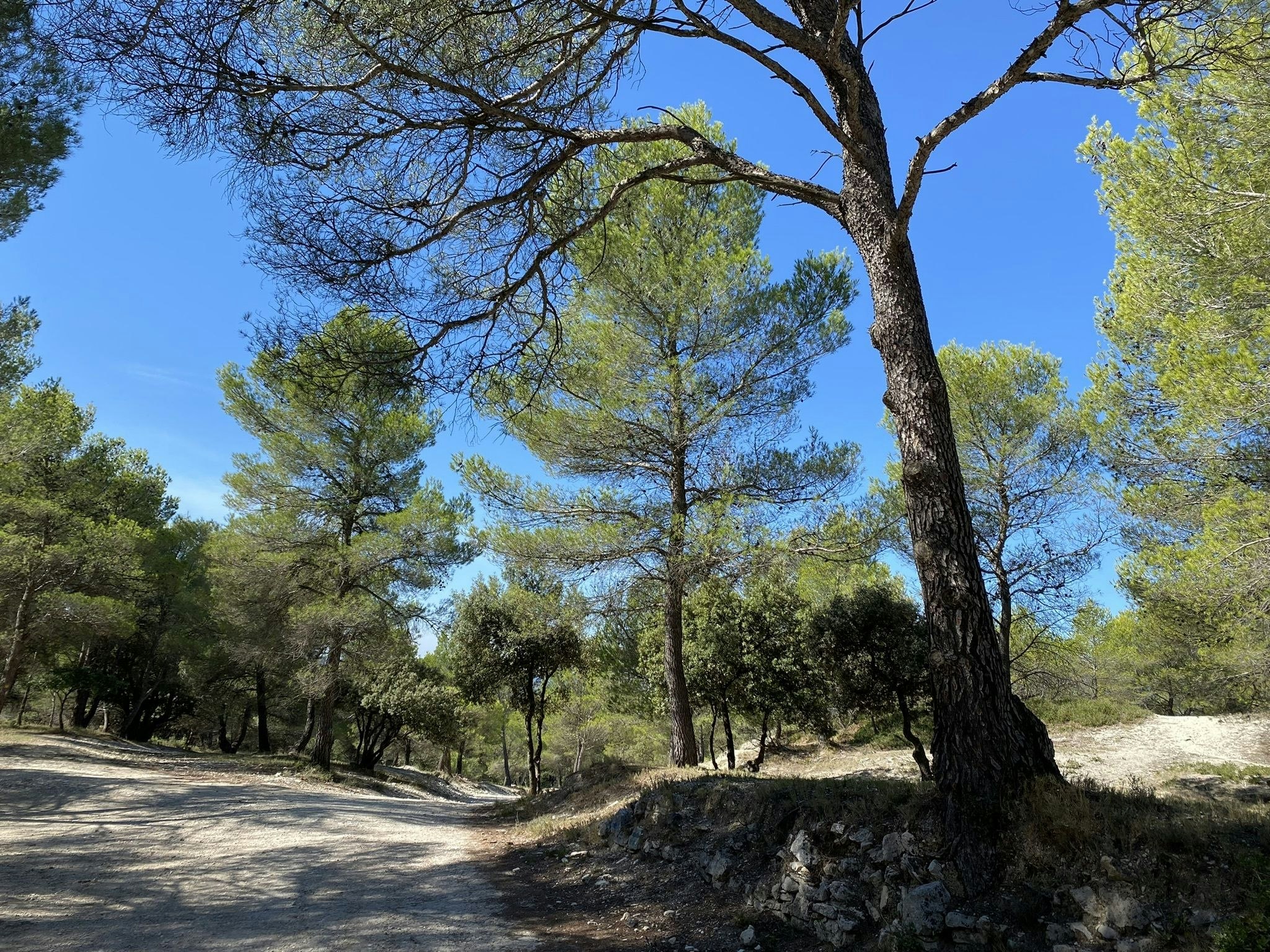
Pleasant hike near Pernes-les-Fontaines. The path makes a beautiful loop and alternates between forest and fields, all in a calm and soothing environment.
Note that there is a passage of one kilometer on the road.

Already more than 200,000 users!
Uphill
172m
Highest point
178m
Downhill
172m
Lowest point
87m
Route type
Loop
Download the map on your smartphone to save battery and rest assured to always keep access to the route, even without signal.
Includes IGN France and Swisstopo.
1 rating
Also enjoy:

Already more than 200,000 users!