Uphill
238m
France > Provence-Alpes-Côte d'Azur > Vaucluse > Mont-Ventoux Regional Natural Park
Length
7km
Duration
2h30min
Elev gain
238m
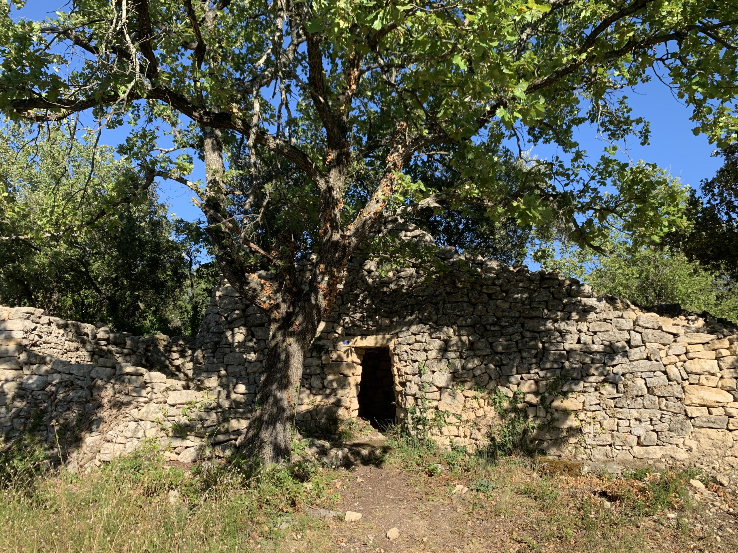
This walk from Mazan allows you to discover constructions made using the dry stone technique around the 18th and 19th centuries. Huts, walls, enclosures, are thus highlighted by explanatory panels.

Already more than 200,000 users!
Uphill
238m
Highest point
340m
Downhill
238m
Lowest point
177m
Route type
Loop
Download the map on your smartphone to save battery and rest assured to always keep access to the route, even without signal.
Includes IGN France and Swisstopo.
I indicate whether dogs are allowed or prohibited on this trail
All year
4 ratings
Un tracé très bien indiquée. Très belle balade
Also enjoy:

Already more than 200,000 users!