Uphill
235m
France > Provence-Alpes-Côte d'Azur > Vaucluse > Mont-Ventoux Regional Natural Park
Length
6km
Duration
2h
Elev gain
235m
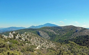
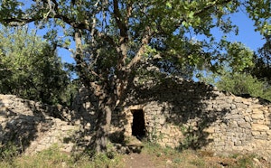
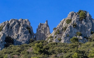
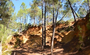
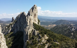
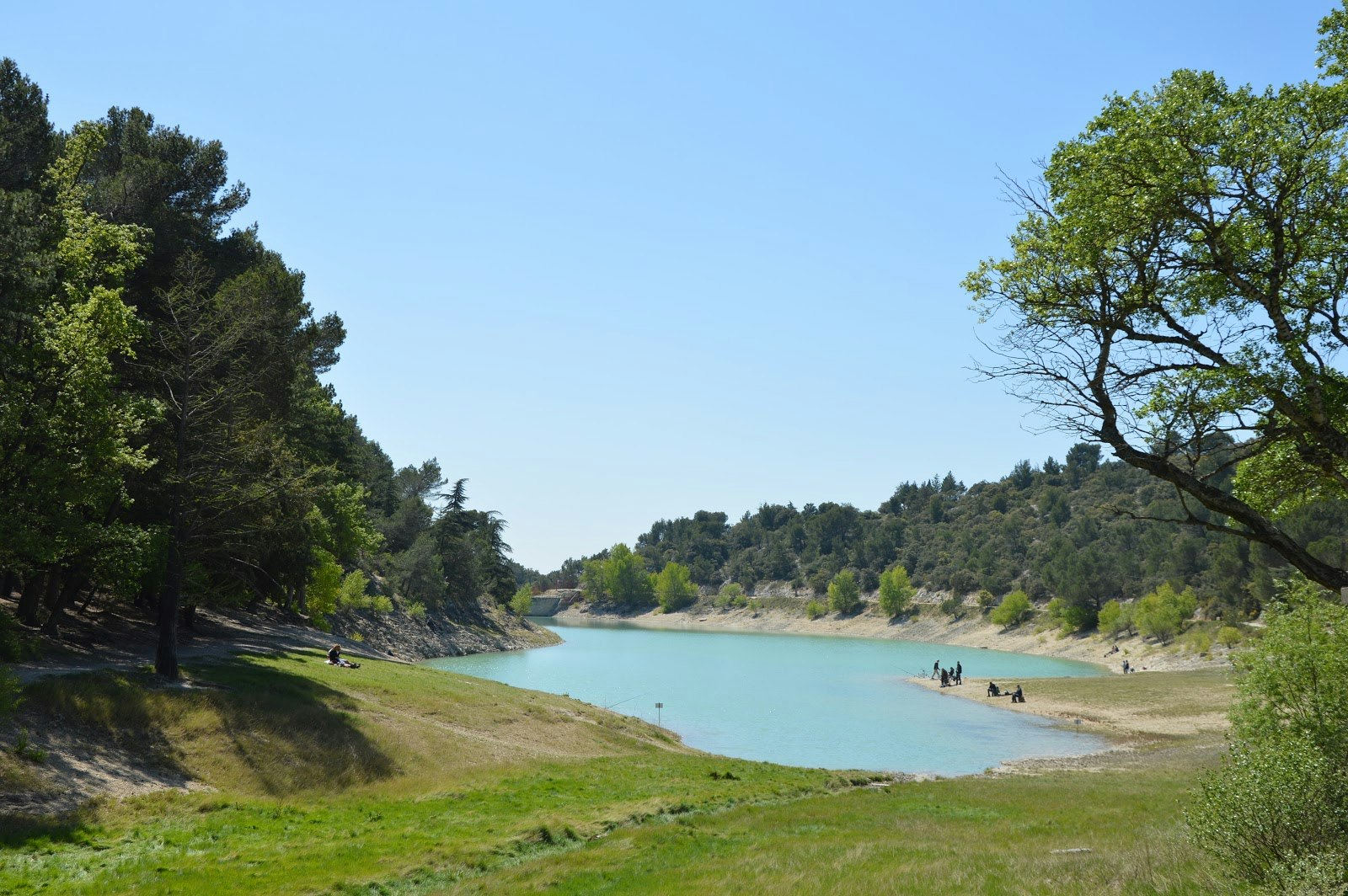
Stroll passing by the lake of Paty, the chapel of Notre-Dame du Paty, and allowing to discover the pretty Mediterranean vegetation covering this hilly landscape.

Already more than 200,000 users!
Uphill
235m
Highest point
473m
Downhill
235m
Lowest point
227m
Route type
Loop
Download the map on your smartphone to save battery and rest assured to always keep access to the route, even without signal.
Includes IGN France and Swisstopo.
I indicate whether dogs are allowed or prohibited on this trail
All year
2 ratings
Bien faire dans le bon sens car d’en t qui grimpe bien
Also enjoy:

Already more than 200,000 users!