Uphill
315m
Length
5km
Duration
2h
Elev gain
315m
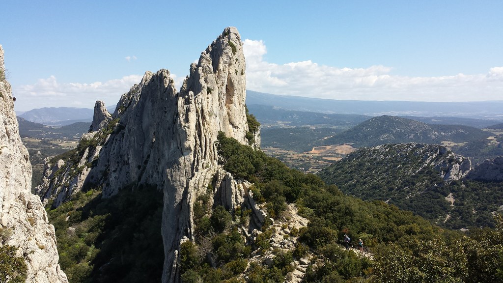
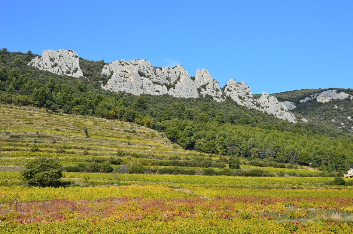
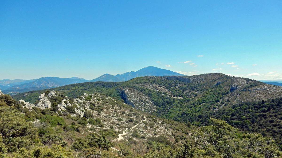
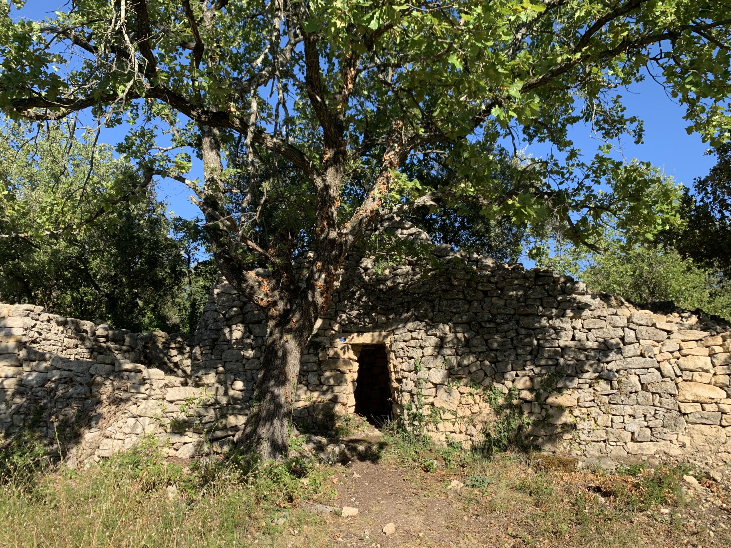
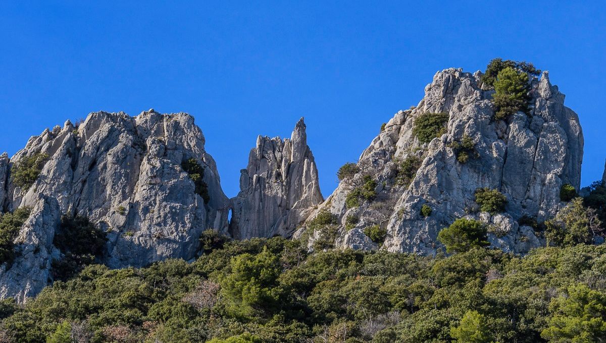
Beautiful hike that leads to the foot of the Dentelles de Montmirail. After a steep climb to the Rocher du Midi, the view is spectacular.
Note: some stony passages are close to climbing and require good footwear.

Already more than 200,000 users!
Uphill
315m
Highest point
616m
Downhill
315m
Lowest point
304m
Route type
Loop
Download the map on your smartphone to save battery and rest assured to always keep access to the route, even without signal.
Includes IGN France and Swisstopo.
I indicate whether dogs are allowed or prohibited on this trail
All year
0 ratings
Also enjoy:

Already more than 200,000 users!