Uphill
506m
France > Provence-Alpes-Côte d'Azur > Vaucluse
Length
9km
Duration
4h
Elev gain
506m
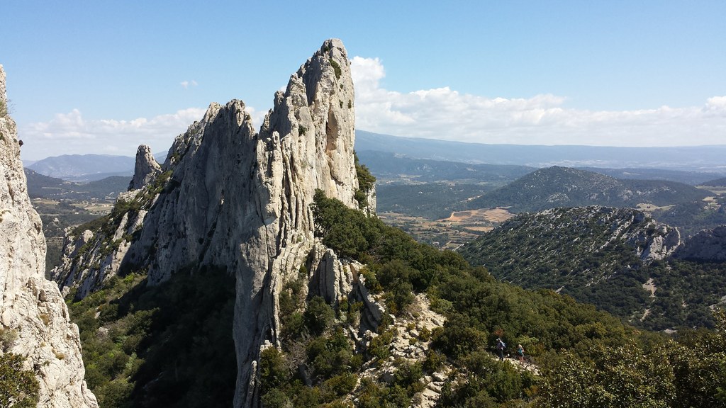
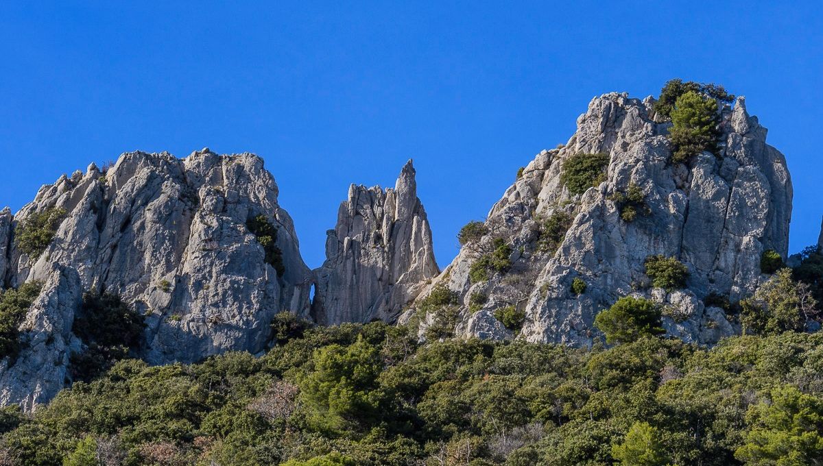
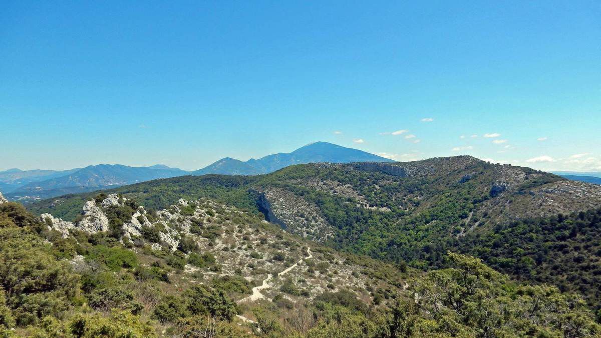
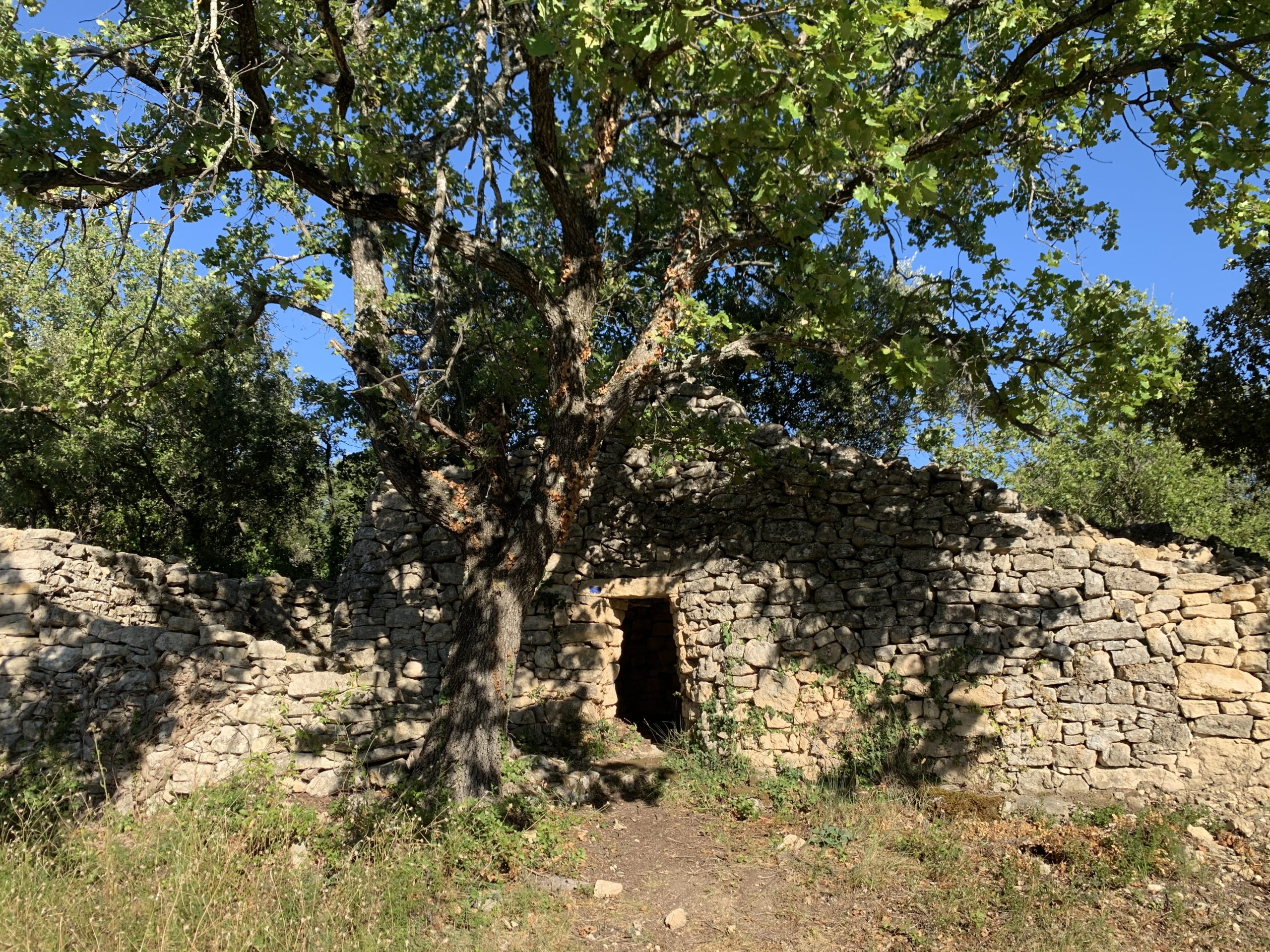
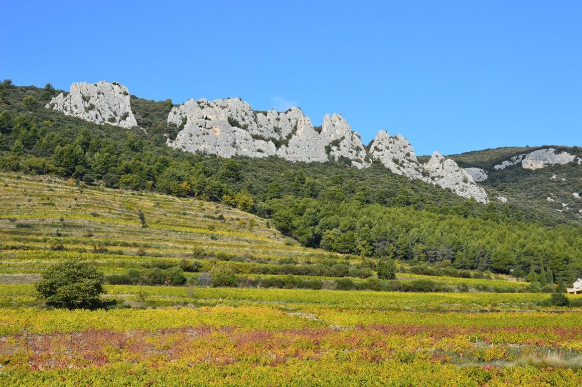
Here is a sporty and technical hike that is worth the detour. Departing from Gigondas, the route makes a loop at the foot of the cliffs of the Dentelles de Montmirail massif and passes through the Midi and Turk rocks, as well as the Cayron pass. The view of the Pourra is spectacular.

Already more than 200,000 users!
Uphill
506m
Highest point
607m
Downhill
506m
Lowest point
230m
Route type
Loop
Download the map on your smartphone to save battery and rest assured to always keep access to the route, even without signal.
Includes IGN France and Swisstopo.
I indicate whether dogs are allowed or prohibited on this trail
All year
0 ratings
Also enjoy:

Already more than 200,000 users!