Uphill
100m

Length
4km
Duration
1h
Elev gain
100m
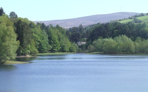
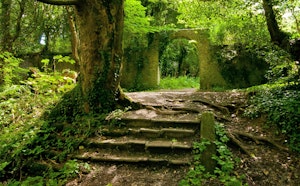
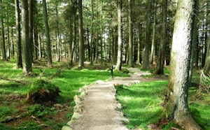
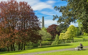
This is a great and easy loop around Saggart Hill also known as Slievethoul, in the Dublin Mountains. The trail is easy and well-maintained following a gravel road and narrow footpaths. The surroundings are quiet and the forest is calming; there are historical landmarks near the route that might be worth the detour. The views on the rolling hills when the trees open are very nice. The flora of the woodlands is rich and hikers might even spot deers amongst the trees. This is a family friendly walk.

Already more than 200,000 users!
Uphill
100m
Highest point
388m
Downhill
100m
Lowest point
308m
Route type
Loop
Download the map on your smartphone to save battery and rest assured to always keep access to the route, even without signal.
Includes IGN France and Swisstopo.
I indicate whether dogs are allowed or prohibited on this trail
All year
0 ratings
Also enjoy:

Already more than 200,000 users!