Uphill
735m
Length
8km
Duration
5h
Elev gain
735m
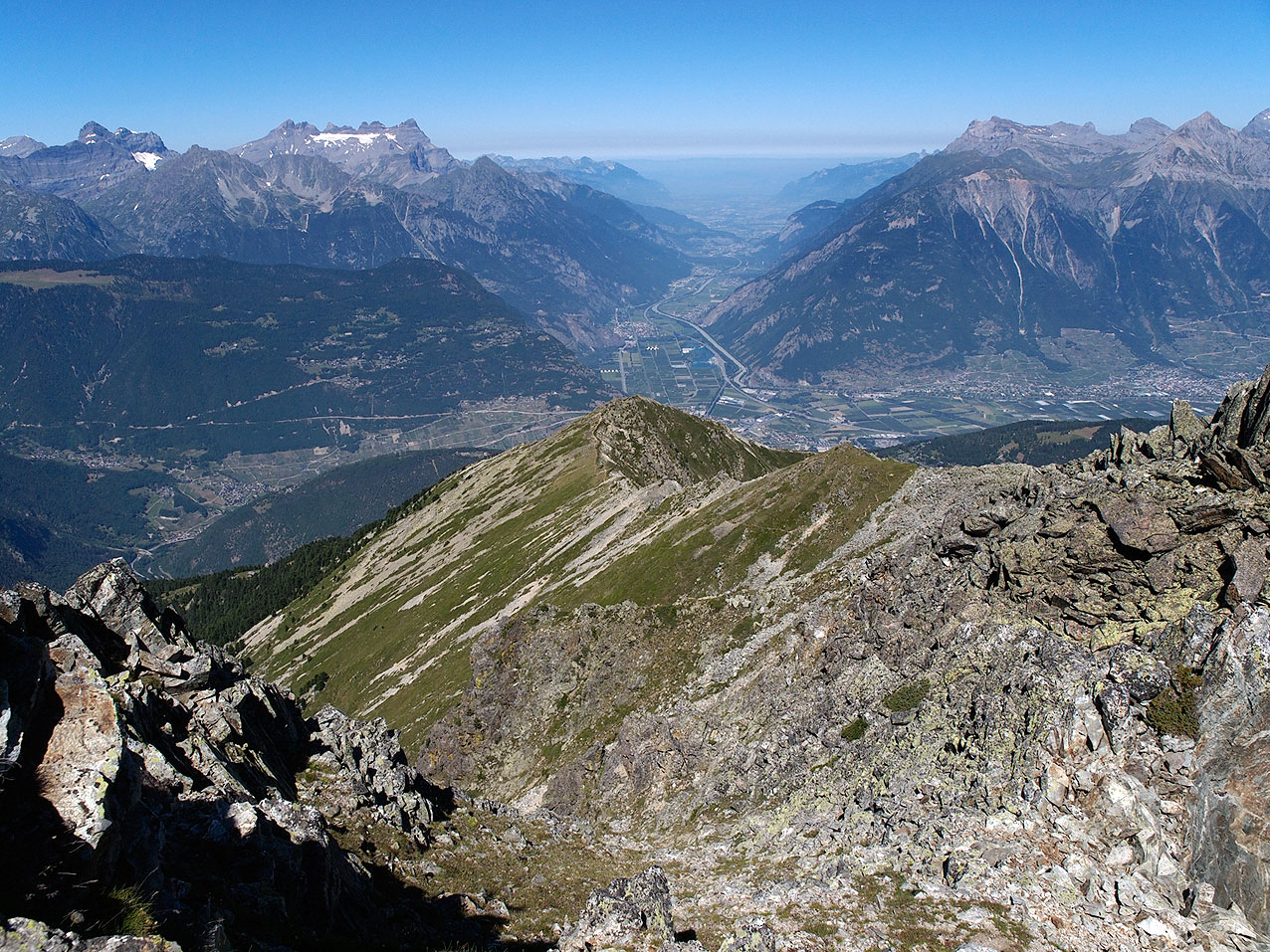
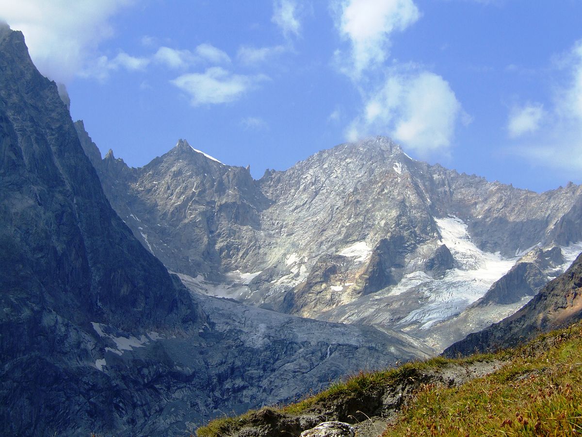
Ascent of the Col du Grand Ferret, located between the canton of Valais in Switzerland and the Aosta Valley in Italy. This route is a section of the Tour du Mont Blanc. Between bridges, rivers, woods and pastures, this hike takes place in a peaceful and calm natural setting.

Already more than 200,000 users!
Uphill
735m
Highest point
2525m
Downhill
735m
Lowest point
1786m
Route type
There and back
Download the map on your smartphone to save battery and rest assured to always keep access to the route, even without signal.
Includes IGN France and Swisstopo.
I indicate whether dogs are allowed or prohibited on this trail
From June to September
0 ratings
Also enjoy:

Already more than 200,000 users!