Uphill
1313m
Length
10km
Duration
8h30min
Elev gain
1313m
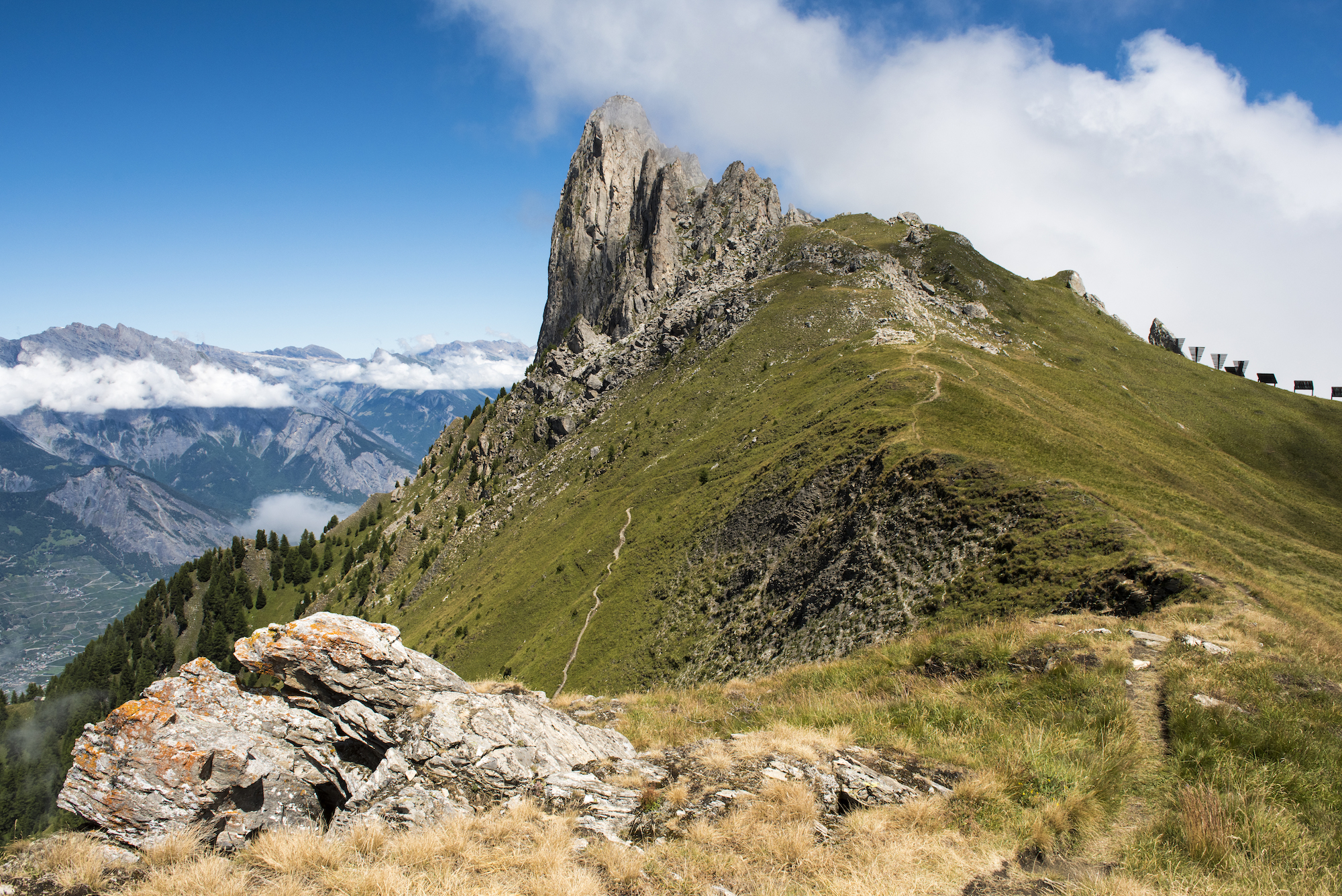
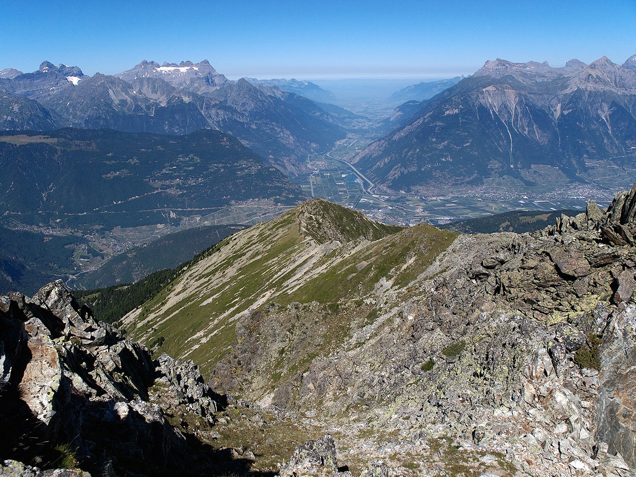
Hike to conquer Mount Catogne, culminating at 2,598 meters above sea level and known for its volcano-like shape. From Champex, this route only goes uphill. Once at the top, the view opens up over the Rhône valley, the Mont-Blanc massif, the Grand Combin, the Velan and the Dents du Midi. In short, a superb hike that is worth the detour!

Already more than 200,000 users!
Uphill
1313m
Highest point
2569m
Downhill
1313m
Lowest point
1457m
Route type
There and back
Download the map on your smartphone to save battery and rest assured to always keep access to the route, even without signal.
Includes IGN France and Swisstopo.
I indicate whether dogs are allowed or prohibited on this trail
From June to September
0 ratings
Also enjoy:

Already more than 200,000 users!