Uphill
745m
Length
12km
Duration
5h30min
Elev gain
745m
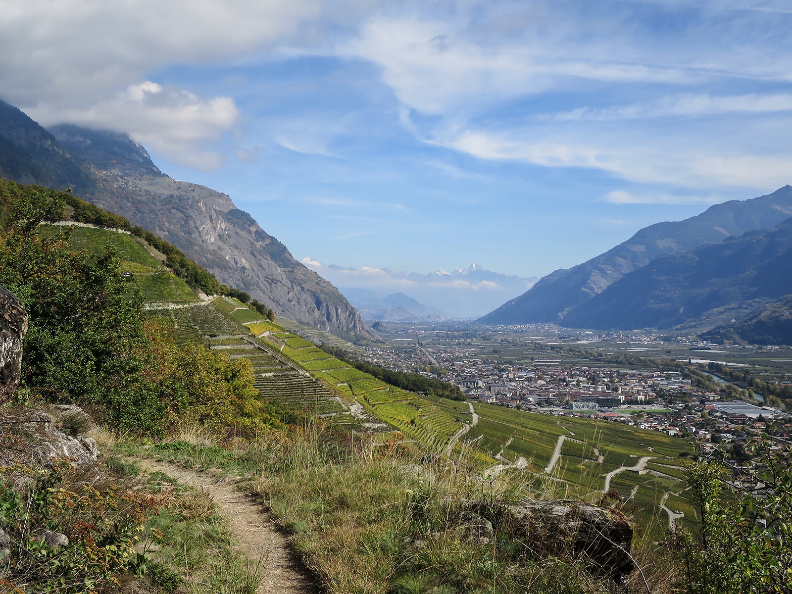
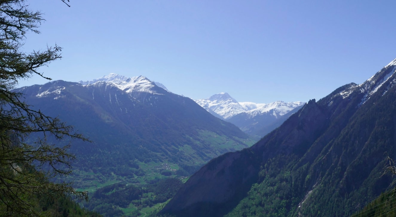
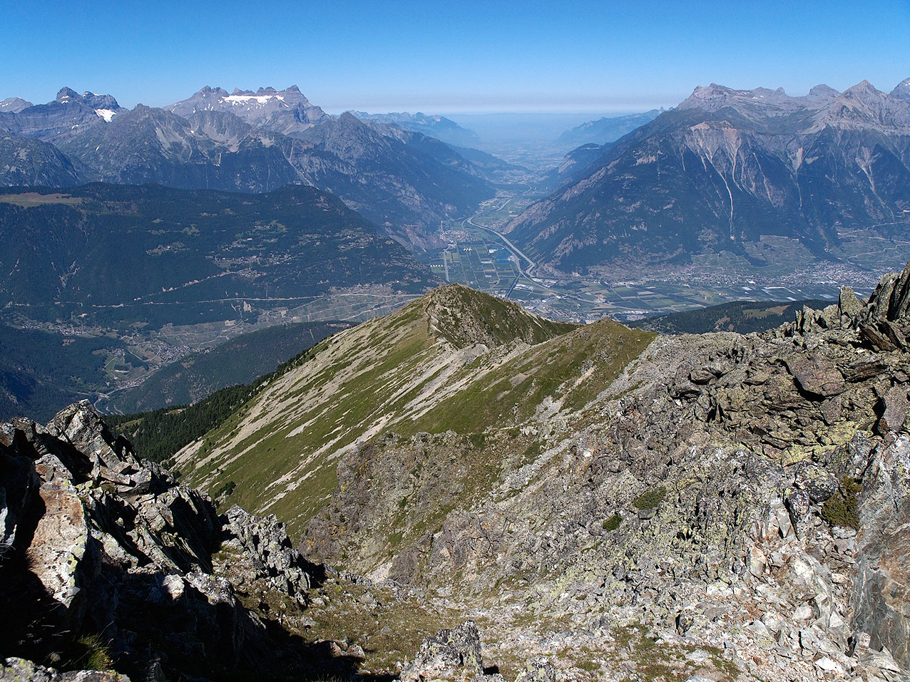
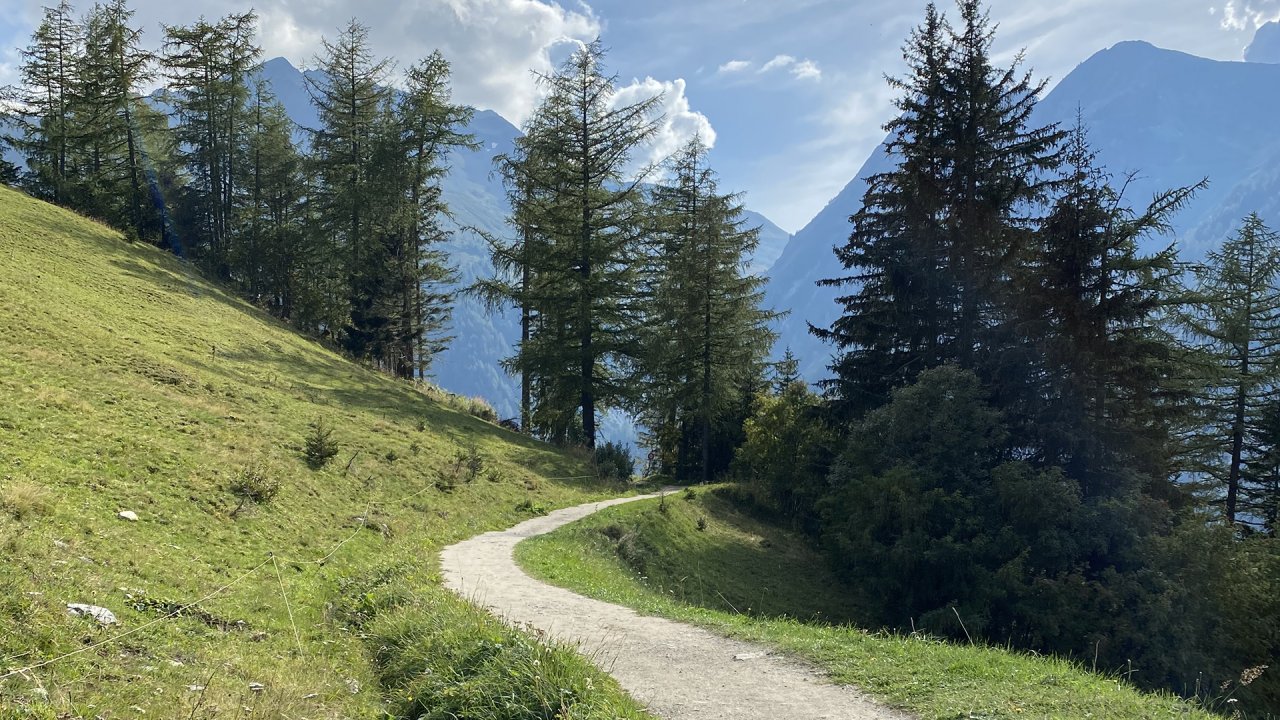
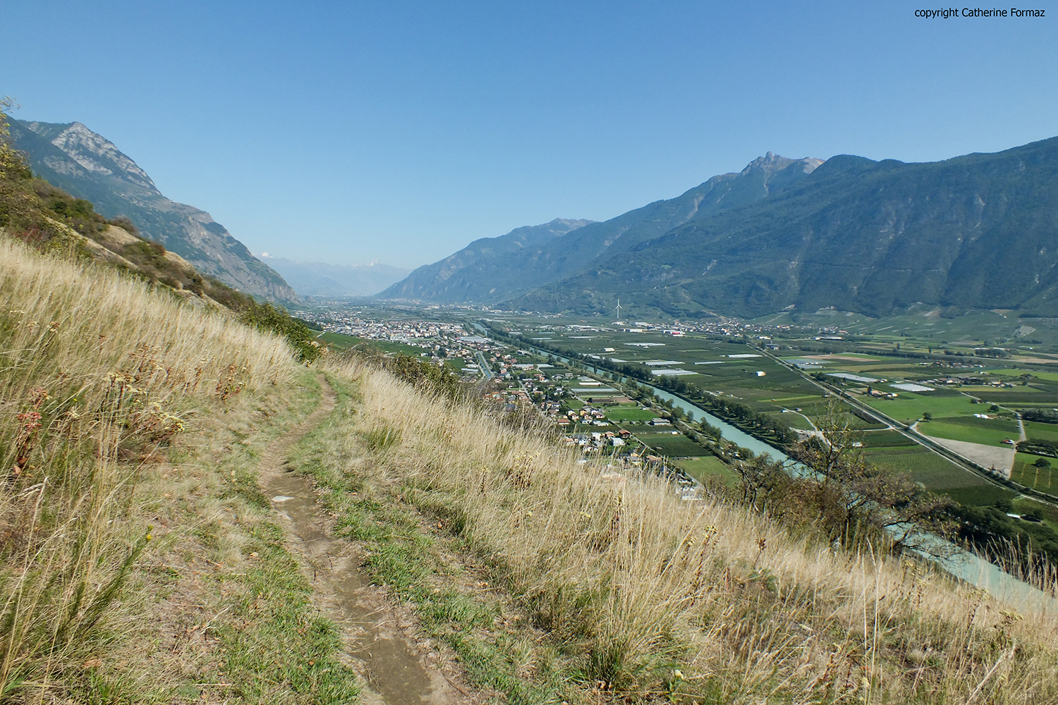
The start of this pretty hike is on the banks of the Rhône, in Branson. The course quickly gains height on a beautiful path to offer superb views of the surroundings. It then descends and then runs along the Rhône until it returns to the starting point.

Already more than 200,000 users!
Uphill
745m
Highest point
1014m
Downhill
745m
Lowest point
446m
Route type
Loop
Download the map on your smartphone to save battery and rest assured to always keep access to the route, even without signal.
Includes IGN France and Swisstopo.
I indicate whether dogs are allowed or prohibited on this trail
Can be difficult in Winter
0 ratings
Also enjoy:

Already more than 200,000 users!