Uphill
146m
Length
4km
Duration
1h30min
Elev gain
146m
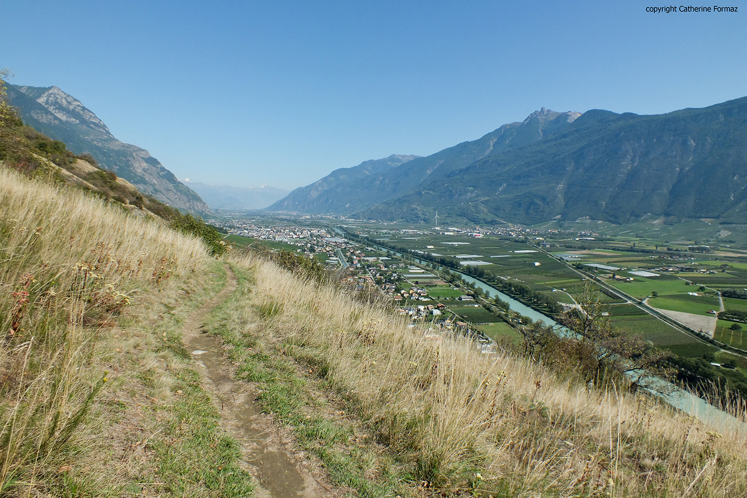
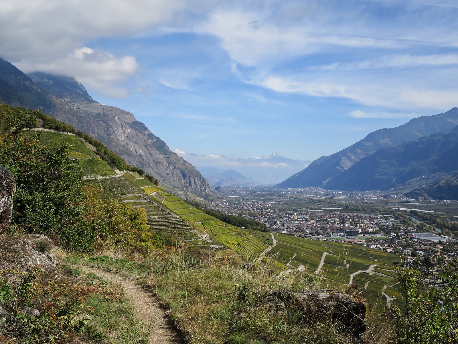
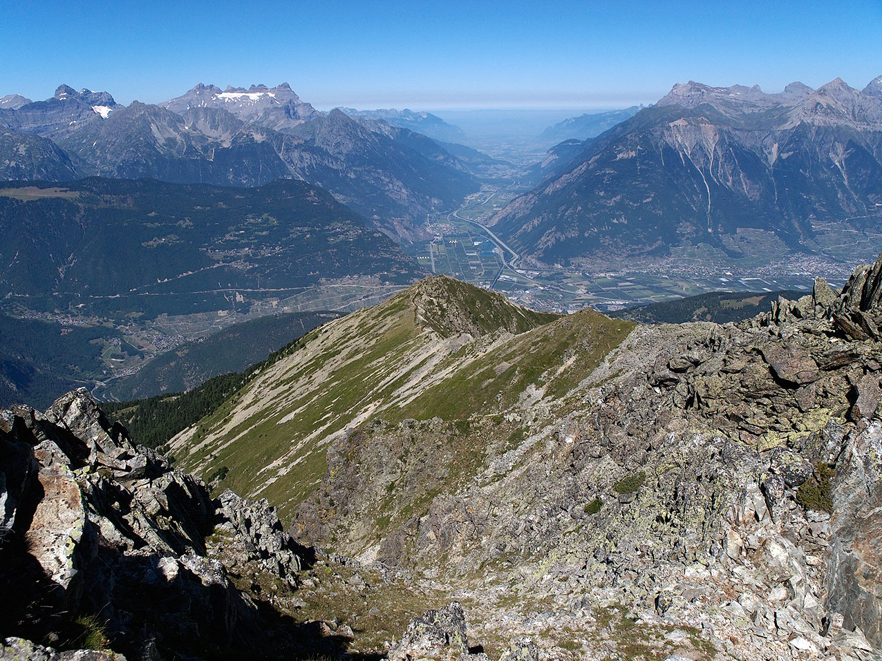
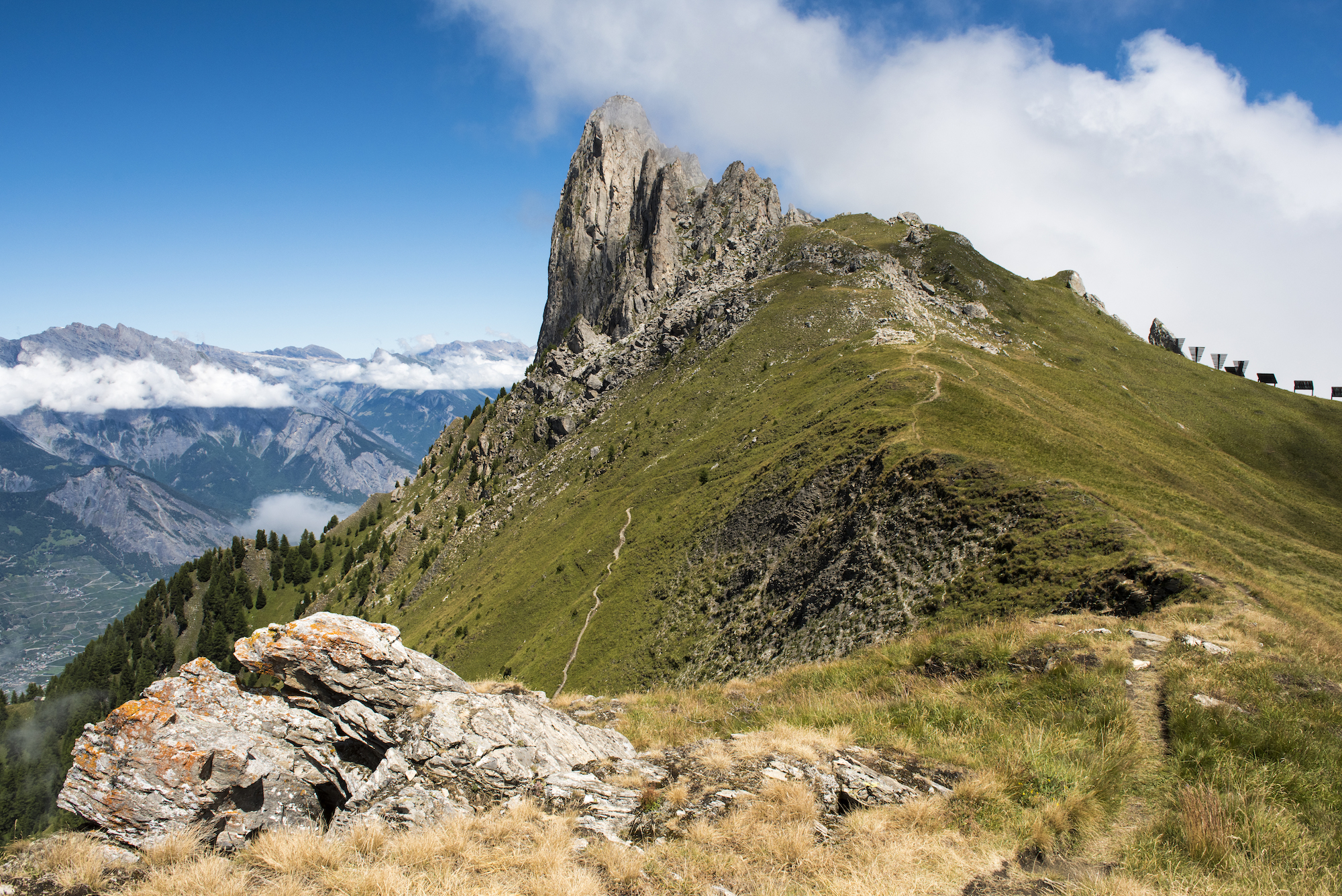
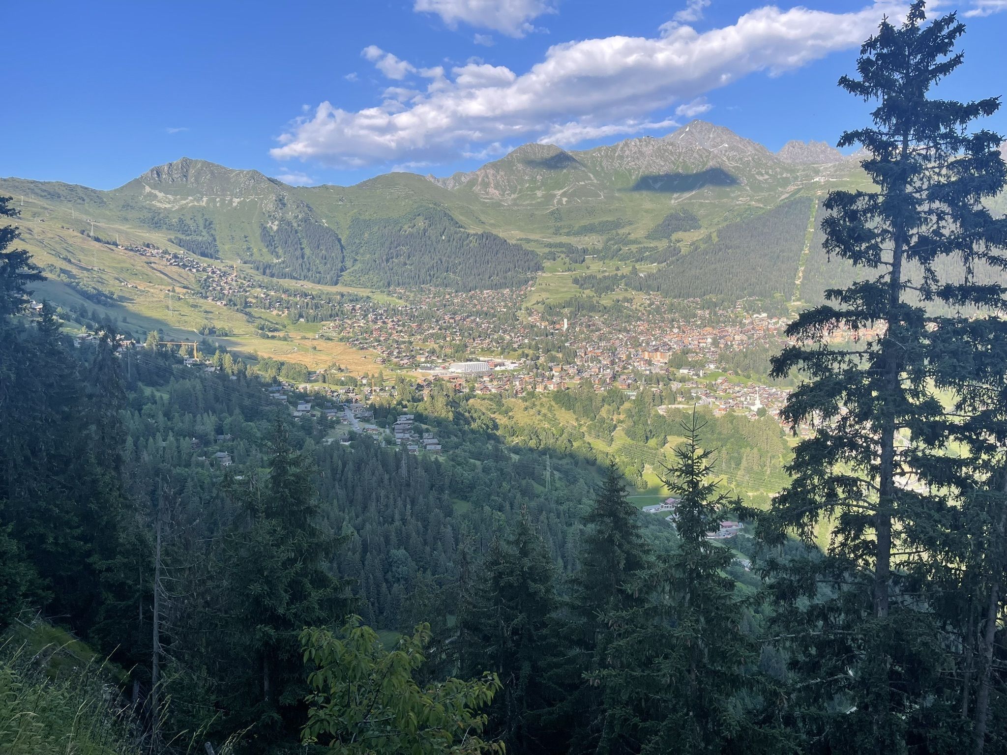
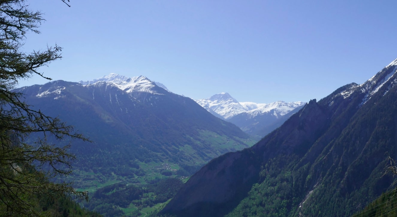
Family walk that begins at the Col des Planches, at an altitude of 1,410 metres. The route makes a loop on the site of an old mine, winds through the larches and offers very beautiful views of the surrounding mountains and the Rhône valley.

Already more than 200,000 users!
Uphill
146m
Highest point
1443m
Downhill
146m
Lowest point
1332m
Route type
Loop
Download the map on your smartphone to save battery and rest assured to always keep access to the route, even without signal.
Includes IGN France and Swisstopo.
I indicate whether dogs are allowed or prohibited on this trail
Can be difficult in Winter
1 rating
Une ambiance féérique exceptionnelle durant tout le parcours ! Les explications proches des points d’intérêts sont très intéressantes, surtout pour les petits curieux.
Je recommande vivement en famille ou entre amis, compter un tout petit peu plus longtemps, le temps de manger sur place et de prendre le temps de lire les grands panneaux explicatifs.
Facilement accessible en voiture et parking à disposition.
Also enjoy:

Already more than 200,000 users!