Uphill
244m
Length
6km
Duration
2h
Elev gain
244m
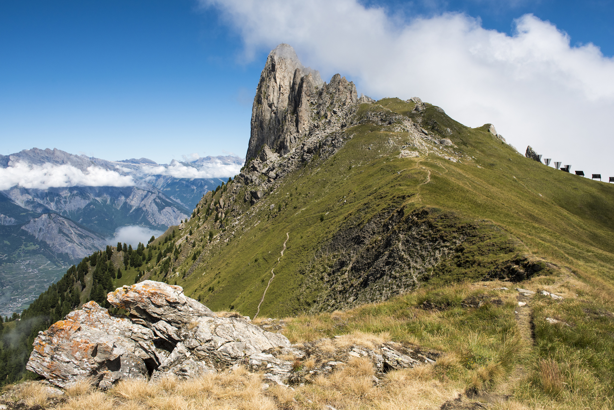
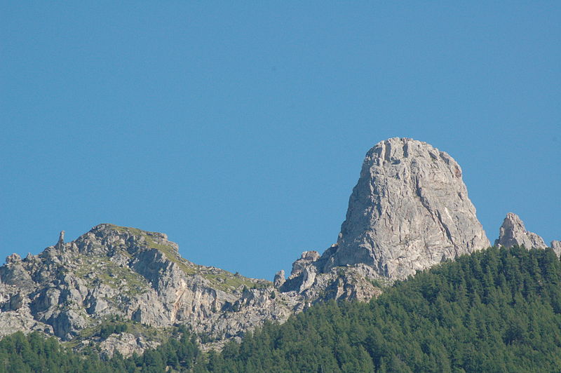
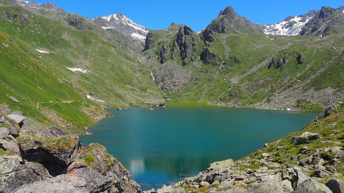
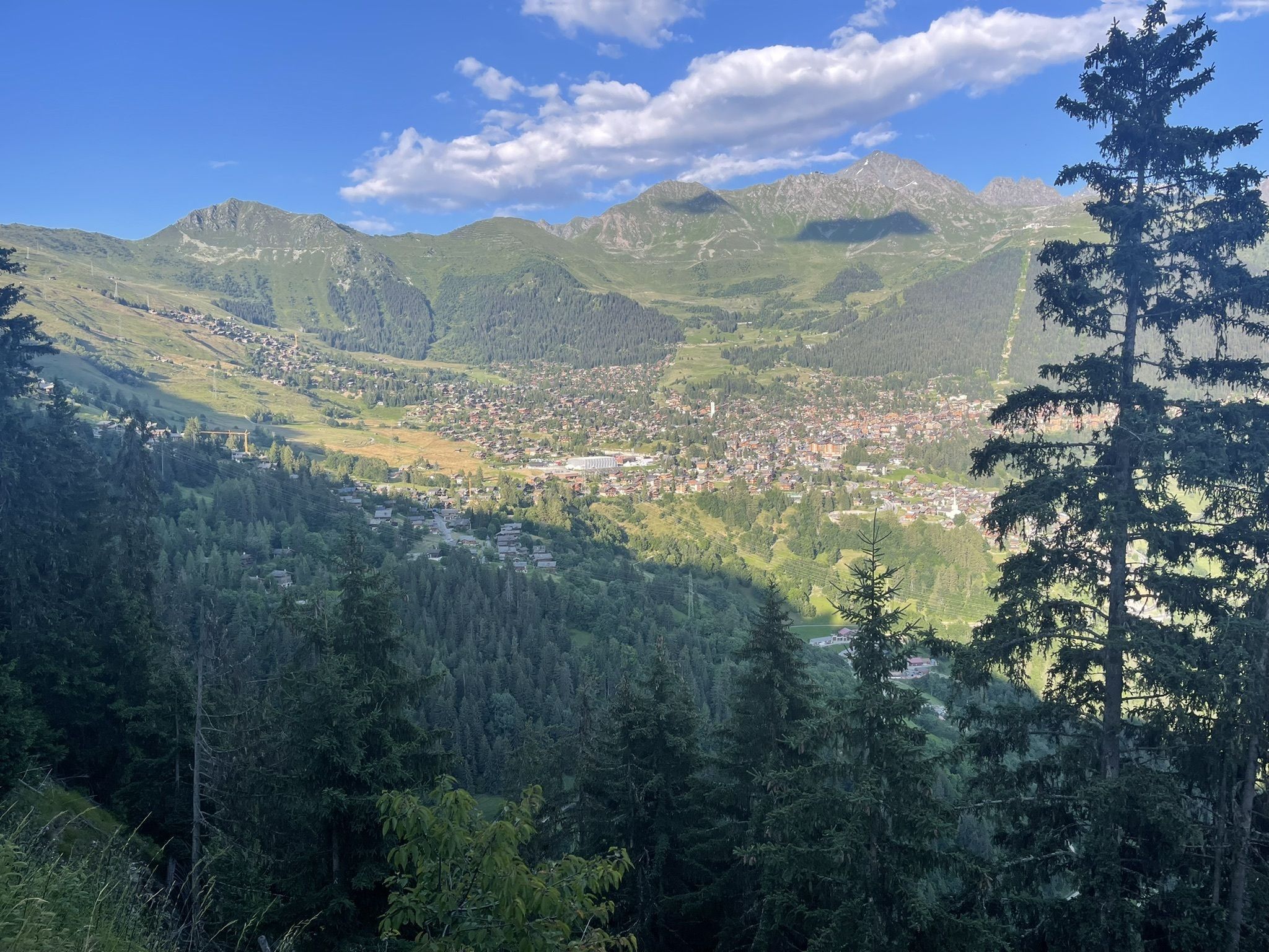
Departing from Verbier, this walk explores the Saint-Christophe chapel. The route crosses a forest until it comes to the chapel, which overlooks the village. The view over the Bagne valley and its peaks is superb.

Already more than 200,000 users!
Uphill
244m
Highest point
1582m
Downhill
244m
Lowest point
1449m
Route type
There and back
Download the map on your smartphone to save battery and rest assured to always keep access to the route, even without signal.
Includes IGN France and Swisstopo.
I indicate whether dogs are allowed or prohibited on this trail
Can be difficult in Winter
0 ratings
Also enjoy:

Already more than 200,000 users!