Uphill
506m
Length
10km
Duration
4h
Elev gain
506m
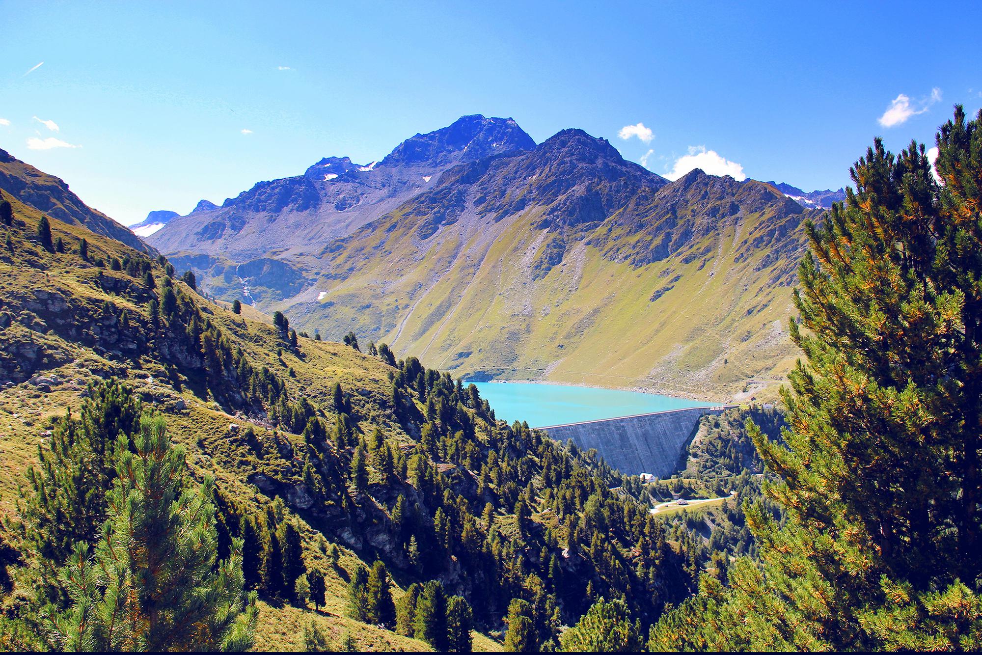
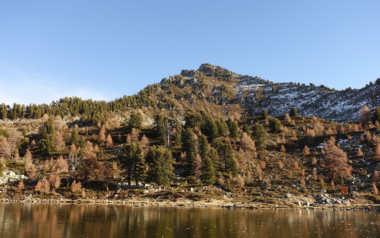
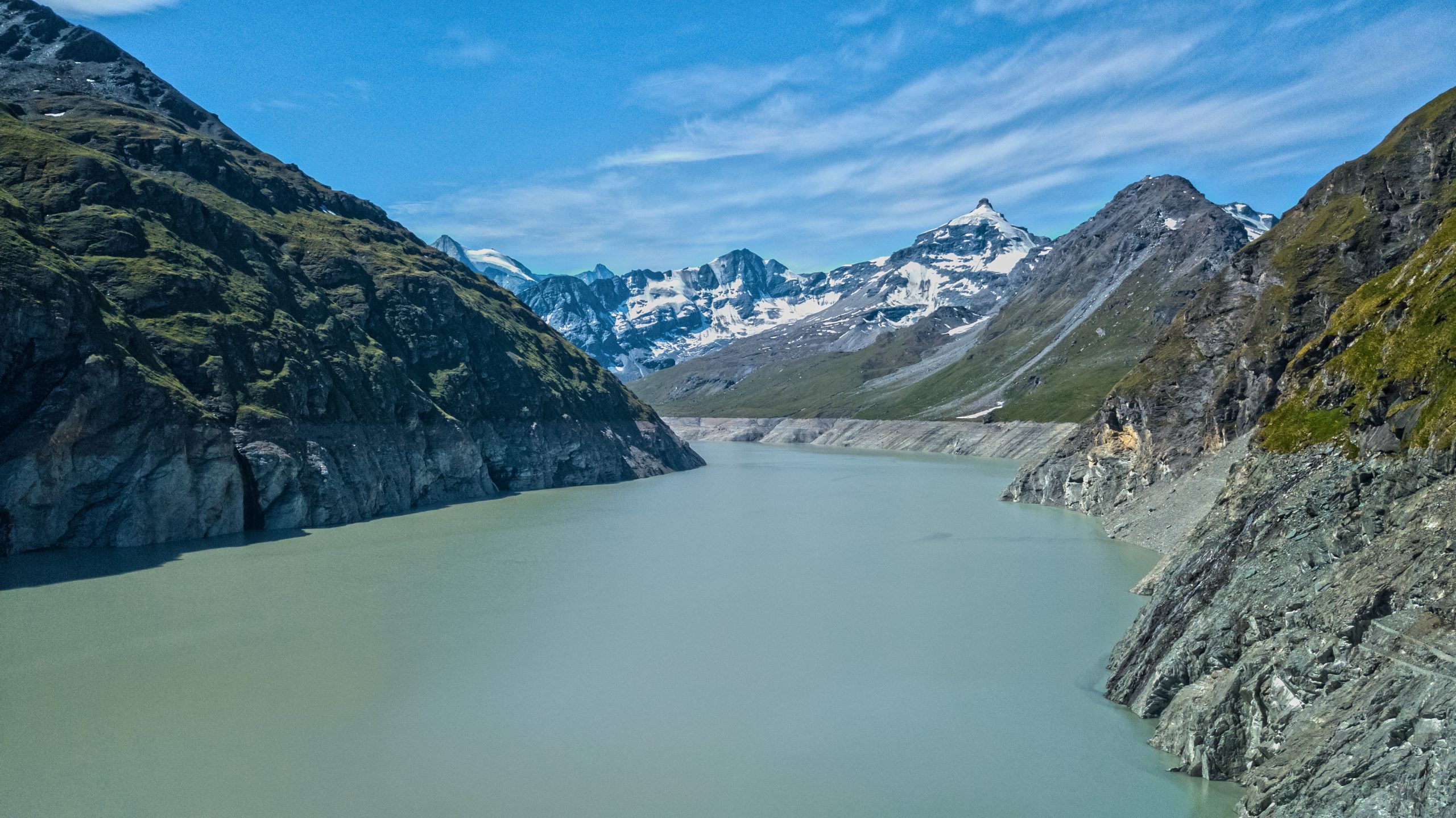
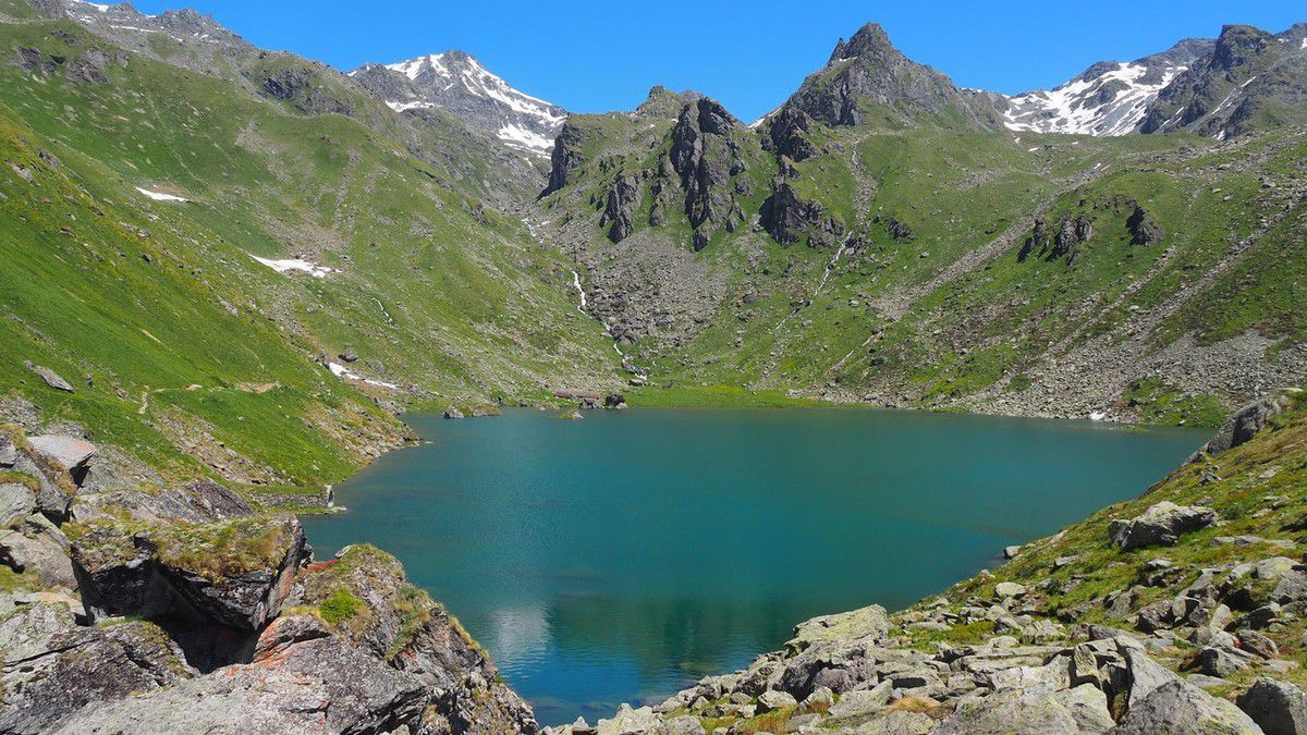
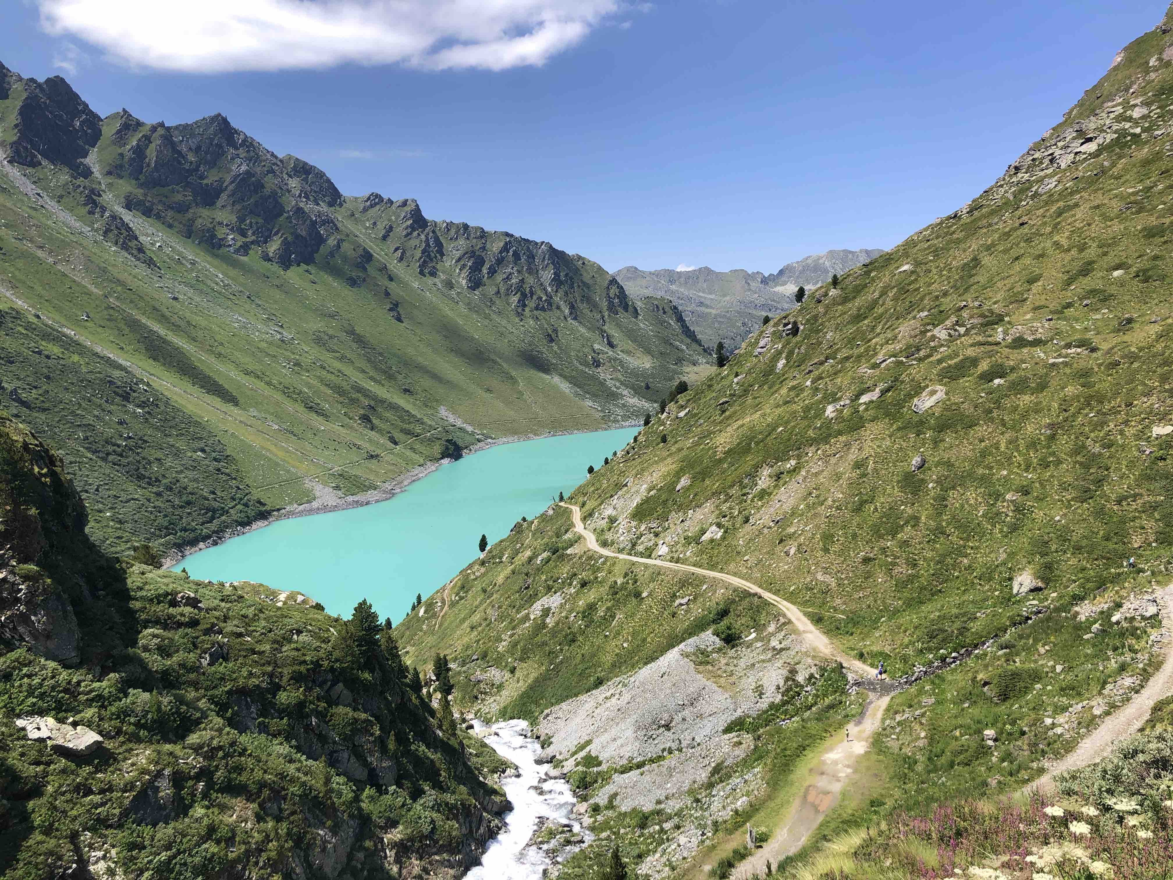
Starting from the pretty Lac de Cleuson, this hike makes a loop on the heights of Lourtier, known to be a crossing point of the Verbier Saint-Bernard trail. The path therefore runs along the first lake and then continues until it reaches the second lake, that of the Grand Desert.

Already more than 200,000 users!
Uphill
506m
Highest point
2653m
Downhill
506m
Lowest point
2184m
Route type
Loop
Download the map on your smartphone to save battery and rest assured to always keep access to the route, even without signal.
Includes IGN France and Swisstopo.
I indicate whether dogs are allowed or prohibited on this trail
From June to September
4 ratings
Also enjoy:

Already more than 200,000 users!