Uphill
607m
Length
9km
Duration
4h30min
Elev gain
607m
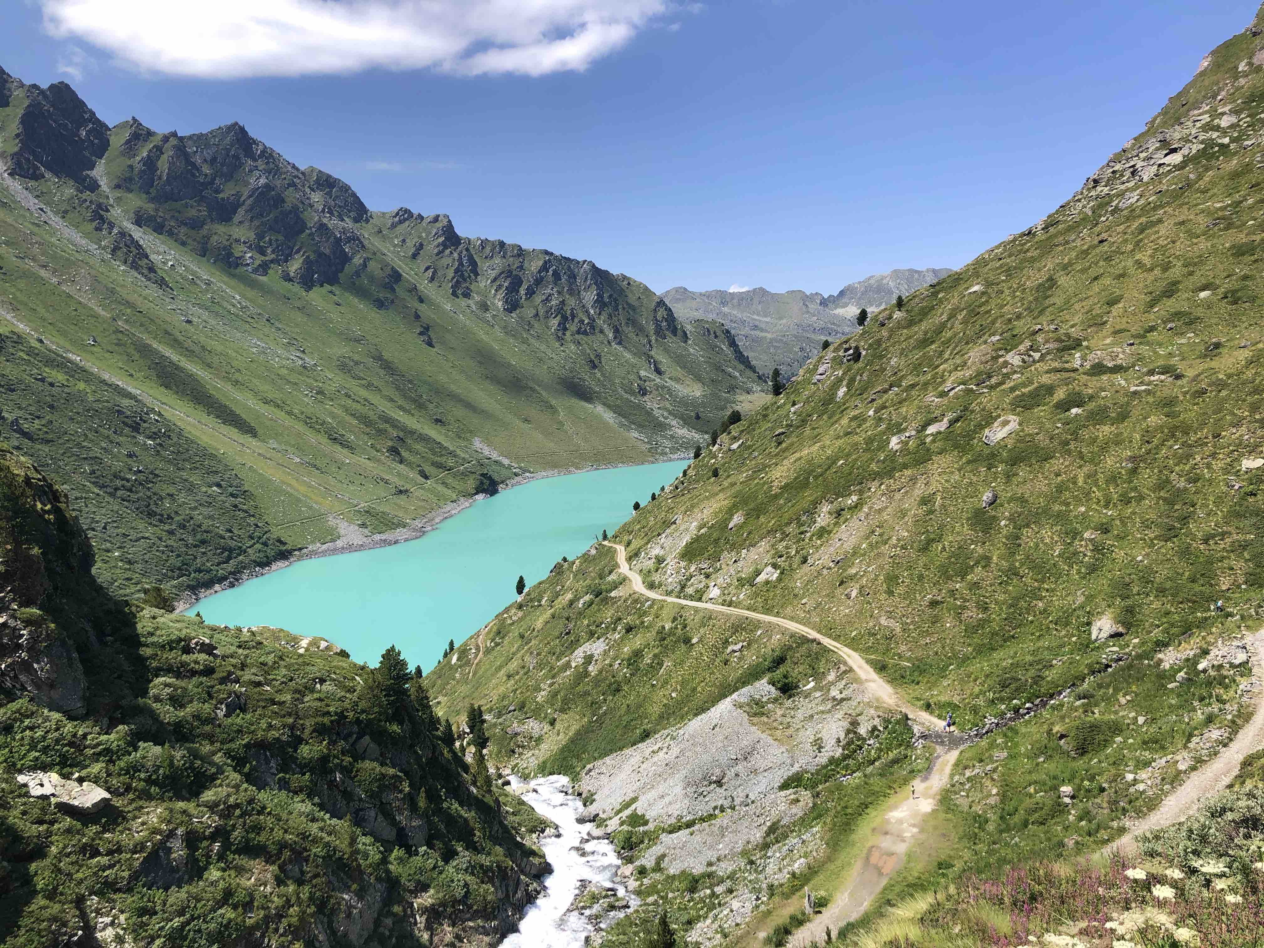
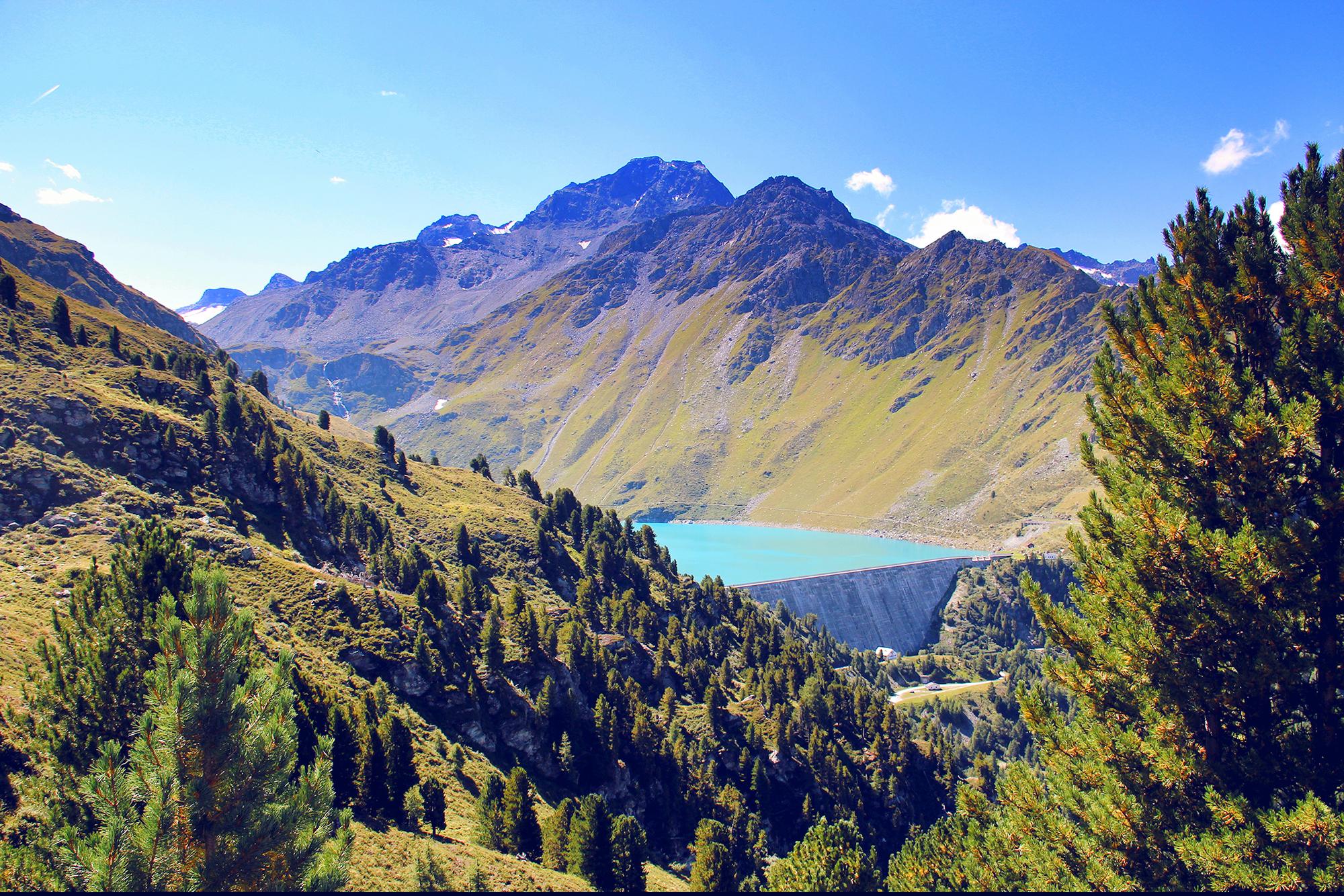
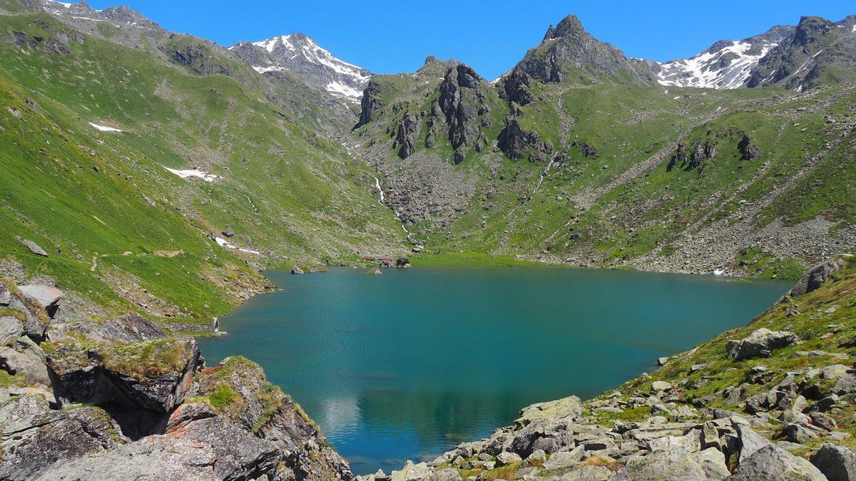
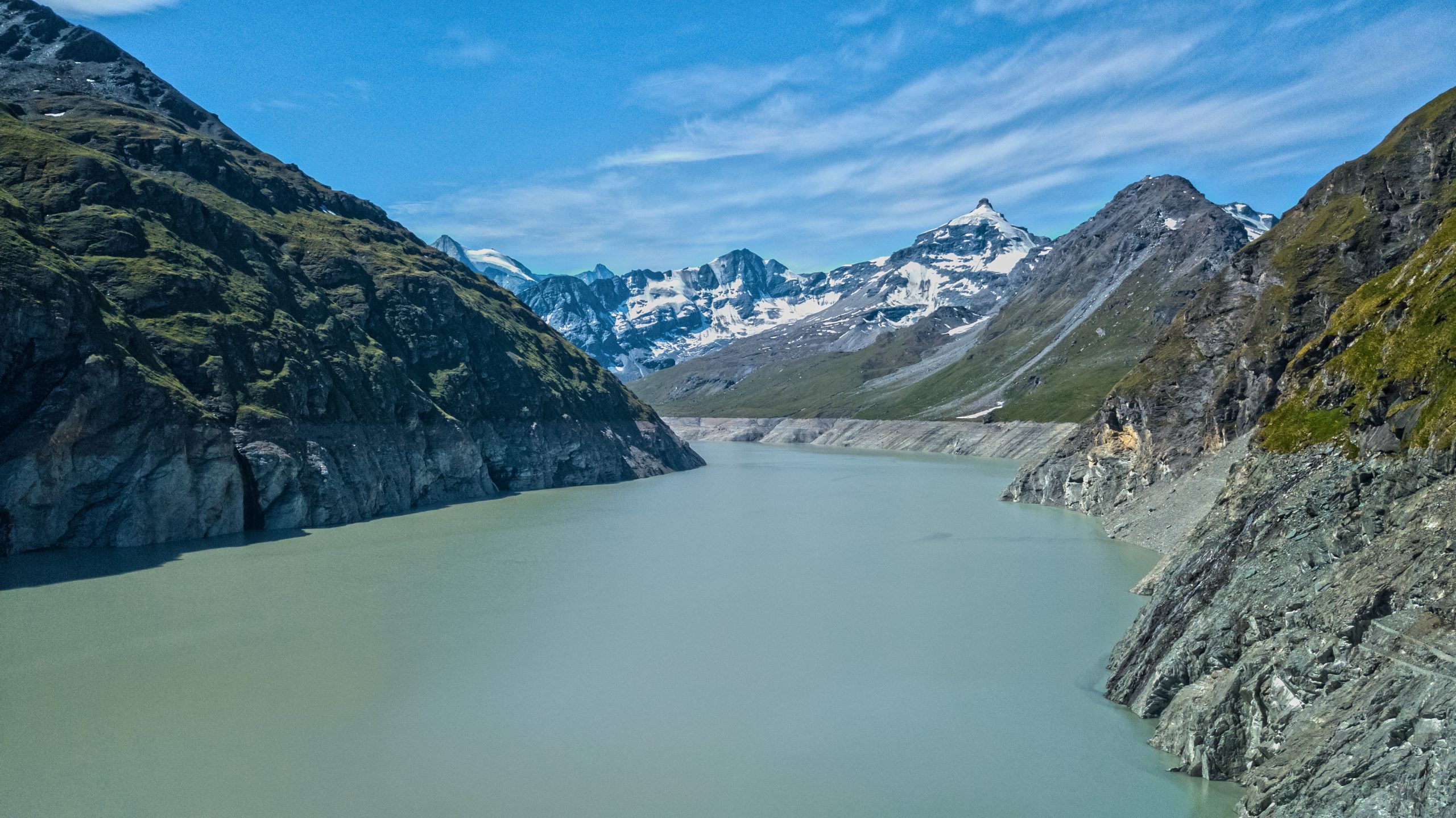
Magnificent hike from the Grande Dixence dam, the highest dam in Europe. The path takes the direction of the Ecoulaies hut, passes through the Col des Roux, then joins the Prafleuri hut before returning to the direction of the starting point.

Already more than 200,000 users!
Uphill
607m
Highest point
2820m
Downhill
607m
Lowest point
2365m
Route type
Loop
Download the map on your smartphone to save battery and rest assured to always keep access to the route, even without signal.
Includes IGN France and Swisstopo.
Parking du barrage de la Dixence.
Cable car between Dixence and Lac des Dix.
I indicate whether dogs are allowed or prohibited on this trail
From June to September
0 ratings
Also enjoy:

Already more than 200,000 users!