Uphill
270m
Length
3km
Duration
2h
Elev gain
270m
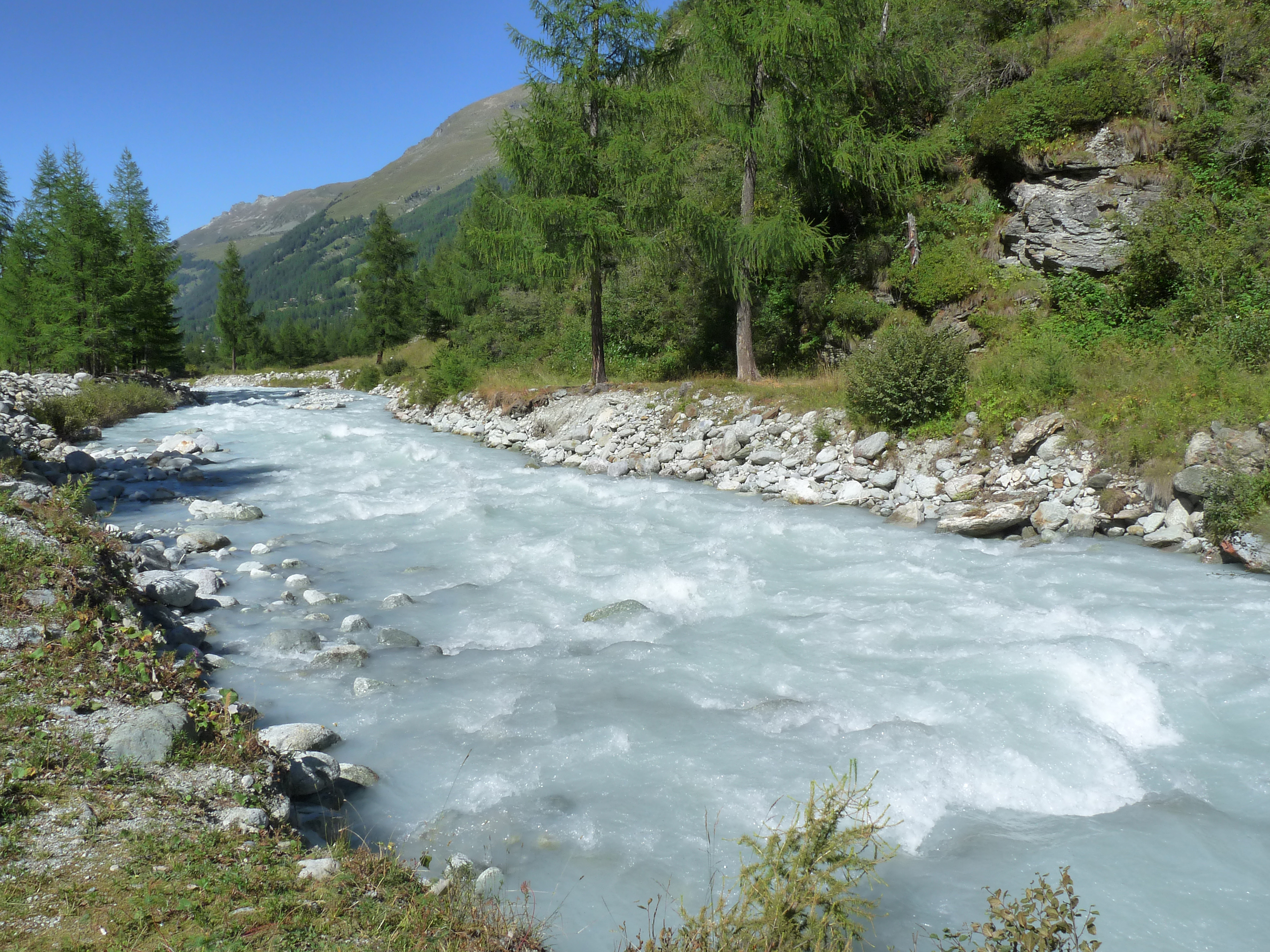
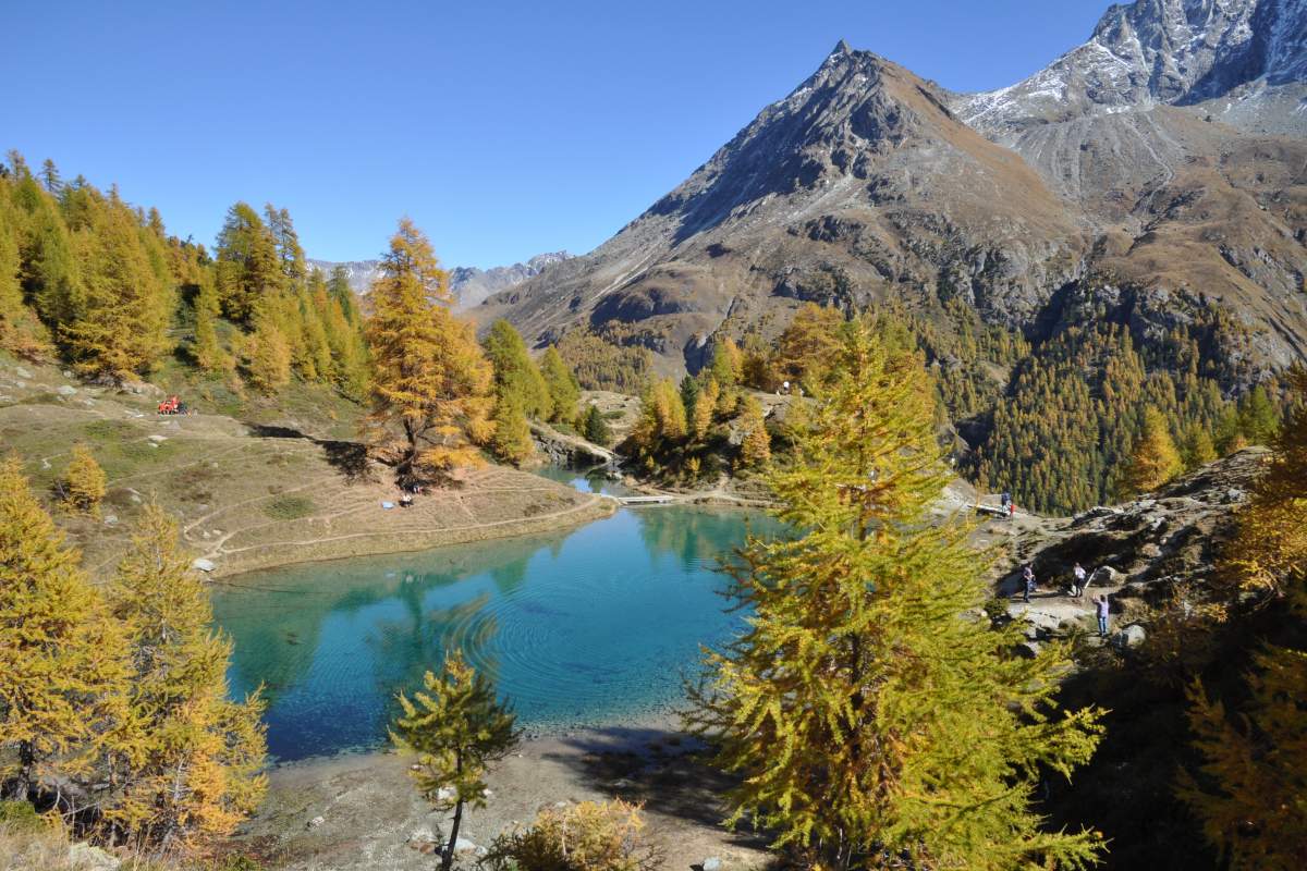
Short round trip to a small mountain lake, the color of which is as surprising as it is magnificent in good weather.

Already more than 200,000 users!
Uphill
270m
Highest point
2109m
Downhill
270m
Lowest point
1832m
Route type
There and back
Download the map on your smartphone to save battery and rest assured to always keep access to the route, even without signal.
Includes IGN France and Swisstopo.
I indicate whether dogs are allowed or prohibited on this trail
From May to September
6 ratings
Also enjoy:

Already more than 200,000 users!