Uphill
953m
Length
13km
Duration
6h30min
Elev gain
953m
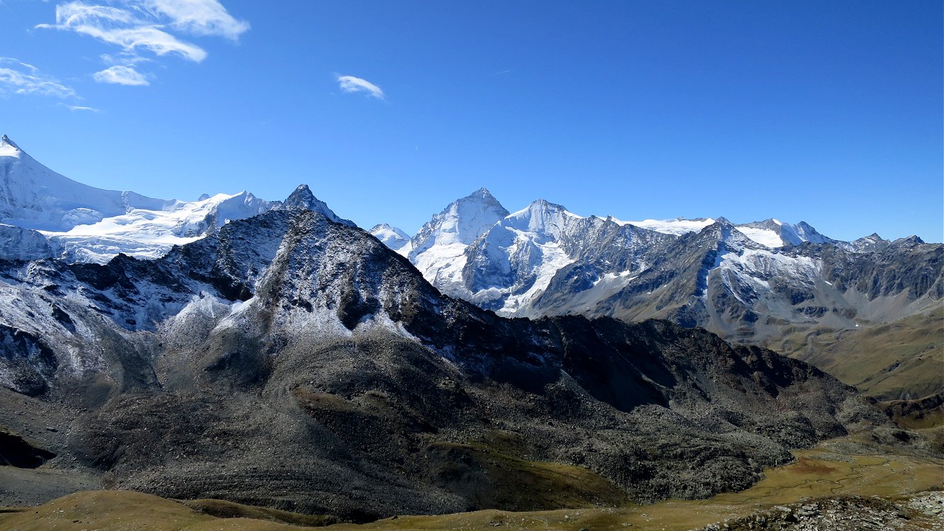
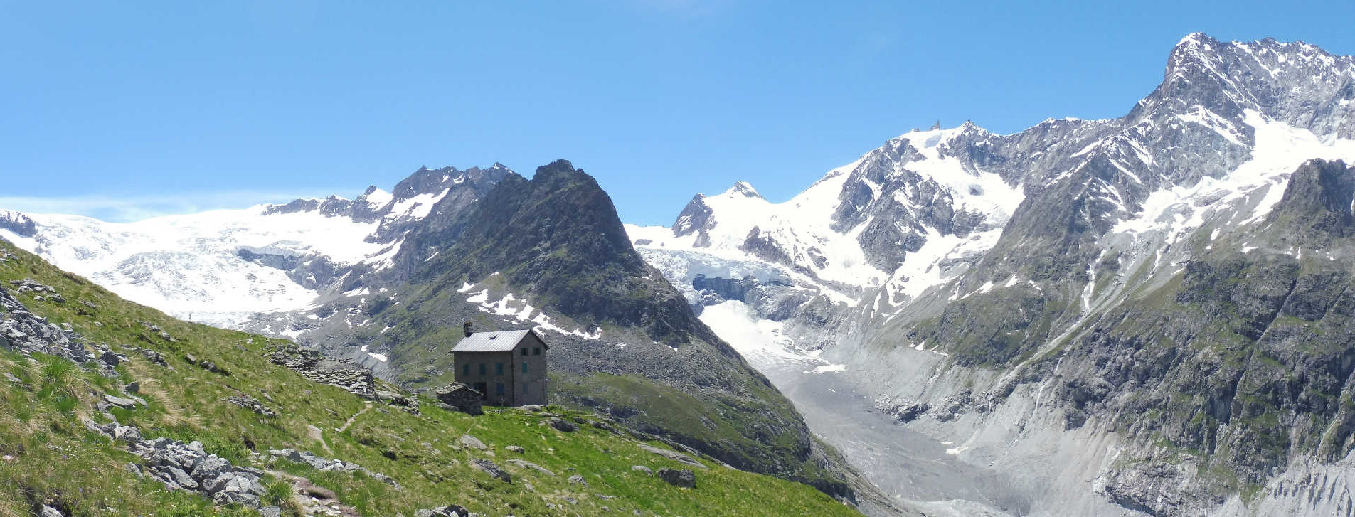
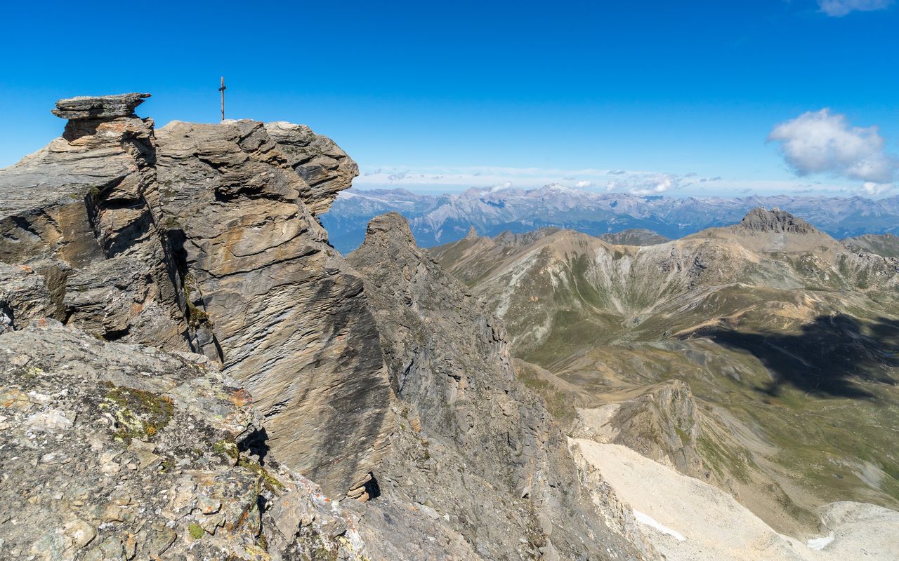
Superb hike to attack the Sasseneire, summit culminating at 3,253 meters above sea level. The trail begins at Lac de Moiry, passes through the Col de Torrent then the Lac des Autannes, until it comes out on the Sasseneire. At the top, the view is incredible, and in particular overlooks the Mont-Blanc massif.

Already more than 200,000 users!
Uphill
953m
Highest point
3172m
Downhill
953m
Lowest point
2231m
Route type
There and back
Download the map on your smartphone to save battery and rest assured to always keep access to the route, even without signal.
Includes IGN France and Swisstopo.
I indicate whether dogs are allowed or prohibited on this trail
From June to September
1 rating
Also enjoy:

Already more than 200,000 users!